outrageGIS mapping
Weather in the Great Smokies
Tennessee & North Carolina
Phone Edition
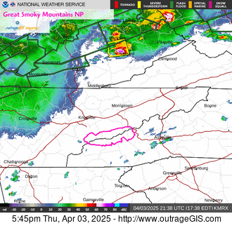
Current NOAA Radar, East TN: Enlarge | Animate![]()
Park outline shown in purple
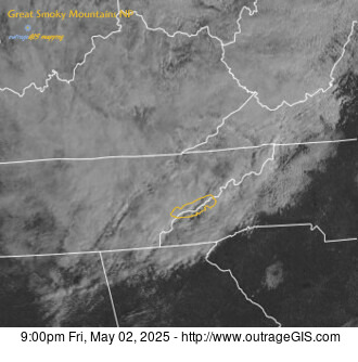
Current Visible Satellite: Enlarge
Note: Image dark? It's nightime in the Smokies!
Park outline shown in yellow
Current Web Cams

Look Rock webcam
Enlarge | 2891ft elev
west park looking east
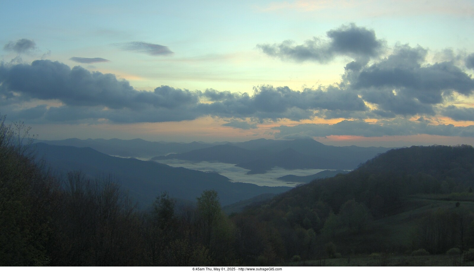
Purchase Knob webcam
Enlarge | 4911ft elev
east park looking east
Forecast for high country elevations around 5,000ft
Tennessee side
Partly Cloudy and 68 F at Knoxville, McGhee Tyson Airport, TN
Winds are Southwest at 9.2 MPH (8 KT). The pressure is 1017.3 mb and the humidity is 47%.
Last Updated on Apr 24 2024, 7:53 pm EDT.
North Carolina side
Fair and 65 F at Asheville, Asheville Regional Airport, NC
Winds are North at 9.2 MPH (8 KT). The pressure is 1017.8 mb and the humidity is 40%.
Last Updated on Apr 24 2024, 7:54 pm EDT.
![]()
Road Closures
from the National Park Service
Yesterday's precipitation & temperature
STATION ELEV HIGH LOW PCPN SNOW DEPTH

National weather forecast for today: Enlarge ![]()
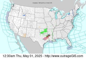
Current Watches & Warnings: Enlarge ![]()
Great Smoky Mountains Weather on NOAA's website