

 Pixel's Travels
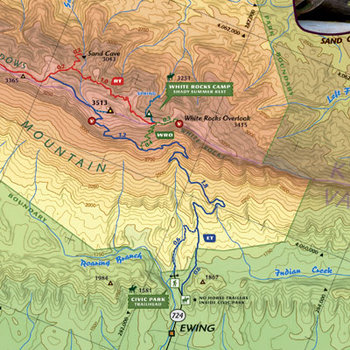 Images of this map
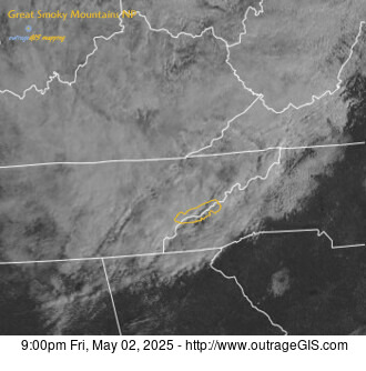 Weather maps and data

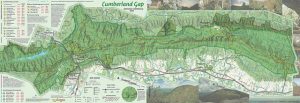
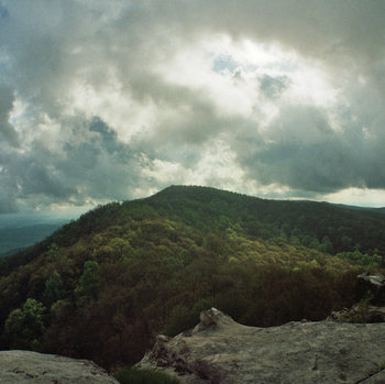
 Cumberland Gap Map
Distance: 16 Miles round-trip from the Civic Park trailhead at Ewing
Difficulty: +++
Scenic Views: ++++
Elevation Relief: 2,000ft ^^
Ownership: Cumberland Gap, NPS
| Cumberland Gap Trail Map: $14 |
 |
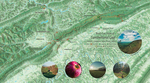
![]() Camp Hensley
Camp Hensley
The Pixel Team hiked up to Hensley Settlement after the South...
 Visit the page to