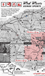
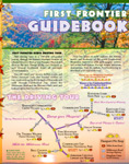
Red
River Gorge Sports Sheltowee
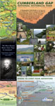
Trace Project Cumberland
Gap National Historical Park
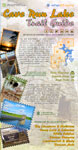
Cave
Run Lake, US Forest Service Jefferson
Co. Memorial Forest, Louisville Metro Parks Red
River Gorge,
US Forest Service |
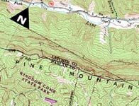
2D
Cartography Tour 3D
Cartography Tour Lexington
Walking Tour Elkhorn
City Cemetery Floyd
County 911 Ky
Boating Access Sites |
At
Leisure's Edge First
Frontier Audio Tour Pixel's
Travels Kingdom
Come Movies Audio
Bluegrass |
| |
|||
| |
|
|
|
 |
|
||||
| |
|||||
| |
 |
|
|||
| |
|
|
|||
| |
|
||||
| |
||||||||||||||
|
|
||||||||||||||||||||||||||||||||||||||
| BUY MAPS | CONTACT | PHOTOS | THE
SCIENCE OF MAPPING - THE ART OF CARTOGRAPHY
|
|||||||||||||||||||||||||||||||||||||
![]()
![]()
outrage • GIS
(Geographic Information Systems)
is
pronounced outrageous
Custom Cartography, Custom Mapping, Kentucky, Daniel Boone National Forest, Cave Run, Red River Gorge, Cumberland Gap, Hiking, Mountain Biking, Sheltowee Trace, Trail Maps, Maps, Guides, Boyd Shearer, Boyd Shearer Jr., Boyd Landerson Shearer Jr., Audio Driving Tours, Audio Atlas, Topography, GPS, GIS, geographic infromation system