Red River Gorge Backpacking Map
Distance: 9.3 Miles loop
Difficulty: +++
Scenic Views: ++
Elevation Relief: 500ft ^^^^
Ownership: Daniel Boone National Forest, USFS
| Red River Gorge Backpacking Map: $14 |  |
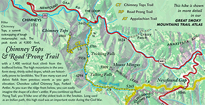
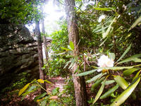
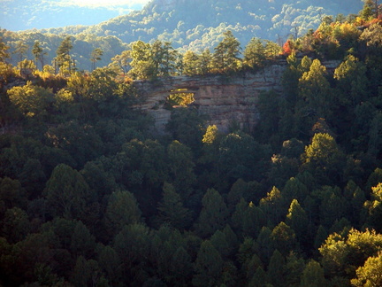
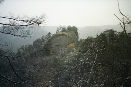
The Power Loop Hike…need more explanation? This favorite 9.25 mile loop has 4 ‘ups’ or creek-to-ridge ascents, which is 1800 feet of cumulative ‘up’ elevation change. If you finish it in 4 hours, you’re walking good; in 3 hours you’re marching; and in 2 hours you’re smokin’. About a 1/3 of the loop is on the Sheltowee Trace. This is one of the best loops in the Daniel Boone NF.
[Read more…]


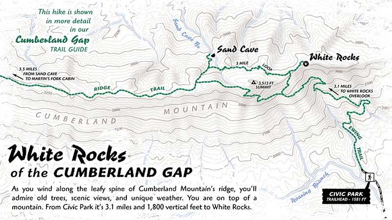
 Cumberland Gap Map