Follow the paw prints

Welcome to Pixel's Travels, a photo journal of great places to hike. Pixel is a Plott hound and all of his friends like to hike. That's why we call it Pixel's Travels. Check out Pixel's buddies. The first photograph was posted on January 10, 2004. Pixel was born on June 21, 2003 and he passed on September 10, 2018. His long excursions into the deep woods will always be remembered. As photo gallery technology has evolved, we have found it necessary to skip around various platforms to publish our images.


Photos from Jan 2004: outrageGIS.com/pixel

More photos: flickr.com/photos

Even more photos!: 500px.com/boydland


Pixel's first photograph submission January 10, 2004

Recent Photographs

Go Explore!

Our Favorite Hikes

A simple GPS tool for the phone

If you visit this site often, you likely have a favorite map app on your phone. I certainly do and I have installed dozens of apps over the years. Most focus on placing your location as a dot on the map.

The dot

Any map app that shows your location as a dot on the map fosters a dependence on your...

Our Blog

RRG 3D terrain map

Interactive web maps have come a long way over the years. First we had slippy maps using raster tilesets – they’ve been around for about twenty years and are incredibly durable. However, once the tileset is rendered, it’s not easy to change the look of the raster image. You will need to render ...


Our Clients' Maps

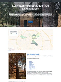
Lexington Neighborhood Tree Canopy Study
Class mapping project

Web page for student maps

NRE 355, Introduction to Geospatial Applications for Land Analysis, is a class at the University of Kentucky (UK) that uses Geographic Information Systems (GIS) to study our environment. Every year NRE 355 constructs various maps centered around an ...

Recent Photographs & Maps

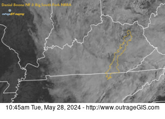
D Boone Hut hike

D Boone Hut hike Red River Gorge, Daniel Boone NF

Cumberland Gap, ridge and v...

Cumberland Gap, ridge and valley, and impact crater The interesting physiography of southeastern Kentucky and southw...