Need 3D topographic quad sheets? Goto to the Topo3D page.
NEW!! Send us your feedback and we'll send you a FREE GIFT, valued at $340!
|
Select 3D Visualizations
|
|
 |
|
 |
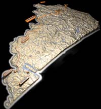
Views from the Red River Gorge Area, in increasing sophistication
|
 |
The Big Turtle is Here!
|
 |
|
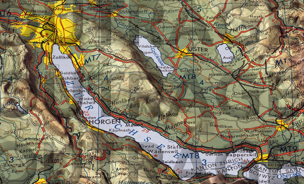 |
Zurich, Switzerland
|
 |
|
 |
|
 |
|
 |
|
 |
|
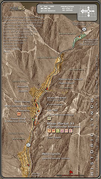
| Find the historic Hurricane Gap in this monster-sized image! 2.0M JPEG 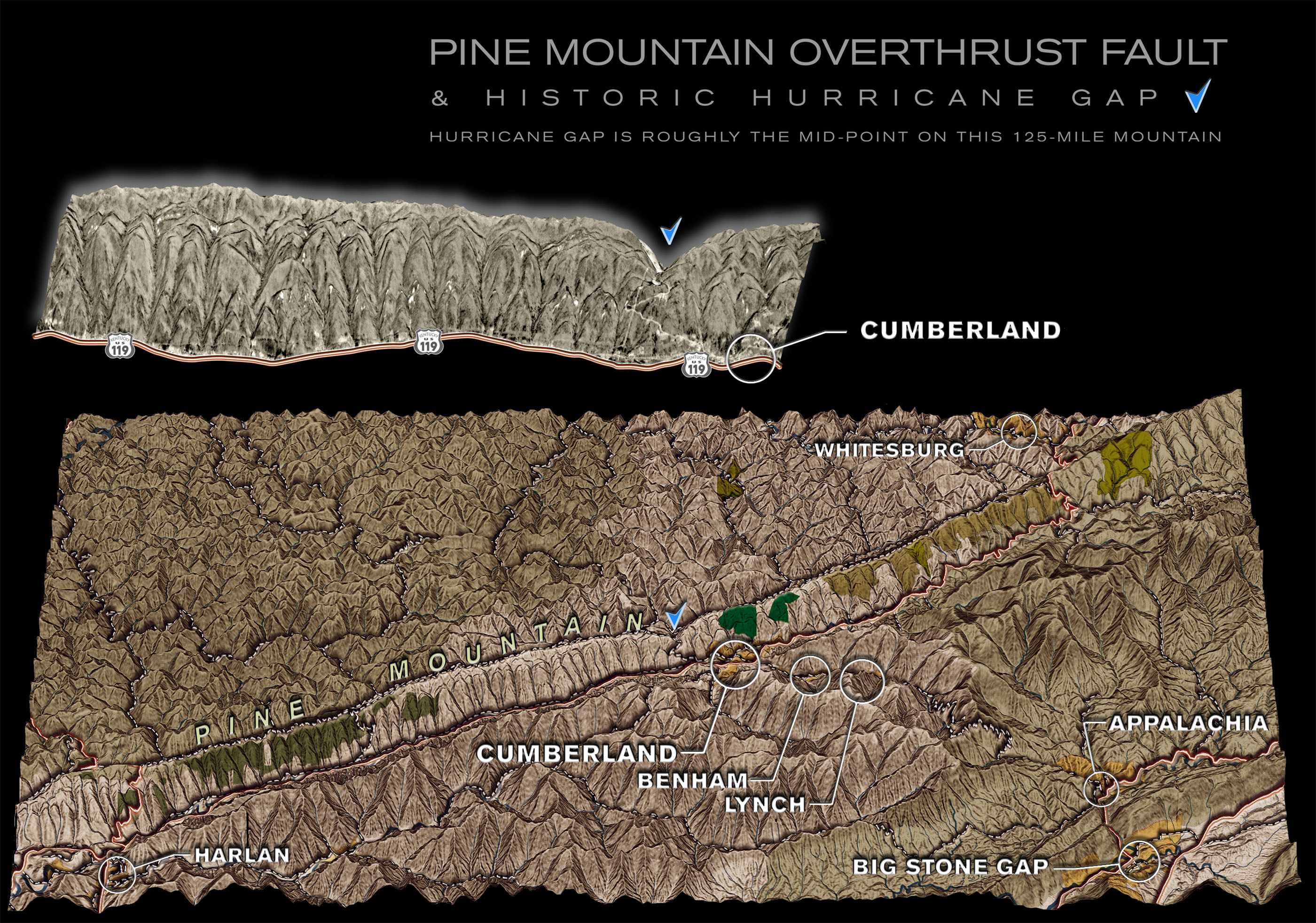 |
|
 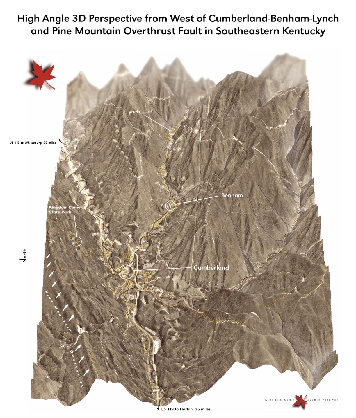 |
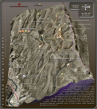
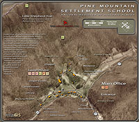
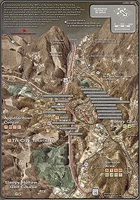
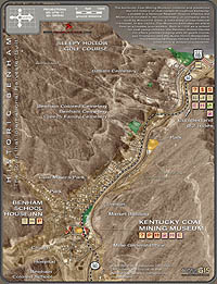
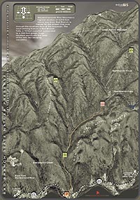
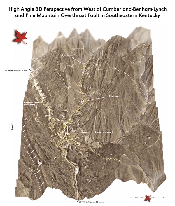
Pine Mountain Area in Southeastern Kentucky
|