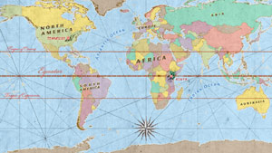
Map animation is the art of adding motion to cartographic layers to show time-based locational differences. OutrageGIS can synthesize most image and audio data into an animation sequence to use on the web, multimedia and broadcast.
|
• Mountain
Communities Kenya-Tennessee | 2005 • At
Leisure's Edge | 2001 • Kentucky's US Highway 60 (quicktime movs) Drive
on US 60, from Ashland to Paducah •
Segregated Parks (quicktime movs) • Kentucky's Cumberlands | 1999 (movs & gifs) Kentucky
Coal Mining Museum • United States Demography | 1998 (gifs) US Population Growth, 1790-1990 Is
Kentucky Safe from a Major Earthquake? (gif) |