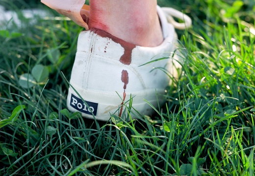
2009 Winter and 2010 Spring Bike Polo
Photos of bike polo at Coolavin Park in Lexington, KYStuff and stuff
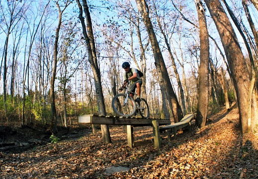
November in the Bluegrass
Photos of Kentucky, mostly film
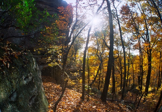
October in the Bluegrass
Photos from Kentucky, mostly film
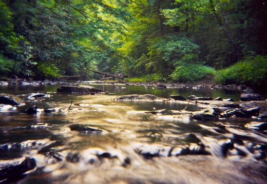
Summer Streams, Big South Fork NRRA
Big South Fork National River and Recreation Area
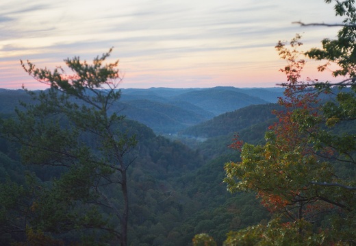
Red River Gorge, Auxier Ridge
Sunset hikes along the scenic Auxier Ridg.
This area is covered in our Red River Gorge Trail Map:
[img]http://www.outragegis.com/store/images/T/th_Gorge.jpg[/img]
Buy this map

Lexington 2nd Annual Bike Prom
Lexington 2nd Annual Bike Prom

Wolf Run Alleycat
Wolf Run Alleycat, August 8, 2009Wolf Run Alleycat, August 8, 2009
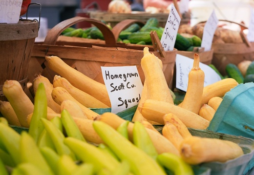
Farmer's Market in August
Farmer's Market in downtown Lexington on a bright, sunny August afternoonFarmer's Market in downtown Lexington on a bright, sunny August afternoon

Woodland Arts Fair, August 18-19, 2009
Our booth and friends at the 2009 Woodland Arts FairOur booth and friends at the 2009 Woodland Arts Fair
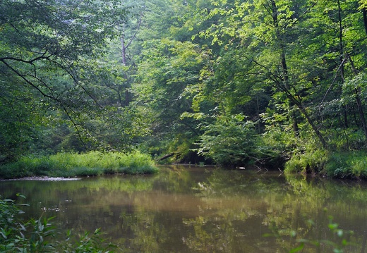
Sheltowee Trace, north of Red River Gorge
Sheltowee Trace along the banks of Gladie CreekSheltowee Trace along the banks of Gladie Creek.
This area is covered in our Red River Gorge Trail Map:
[img]http://www.outragegis.com/store/images/T/th_Gorge.jpg[/img]
Buy this map

The Morris book shop.
The place to find our maps and other things.Lexington's newest independent, general-interest bookstore, selling 20,000 new books plus calendars, greeting cards, journals and our hiking maps!

Bluegrass State Games Bike Polo Tournament
Invitational Bike Polo Tournament, Lexington, Kentucky. July 25, 2009.Invitational Bike Polo Tournament, Lexington, Kentucky. July 25, 2009.
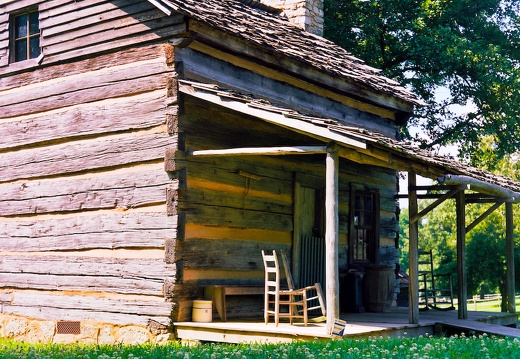
Collinsville, Tennessee
Historic pioneer settlement in northwest Tennessee
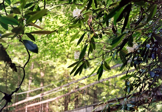
Sinking Creek, Sheltowee Trace
From Hawk Creek Groge to Sinking Creek on the Sheltowee Trace, London Ranger District
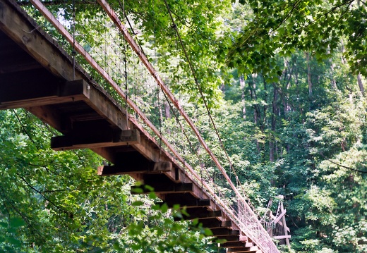
Red River Gorge
Chimney Top Creek and the Red RiverThe Sheltowee Trace and Chimney Top Creek. Suspension Bridge across the Red River and the big boulder.
This area is covered in our Red River Gorge Trail Map:
[img]http://www.outragegis.com/store/images/T/th_Gorge.jpg[/img]
Buy this map
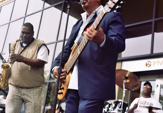
July in Lexington
Thriller!, 4th of July, sunrises and sunsets, an allerycat, London Ferrell community garden, rural byways

June in Lexington
Days and nights in Lexington, Kentucky with a focus on trails, skylines, and flower goodness.An early morning trip along Town Branch Trail from the Leestown Road trailhead to Alexandria Road with views of the special furlong posts and Lewis Manor spring. A few views of the city skyline during a moonrise and sunset. A pea pickin' party at London Ferrell Community Garden.

May in Lexington
Cityscape, community gardens, streets, my townCityscape, community gardens, streets, my town
Cave Run Lake and Eddie!
Eddie!
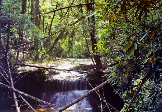
Long hike and overnight camp during moon rise in Red River Gorge
Swift Camp Creek, Rock Bridge, Creation Falls, Dog Fork, Rough Trails, campfire, little crazy dogSwift Camp Creek, Rock Bridge, Creation Falls, Dog Fork, Rough Trails, campfire, little crazy dog.
This area is covered in our Red River Gorge Trail Map:
[img]http://www.outragegis.com/store/images/T/th_Gorge.jpg[/img]
Buy this map
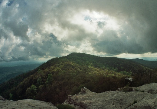
May 8-9: Ridge Trail, Cumberland Gap National Park
Cumberland Gap National Park backpacking trip from Civic Park to Hensley SettlementCumberland Gap National Park backpacking trip from Civic Park to Hensley Settlement along the Ridge Trail. Sunset at White Rocks and Hensley Settlement. Sunrise at Hensley.
This area is covered in our Cumberland Gap Trail Map:
[img]http://www.outragegis.com/store/images/T/th_GAP-125w.jpg[/img]
Buy this map
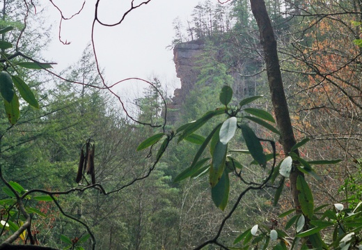
Apr 25: Clifty Wilderness, Red River Gorge
Swift Camp Creek Trail, Don Juan's GardenSwift Camp Creek Trail, Don Juan's Garden.
This area is covered in our Red River Gorge Trail Map:
[img]http://www.outragegis.com/store/images/T/th_Gorge.jpg[/img]
Buy this map
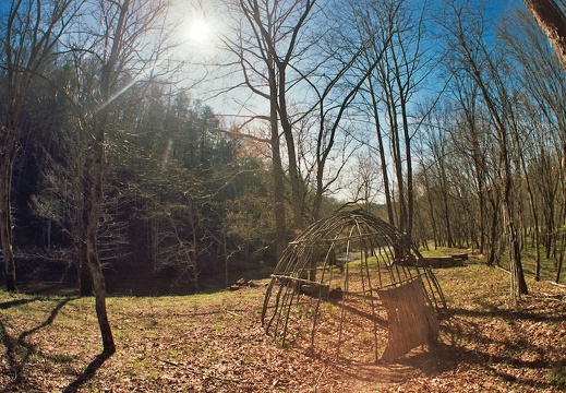
Apr 13: Indian Staircase, Sheltowee Trace, Red River Gorge
A hike on the ST, Bison Way, and Suspension Bridge TrailsFrom the Bison Way parking I toured the pleasant grounds of Gladie Creek, where the USFS has a preserved cabin and Native American encampment on the Red River. The river was swollen manila yellow in spring tide and the forest floor bright under a leafless canopy.
Just two weeks later the area above Gladie was ravaged by a wildfire ignited by a careless camper leaving a smoldering fire. Luckily forest service crews were able to contain the fire to 200 acres. Hikers often neglect spring fire season because they see so much new green growth and the creeks are full; yet in late April when the trees are bare and the sun is high they are recreating in serious fire hazard as this past weekend shows.
This area is covered in our Red River Gorge Trail Map:
[img]http://www.outragegis.com/store/images/T/th_Gorge.jpg[/img]
Buy this map

Mar 26-30: Portsmouth, OH
Tour along supreme historical mural painted on the flood wall.Tour along supreme historical mural painted on the flood wall.
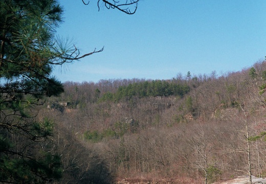
Mar 20: Blue Heron Loop, Catawba Overlook, Big South Fork
Bright spring day hike around Blue Heron, Devil's Jump, and Catawba OverlookBright spring day hike around Blue Heron, Devil's Jump, and Catawba Overlook.
This area is covered in our Big South Fork Trail Map:
[img]http://www.outragegis.com/store/images/T/th_BISO_Cover-125w.jpg[/img]
Buy this map
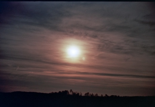
Feb 9: Full moonrise, Red River Gorge
Chimney TopChimney Top and Red River
This area is covered in our Red River Gorge Trail Map:
[img]http://www.outragegis.com/store/images/T/th_Gorge.jpg[/img]
Buy this map

March in Lexington
Sun and skyline, hawk and sunrise, birds in flightSun and skyline, hawk and sunrise, birds in flight
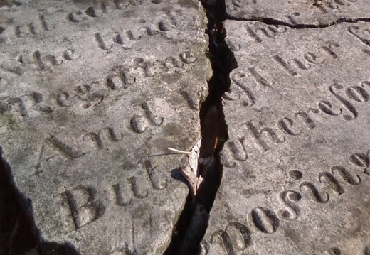
February in Lexington, including ice storm
Sunsets and sunrises, winter weather, clouds and lightSunsets and sunrises, winter weather, clouds and light
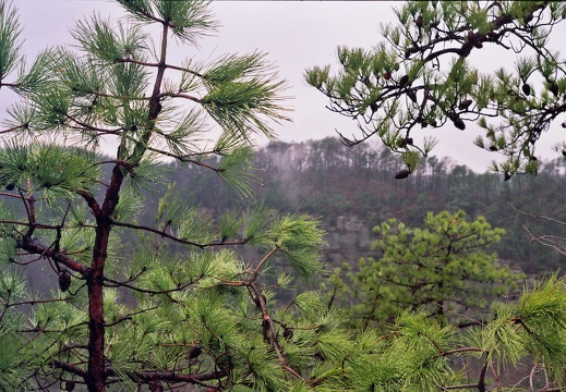
Mar 16: Pinch 'Em Tight, Red River Gorge
Grays Arch, Rough Trail, Rush Ridge all in a foggy hike. Sheltowee TraceA foggy hike around trails above Grays Arch. Winter's grip is slowly yielding to longer, warmer days. Evergreen trees stand out in the brown forests.
This area is covered in our Red River Gorge Trail Map:
[img]http://www.outragegis.com/store/images/T/th_Gorge.jpg[/img]
Buy this map
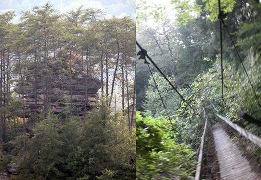
Sheltowee Trace Presentation
A presentation given at the ASA conference, March 2009. Map sketches of current project Sheltowee Trace atlas. The atlas will have 15 full-color tiles at a primary scale of 1:32k. Visit sheltoweetrace.comA presentation given at the ASA conference, March 2009. I showed map sketches of our current project: Sheltowee Trace atlas. The atlas will have 15 full-color tiles at a primary scale of 1:32k or 1 inch to a half mile. Due for release in summer of 2009.
Visit http://www.sheltoweetrace.com

