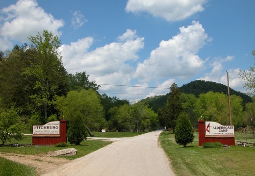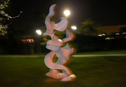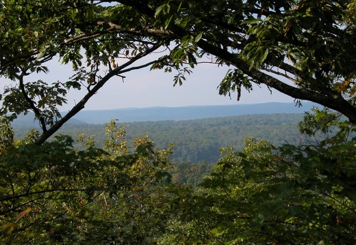
04 September 30: Sky High Knob Hopping at Cave Run Geocache
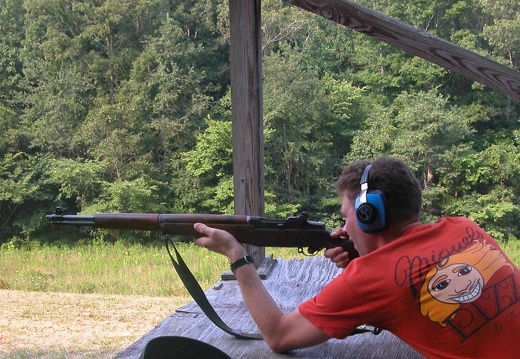
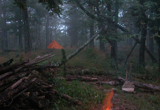
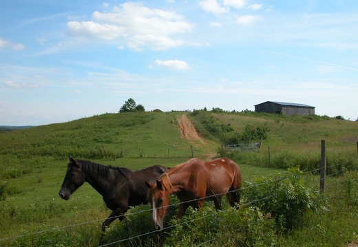
UTM: 17S E 277817 N 4218195 NAD83. That's the coordinates for the first cache in Sky High Knob Hopping at Cave Run, which is a multi-cache. This photo album shows photographic clues, but in reverse order since I know how to do it backwards! Although thisUTM: 17S E 277817 N 4218195 NAD83. That's the coordinates for the first cache in Sky High Knob Hopping at Cave Run, which is a multi-cache. This photo album shows photographic clues, but in reverse order since I know how to do it backwards! Although this multicache offers some difficult terrain, you can do it in 4 hours with an 8-mile loop with a minimum of bushwhacking, depending where you start and how creatively you use existing trails, roads, and deer paths. You can use the Cave Run Lake Trail Guide and not bring a GPS if you are good at reading maps. If you have a GPS, but need a map, don't worry! Each cache has Cave Run Lake Trail Guide as reward, but only take one set per person. Good Luck!
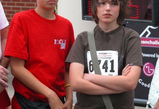
04 September 25: Urban Challenge in Lexington
At 6:30 a.m. on a fall Saturday, the Martin Luther King Neigborhood Association (my neighborhood) started the first-annual Verizon Wireless Urban Challenge. We had almost 100 teams compete to be the first to photograph 12 checkpoints in the city's urban cAt 6:30 a.m. on a fall Saturday, the Martin Luther King Neigborhood Association (my neighborhood) started the first-annual Verizon Wireless Urban Challenge. We had almost 100 teams compete to be the first to photograph 12 checkpoints in the city's urban core. Teams were given clues that directed them to a checkpoint, but teams could only walk, run, or use public transportation. No bikes, no roller blades, no helicopters. After the race, it was discovered that the shortest path to connect all checkpoints was 7 miles, although if you found the mayor and photographed her, you could skip any checkpoint. The first place team did it 1.5 hours.

04 September 19: Blue Heron Loop, Devil's Jump, and Catawba Overlook, McCreary County, KY
Blue Heron, or Mine 18, is a restored mining community that was built by the Stearns Coal and Lumber Company in 1937 on the banks of the Big South Fork of the Cumberland River. The mine was closed in 1962. In the late 1980's, the National Park Service resBlue Heron, or Mine 18, is a restored mining community that was built by the Stearns Coal and Lumber Company in 1937 on the banks of the Big South Fork of the Cumberland River. The mine was closed in 1962. In the late 1980's, the National Park Service restored this area as an outdoor museum, with fantastic interpretation. Hikers enjoy numerous vistas of the gorge from overlooks above the mining community and coal can be found at the lower elevations. Devil's Jump is a giant, overhanging slab of sandstone cliff that looms over the river valley. The rock that once composed the cliff fell into the river creating hazardous (and deadly) rapids. I visited just after the floods of Ivan receded and was surprised how high the river crested and the amount of mud deposited. Access from the Sheltowee Trace is a short hike down Beech Grove Road and into the gorge via the Catawba Overlook Trail.

04 September 20: Late summer views from Auxier Ridge, Powell County, KY
Auxier Ridge is a narrow, sandstone ridge above the Red River that yields many big sky overlooks. From the end of the ridge, you can see Courthouse Rock, a monolithic column or nipple of sandstone and Double Arch, an arch that has eroded into two distincAuxier Ridge is a narrow, sandstone ridge above the Red River that yields many big sky overlooks. From the end of the ridge, you can see Courthouse Rock, a monolithic column or nipple of sandstone and Double Arch, an arch that has eroded into two distinct gaps. Unfortunately, the Auxier section in the Red River Gorge is an orphaned trail system with no connection (other than with a road) to the remainder trail network. You could connect via a deer path up the ridge from Martin's Fork, but it isn't an easy hike.
This area is covered in our Red River Gorge Trail Map:
[img]http://www.outragegis.com/store/images/T/th_Gorge.jpg[/img]
Buy this map
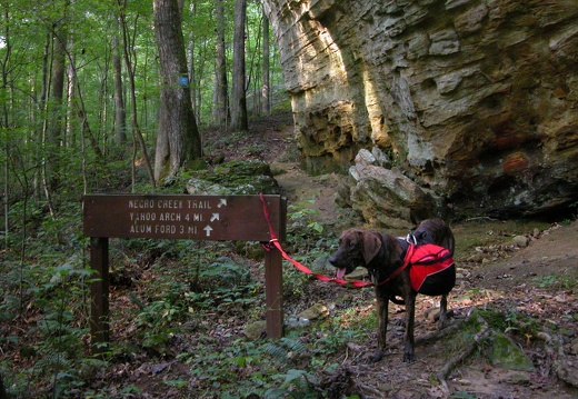
04 September 12: Yahoo Falls & Arch, Negro Creek, Cotton Patch, & Sheltowee Trace on BSF
Cumberland Falls was visited first for contrast: an impressive 60-foot plunge. Yahoo Falls, about 20 miles southwest, has a sub-fraction of the water volume falling over, but you can crane over the fall's lip and peer 110-feet to certain death. I noticedCumberland Falls was visited first for contrast: an impressive 60-foot plunge. Yahoo Falls, about 20 miles southwest, has a sub-fraction of the water volume falling over, but you can crane over the fall's lip and peer 110-feet to certain death. I noticed what I judged as evidence of rappelling...a gutsy endeavor. The arches here are more gentle and delicate form than those found in the Red River Gorge. They hang like fragile, elderly limbs and, in some cases, slightly rotting. There is much exposed rock with many opportunities for secluded exploration. A dubious historic cemetery (headstones with various rock slabs and debris decorating the ground above the casket) is located near the Cotton Patch Shelter. Think Blair Witch. The Sheltowee Trace intersects with Negro Creek Trail and a nice camp site is found there.
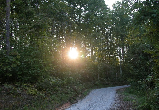
04 September 11: Hazel Patch, Camp Wildcat, & the Sheltowee Trace, Rockcastle County, Kentucky
Hazel Patch is a historic village settled in 1775 on a Rockcastle River tributary and today is accessible from I-75 (exit 49). The Wilderness Road, a pioneer route through the Appalachians, here spawned two new routes into the Bluegrass: Boone's Trace (noHazel Patch is a historic village settled in 1775 on a Rockcastle River tributary and today is accessible from I-75 (exit 49). The Wilderness Road, a pioneer route through the Appalachians, here spawned two new routes into the Bluegrass: Boone's Trace (northeast to Fort Boonesboro) and Skagg's Trace (west to Crab Orchard). Camp Wildcat is a Civil War battle site along the Wilderness Road with excellent site interpretation. Hoosier Knob was held by the 33rd Indiana Infantry and used the geography of the area to prevent northward movement along the Wilderness Road by Confederate troops. The Sheltowee Trace here is quad track to improved gravel roads. Near mile 151, the trail peels off to some twisty single and quadtrack. The area is mtb and atv with plenty of ridge quadtracks.

04 September 4: My Cousin Ashley's Wedding
I love my cousin! Toast Ashley and Brad so that they live a long and prosperous life!
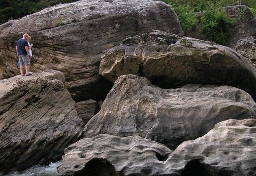
04 August 22: Bee Rock Recreation Area, DBNF, Laurel County, Kentucky
This site was once an antebellum resort named Sublimity Springs, a malaria-free summer retreat for wealthy southern plantation owners. Located on the Rockcastle River with about 12 miles of hiking and access to the Sheltowee Trace.
04 August 21: Mt. Olive to Heidelburg, Shetlowee Trace, Lee County, Kentucky
Heildelburg, once a stop on the L&N and major sawmill, is a sleepy village located on the banks of the Kentucky River. Settled in 1799 by Jospeh Brandenburg and named in honor of his German home town. The Sheltowee Trace crosses the Kentucky River herHeildelburg, once a stop on the L&N and major sawmill, is a sleepy village located on the banks of the Kentucky River. Settled in 1799 by Jospeh Brandenburg and named in honor of his German home town. The Sheltowee Trace crosses the Kentucky River here.
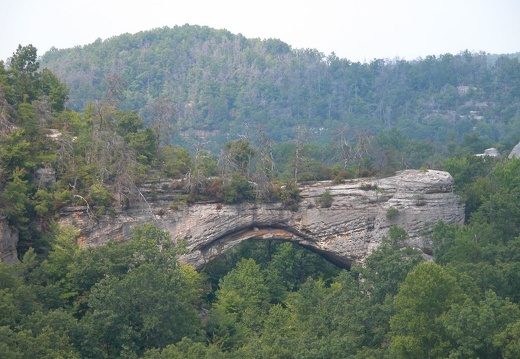
04 Natural Arch and the Great Gulf Recreation Areas, DBNF. August 15, 2004
The Natural Arch Recreation Area is a great picnic destination. 6-mile loop hike out to the arch nullifies the fried chicken and rhubarb pie you will soon afterward consume. The Great Gulf is a perpendicular fracture along a narrow ridge that has weathThe Natural Arch Recreation Area is a great picnic destination. 6-mile loop hike out to the arch nullifies the fried chicken and rhubarb pie you will soon afterward consume. The Great Gulf is a perpendicular fracture along a narrow ridge that has weathered out about 5-feet wide and 50-feet deep. Or it could be the 'gulf-like' feeling in the ravine below.
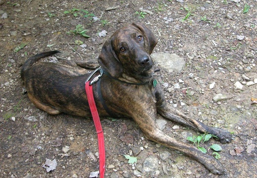
04 August 14: Mckee and Turkey Foot Recreation Area, DBNF, Jackson County, Kentucky
McKee is the county seat of Jackson County and was founded in 1858. It is one of the smallest county seats in Kentucky with a population of about 800 people. It was logging community that grew with the first railroad into the area in 1915. Turkey FootMcKee is the county seat of Jackson County and was founded in 1858. It is one of the smallest county seats in Kentucky with a population of about 800 people. It was logging community that grew with the first railroad into the area in 1915. Turkey Foot is one of many recreation areas near McKee. It is a state trout stream, primitive campground, and offers many miles of hiking, biking, horse, atv use and access to the Sheltowee Trace.
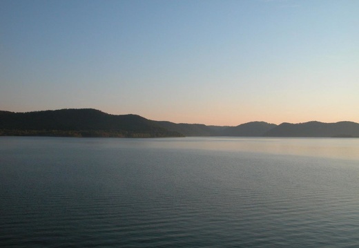
04 Caney Loop, Cave Run Lake, DBNF. August 8, 2004
The ever popular 9-mile Caney Loop. Although equestrian use has made for a slobbery, muddy, and difficult slog, today was a great ride. After (and during) spring rains, equestrians have riden this trail and destroyed it. Horses are basically 1-hp 4-pistoThe ever popular 9-mile Caney Loop. Although equestrian use has made for a slobbery, muddy, and difficult slog, today was a great ride. After (and during) spring rains, equestrians have rode this trail and destroyed it. Horses are basically 1-hp 4-piston mud mixers when the soil is wet. With little rain for a period, horses pack the surface (like today) and 'culitivate' baby heads and death cookies. Enjoy!
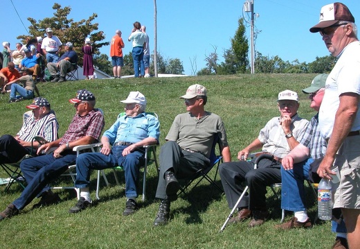
Plott Days, Perry County Coon Club, Indiana. August 7, 2004
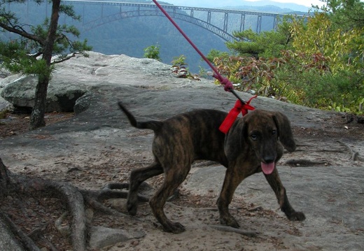
The Plott Hound (Pixel's breed) is a special dog. Herr Plott came from Germany in the late 18th century to North Carolina. He hunted boar in Germany, but with boar not native to the Americas, he turned his dogs to bear.... and so grew the Plott Hound.The Plott Hound (Pixel's breed) is a special dog. Herr Plott came from Germany in the late 18th century to North Carolina. He hunted boar in Germany, but with boar not native to the Americas, he turned his dogs to bear.... and so grew the Plott Hound. Today, it is the state dog of North Carolina and very loyal and gentle dog. Their instinct to hunt and chase is very strong and their bodies are well-adapted for nimble maneuvering in a variety of woodland environments. I don't hunt, but when I trail, Pixel often carries his lunch and mine too.
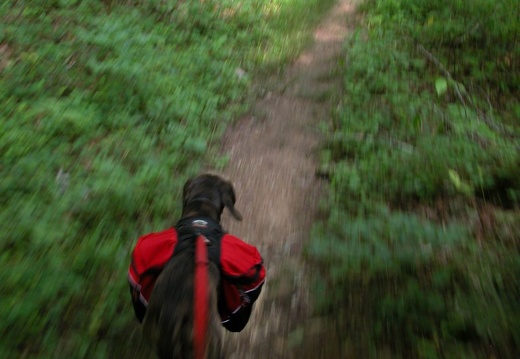
04 July 1: Gladie to Corner Ridge, Sheltowee Trace, Menifee & Wolfe County, Kentucky
This area is covered in our Red River Gorge Trail Map:
[img]http://www.outragegis.com/store/images/T/th_Gorge.jpg[/img]
Buy this map
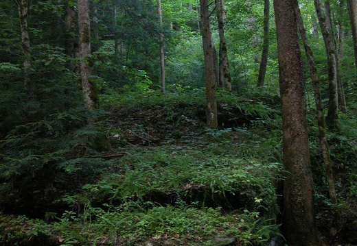
04 June 27: After the Flood on the Rough Trail, Wolfe County, Kentucky
This area is covered in our Red River Gorge Trail Map:
[img]http://www.outragegis.com/store/images/T/th_Gorge.jpg[/img]
Buy this map
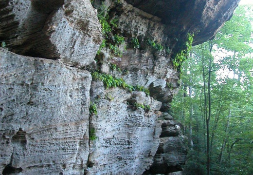
04 June 20: Indian Arch, Sheltowee Bridge, and Gladie, Wolfe & Menifee County, Kentucky
This area is covered in our Red River Gorge Trail Map:
[img]http://www.outragegis.com/store/images/T/th_Gorge.jpg[/img]
Buy this map
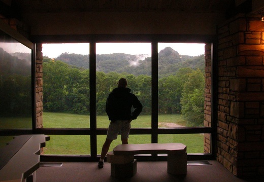
04 June 19: Gladie Welcome Center and Wildcat Wall, Wolfe County, Kentucky
This area is covered in our Red River Gorge Trail Map:
[img]http://www.outragegis.com/store/images/T/th_Gorge.jpg[/img]
Buy this map
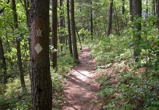
04 May 18: Sheltowee Trace, Powell County, Kentucky
This area is covered in our Red River Gorge Trail Map:
[img]http://www.outragegis.com/store/images/T/th_Gorge.jpg[/img]
Buy this map
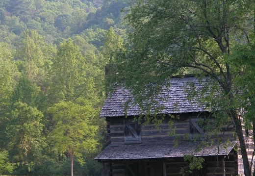
04 May 12: Sheltowee Trace & Osborne Bend, Powell & Wolfe County, Kentucky
This area is covered in our Red River Gorge Trail Map:
[img]http://www.outragegis.com/store/images/T/th_Gorge.jpg[/img]
Buy this map
04 May 6: Raven's Rock, Purple Valley, and Indian Crag, Powell County, Kentucky
This area is covered in our Red River Gorge Trail Map:
[img]http://www.outragegis.com/store/images/T/th_Gorge.jpg[/img]
Buy this map
April 23: Slade and Hatton Cemetery, Powell County, Kentucky
This area is covered in our Red River Gorge Trail Map:
[img]http://www.outragegis.com/store/images/T/th_Gorge.jpg[/img]
Buy this map

04 March 28: Buck Ridge, Wolfe County, Kentucky
This area is covered in our Red River Gorge Trail Map:
[img]http://www.outragegis.com/store/images/T/th_Gorge.jpg[/img]
Buy this map
