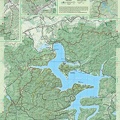
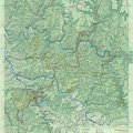
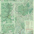
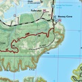
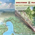
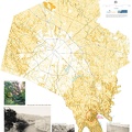
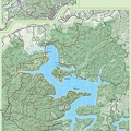
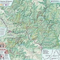
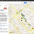
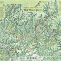
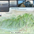
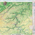
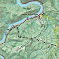
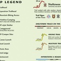
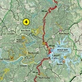
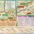
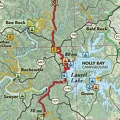
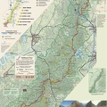
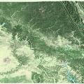
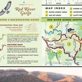
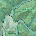
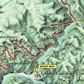
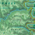
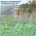
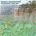
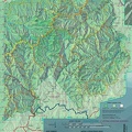
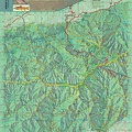
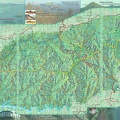
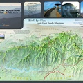
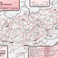
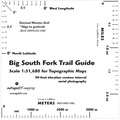
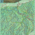
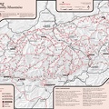
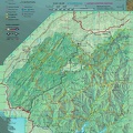
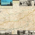
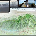
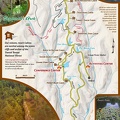
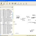
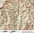
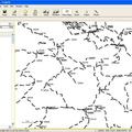
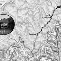
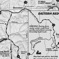
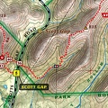
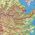
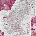
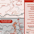
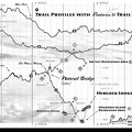
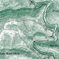
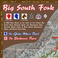
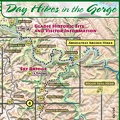
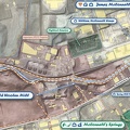
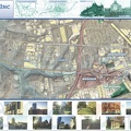
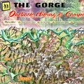
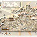
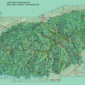
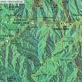
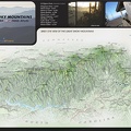
This a map that locates the 1:32,000 scale topographic maps that you'll use hike the Sheltowee Trace. - This a map that locates the 1:32,000 scale topographic maps that you'll use hike the Sheltowee Trace. Get to trailhead and then get on the trail. If you see thumbnails up top, then those are drafts of how we'll layout the Trace as an open folio style publication.
