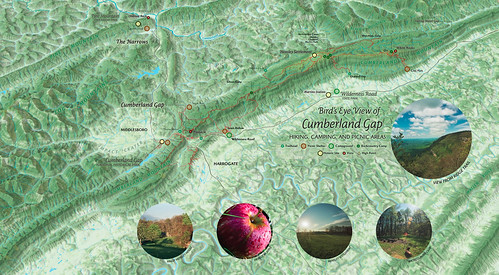
A bird’s eye view map of Cumberland Gap National Historical Park created in conjunction with our 2016 new release of the park map. This map is not georeferenced to real-world coordinates and uses a javascript mapping library, Leaflet, to generate the interactivity. We think of the developing project as a gateway for multimedia about the park’s environment and history that we want to share.


Leave a Reply