Town Branch Trail in maps
Students create many maps and a website for the soon-to-be-built Town Branch Trail during the Spring 2017 semester in the GEO 409 (Advanced Topics in GIS) in the Department of Geography, University of Kentucky. We used mainly open source GIS software QGIS and GitHub to create and publish our maps.
We used mainly open source GIS software QGIS and GitHub to create and publish our maps. For the final project, students grouped into separate teams for web page production, field GPS and photography, story production, and 3D mapping.
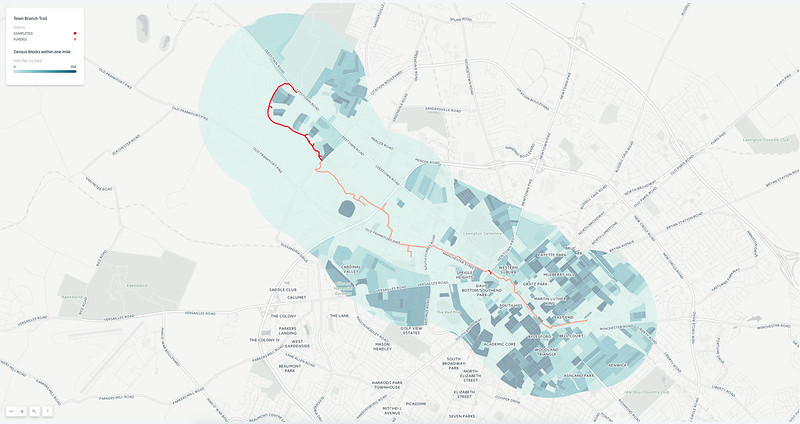
An interactive map of the content produced for the final project can be found in the following map:
The students compiled their maps, geotagged photos, and stories in a nicely designed website (https://reece2ke.github.io/geo409_site).
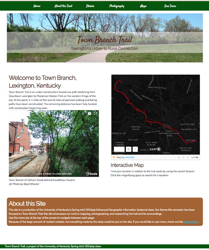
Student website for Town Branch Trail
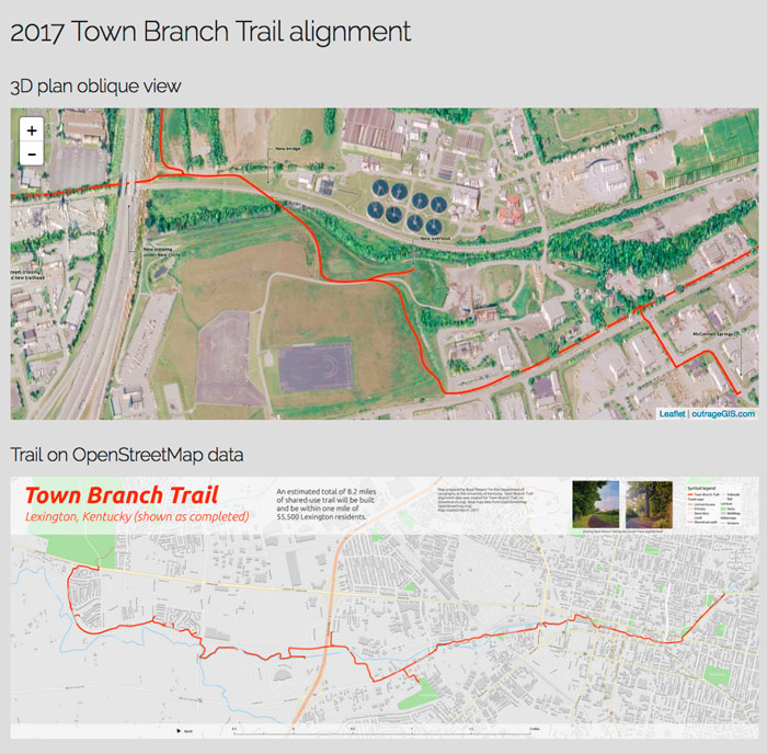
We focused on 3D mapping in the last part of the semester. The maps and animations can be found on this website (http://boydx.github.io/tbt).
Town Branch Trail in Maps
Leave a Reply