Home
Images of Maps
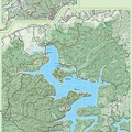
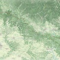
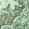
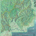
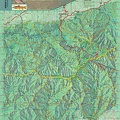
(raw) 3D map of Eastern Kentucky
Photo sizes
XXS - tiny
(240 x 163)
XS - extra small
(432 x 294)
S - small
(576 x 392)
M - medium
(792 x 539)
Original
(800 x 545)
slideshow
Download this file
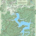
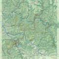
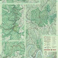
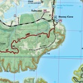
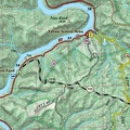
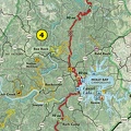
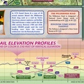
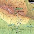
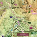
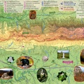
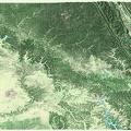
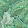
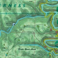
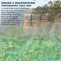
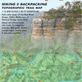
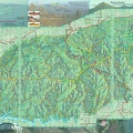
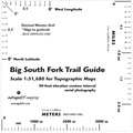
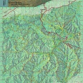
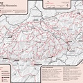
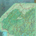
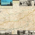
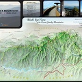
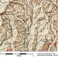
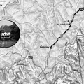
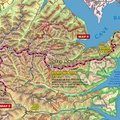
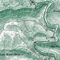
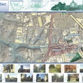
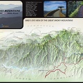
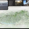
Raw 3D render of Eastern Kentucky and the Daniel Boone National Forest region.
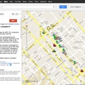
explore this map
- Raw 3D render of Eastern Kentucky and the Daniel Boone National Forest region.
explore this map
Information
Created on
Thursday 16 April 2009
Posted on
Thursday 16 April 2009
Visits
2443
Albums
Images of Maps
/
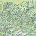
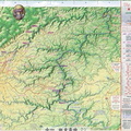
Samples of selected published maps
Powered by
Piwigo
