
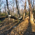
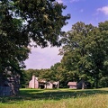
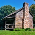
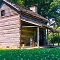
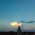
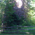
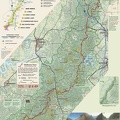
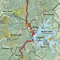
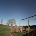
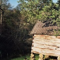
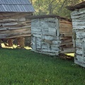
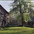
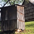
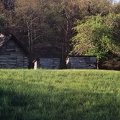
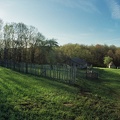
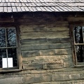
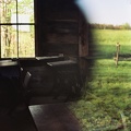
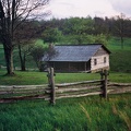
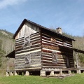
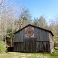
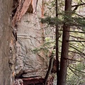
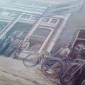
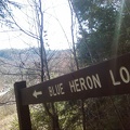
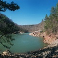
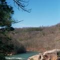
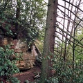
Blue Heron tipple as preserved in the NPS outdoor museum.


Information
Powered by Piwigo