Home
The Sheltowee Trace physiography
Photo sizes
XXS - tiny
(240 x 180)
XS - extra small
(432 x 324)
S - small
(576 x 432)
M - medium
(792 x 594)
Original
(800 x 600)
slideshow
Download this file
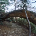
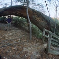
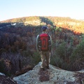
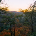
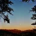
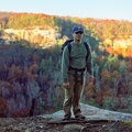
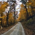
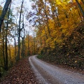
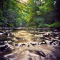
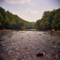
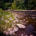
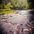
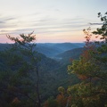
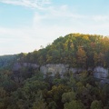
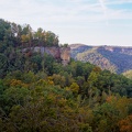
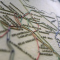
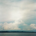
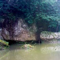
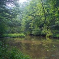
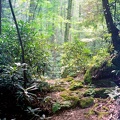
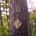
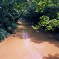
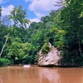
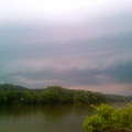
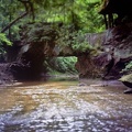
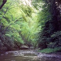
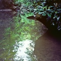
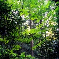
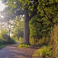
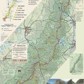
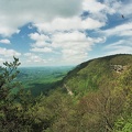
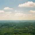
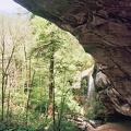
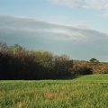
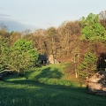
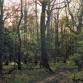
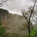
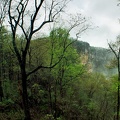
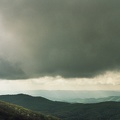
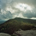
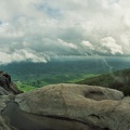
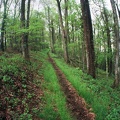
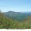
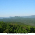
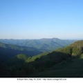
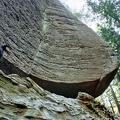
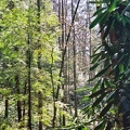
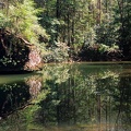
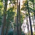
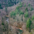
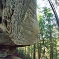
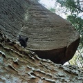
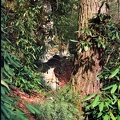
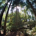
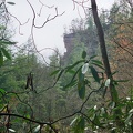
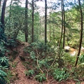
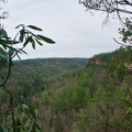
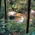
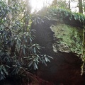
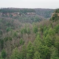
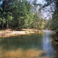
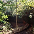
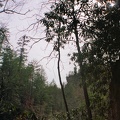
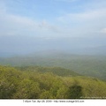
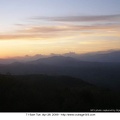
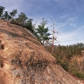
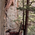
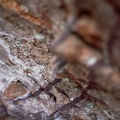
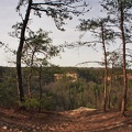
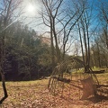
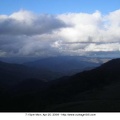
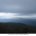
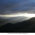
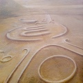
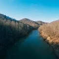
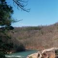
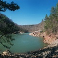
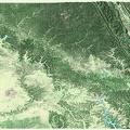
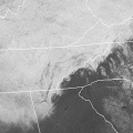
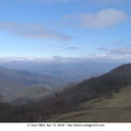
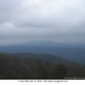
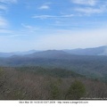
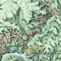
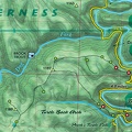
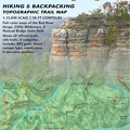
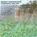
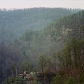
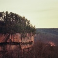
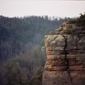
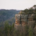
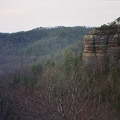
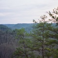
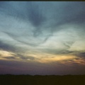
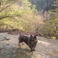
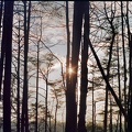
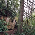
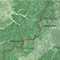
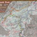
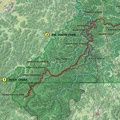
Major physiographic setting for the trail - Major physiographic setting for the trail. The trail winds through the cliff-lined and steep landscape of the Pottsville Escarpement, or often called the Cumberland Escarpment.
Information
Created on
Wednesday 1 April 2009
Posted on
Wednesday 1 April 2009
Visits
2447
Albums
Sheltowee Trace Presentation
Powered by
Piwigo
