Current GOES-16 satellite imagery
Process
The GOES-16 imagery is downloaded from the GOES on AWS open data repository. The imagery is collected every 15 minutes for the contiguous United States using AWS Command Line Interface. The images are then processed with GDAL 2.3. The process is automated using Python 3 and Bash scripts in a cron job, the task scheduling utility in Linux operating systems. Scripts to reproduce this process can be found on GitHub.com
Since GOES-16 doesn't capture the same spectral resolution for green light used in traditional true-color imagery, the green band was calculated from merging portions of the blue (band 1), red (band 2), and near-infrared (band 3) bands. I call this a "pseudo true-color" image since it appears too vegetated compared to other sensors that are closer to human vision, e.g., MODIS true-color image
Time
The imagery is created in two modes, day and night for Eastern Standard Time. Between sunset and sunrise in Kentucky, the imagery from bands 1-3 are no longer viable. The grayscale image (band 2) and the static GeoTIFFs are paused at sunset in Kentucky. Band 16 (CO2 Longwave band) can show the Earth's surface during clear skies and is used for overnight imagery (accessible with the toggle button on the map).
![]()
Static images available during day mode
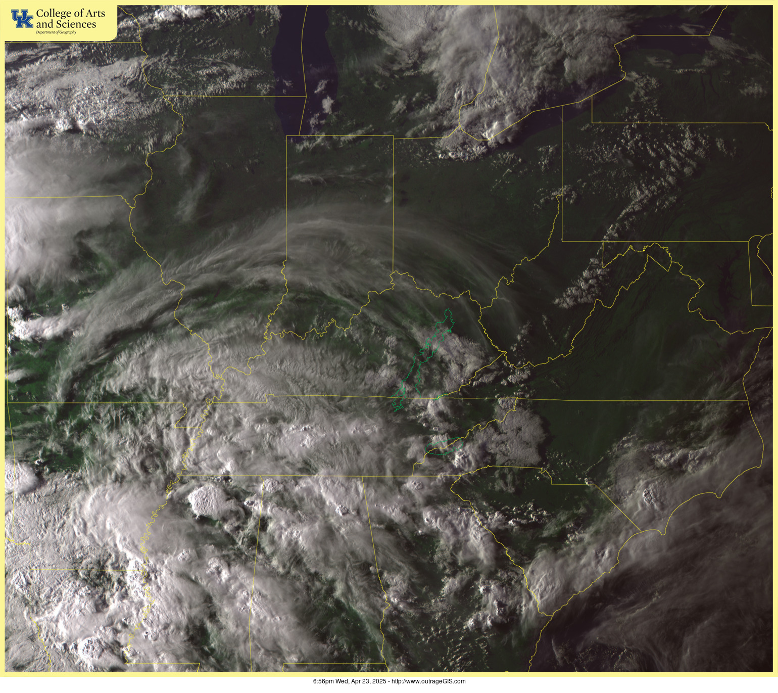
Pseudo-color image (bands 1-3, 1,230px x 1,095px)
Download GeoTIFF for contiguous U.S. (5,158px x 3,222px, approximately 50 MB). Available during day and paused at sunset during overnight.
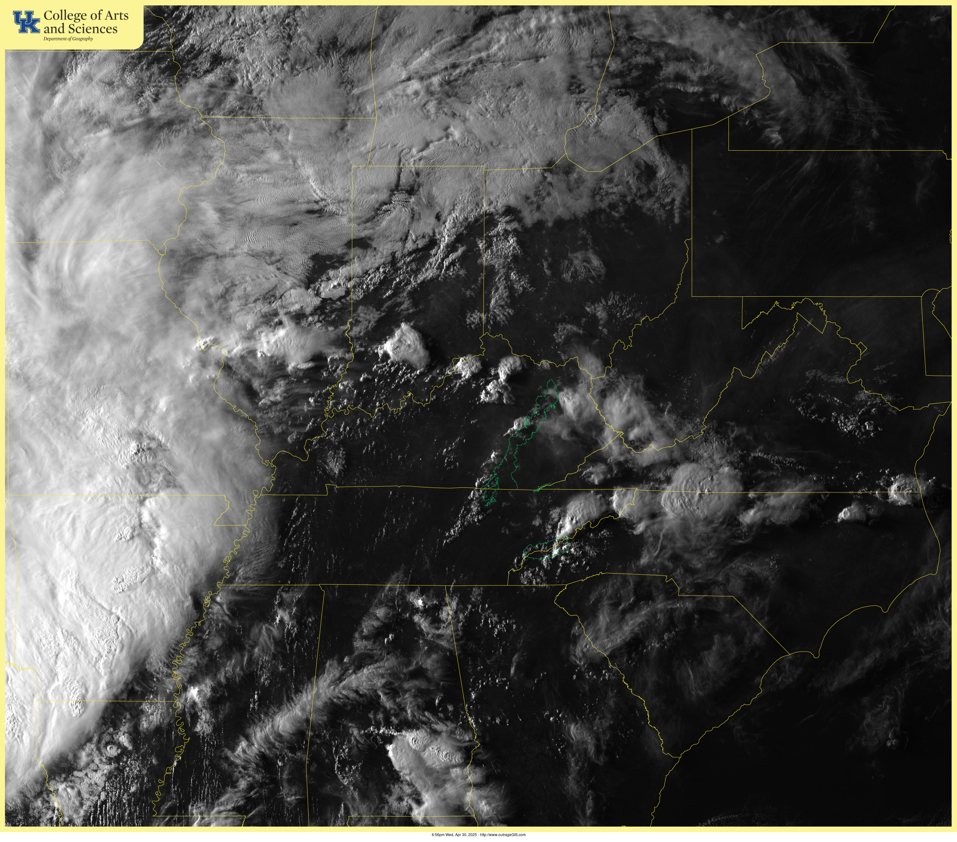
Grayscale image (band 2, 3,074px x 2,705px)
Download GeoTIFF for contiguous U.S. (10,316px x 6,443px, approximately 70 MB). Available during day and paused at sunset during overnight.
Current web cam images

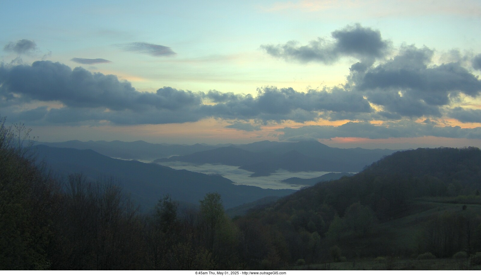
Look Rock
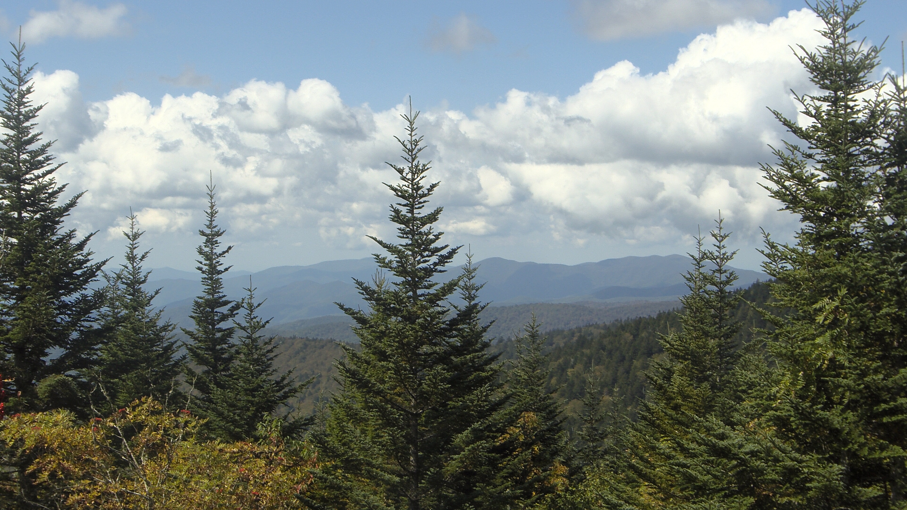
Purchase Knob
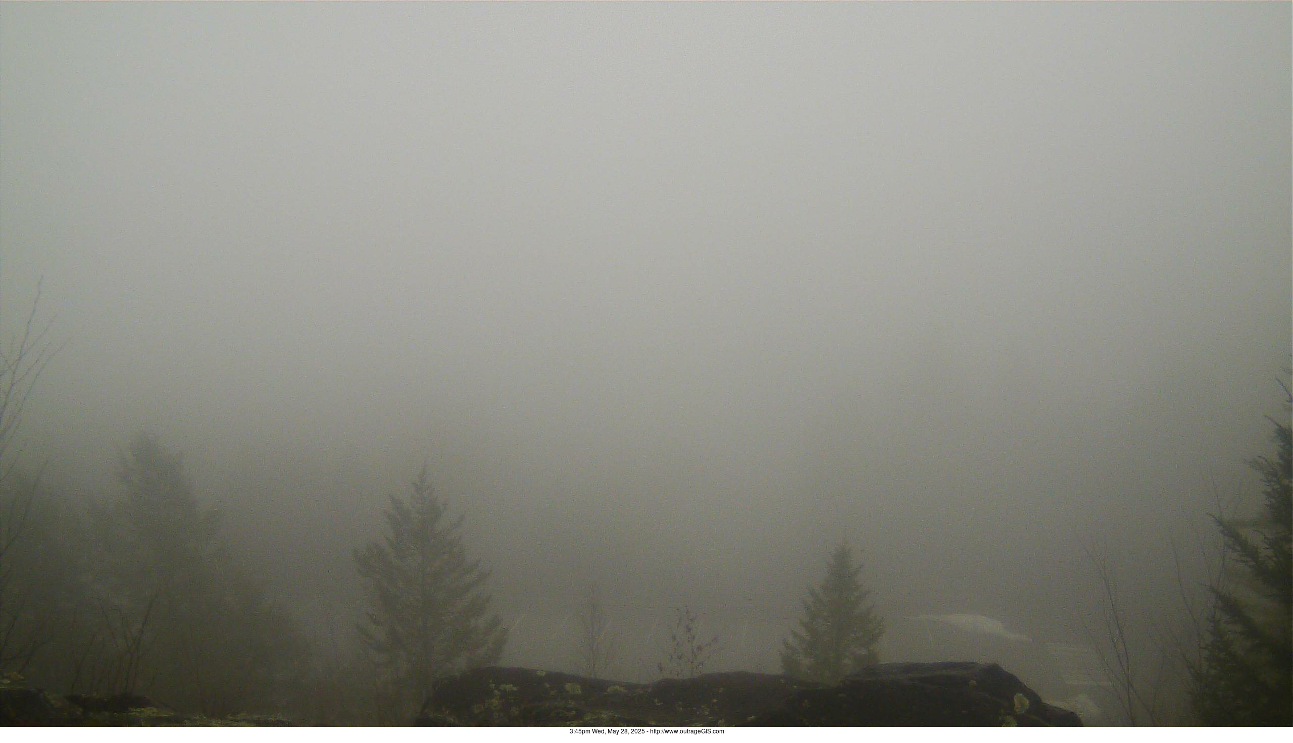
Clingmans Dome
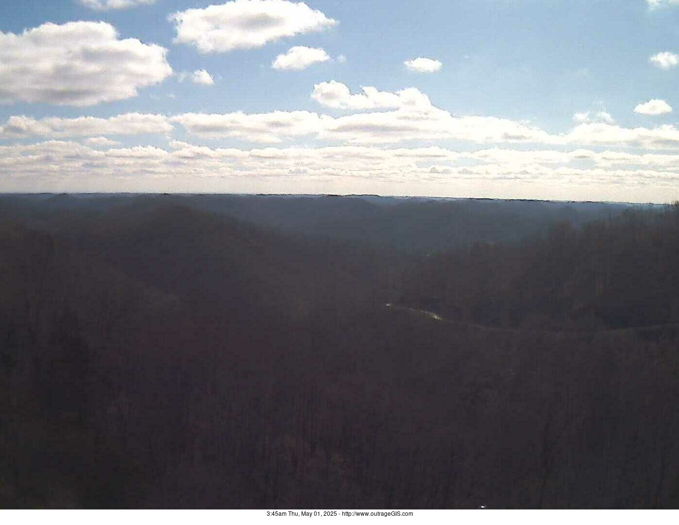
New Found Gap

Mammoth Cave
Daniel Boone
Yesterday's web cam animations

Look Rock
Purchase Knob