We like to explore
Our trail maps cover our favorite wilderness and public lands in Kentucky, Tennessee, Virginia, and North Carolina. We make maps that show trails, elevation contours, aerial photography, and GPS grids for precise navigation.
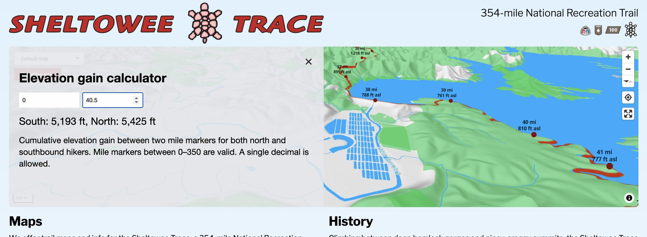
Sheltowee Trace
A 354-mile backcountry trail that spans the Daniel Boone National Forest and the Big South Fork.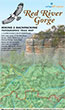
Red River Gorge Backpacking Map
Enjoy ruby flushed sunsets sweeping through hemlocks and fresh rhododendron blooms as you hike through murals of eroded sandstone.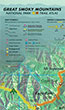
Great Smoky Mountains Trail Atlas
This innovative atlas contains GPS trail maps with tree canopy type and a gazetteer of scenic sites.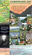
Cumberland Gap Trail Map
A unique map that shows trail elevation profiles for the park's popular loop and long-distance hikes.SheltoweeTrace.com
We've built an cumulative elevation gain calculator for our Sheltowee Trace 3D map.
Recent Photographs & Maps
Current weather and animations

Live weather stations for the Great Smokies NP and Daniel Boone NF...