Welcome some areas we’ve mapped. These images link to an interactive version. Some are available as printed versions in one of our trail map sets.
Birds Eye Views
Why do a 3D map? When I was a budding cartographer doing GIS, 3D maps were the “big kahuna” and we spent countless hours making clunky renders of our favorite patch of earth. Today, they are more easily made and it’s easy with apps like Google Earth. Attempting to make a well-designed, scientific illustration of the landscape is still an important focus for me.
Big South Fork 3D View, 2008
View map
 (requires Flash)
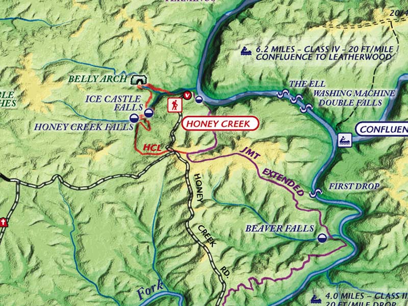
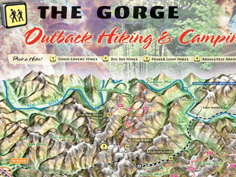
Red River Gorge 3D Map, 2007
View map (requires Flash)
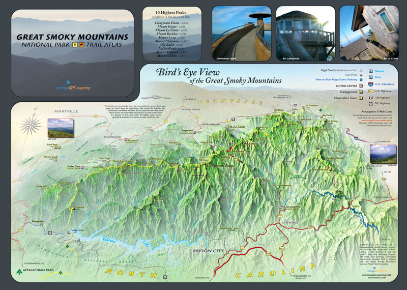
Great Smoky Mountains 3D Map, 2009
View map
 (requires Flash)
Sheltowee Trace 3D Map, 2011
View map (requires Flash)
These 3D maps are not true bird’s eye views, because their lines of perspective don’t converge, instead, they are parallel. Their horizontal and vertical (x,y) scales are different, but they are still uniform throughout the map. You can use a scale measure on these maps, which is something you can’t do with a bird’s eye view. The illumination comes from different directions in each of the maps. At the beginning of making the maps, I illuminated the model from the southeast, much like reality. However, this created terrain inversion for many viewers, so in later maps, I moved the illumination source to the northwest, which is not the reality where I map. But, it makes it easier for most folks to read.
Visit our archive to see other 3D maps and cartography from our early days.


is the great smokey mountain 2009 3d map for sale?