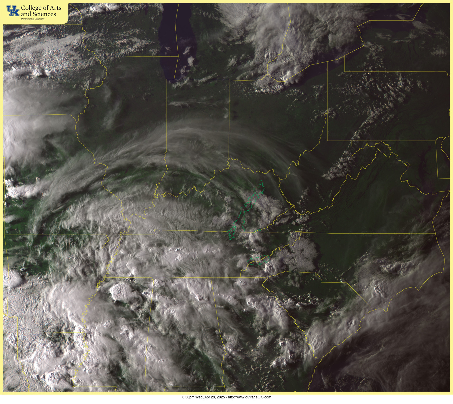
Dropdowns guide you to pages with low-resolution previews of full-day animations of mountain webcams and a visible satellite. Webcams can go black or freeze on one frame.
Instructions:
- After all of the images download (roughly 200k each) refresh your browser to synchronize play.
- Click on image to get higher detail animation. Each frame is date stamped.
- Dates are given in YearMonthDay, e.g., 240101 is January 1, 2024.

©outrageGIS mapping, 2001–2025
