Current Forecast
Last update local time:
6:45am Fri, May 08, 2026 - outrageGIS.com
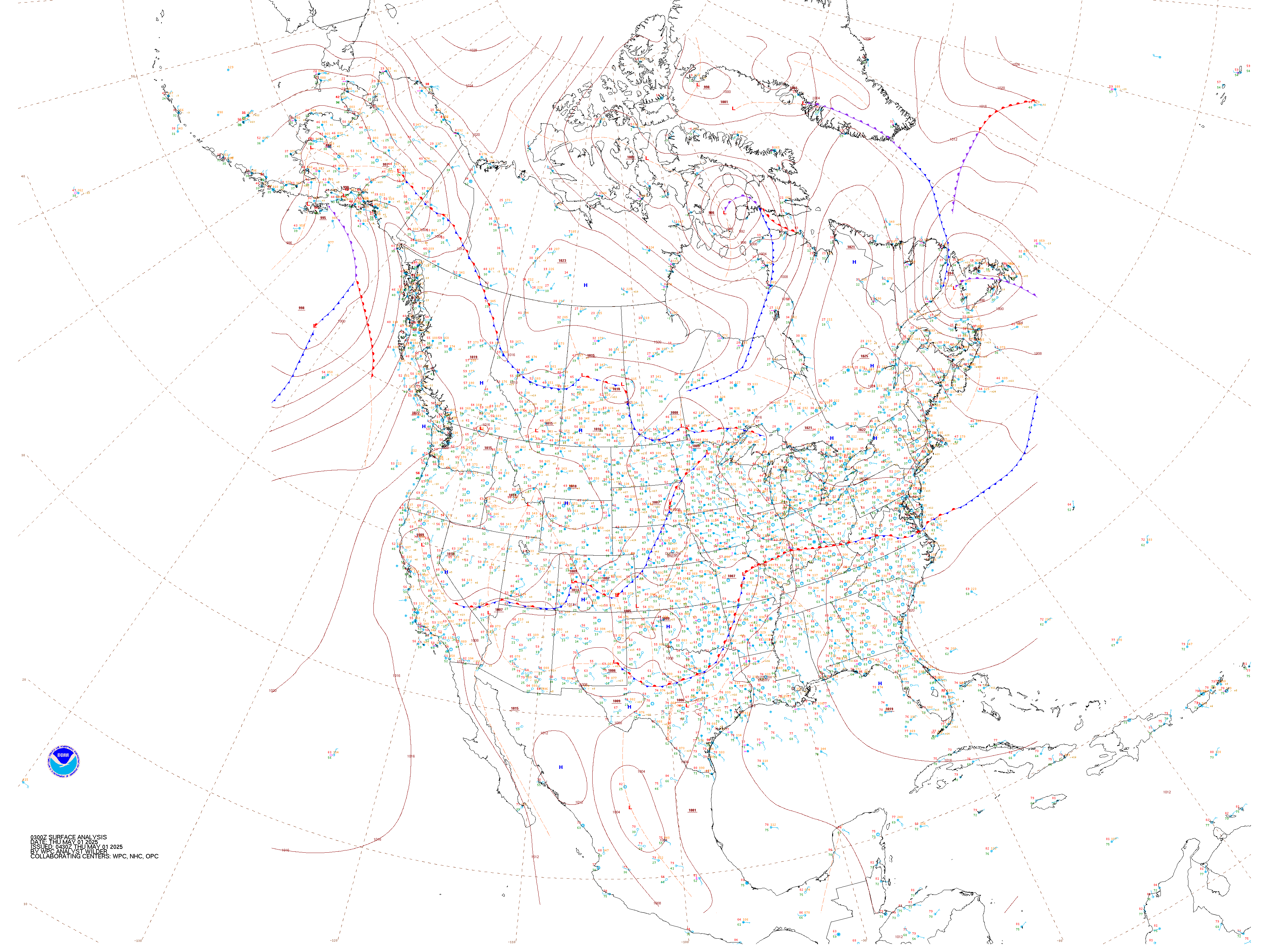
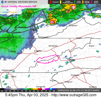
Current Satellite Imagery
Current Webcams

2,891ft elevation
West park looking east

4,911ft elevation
East park looking east
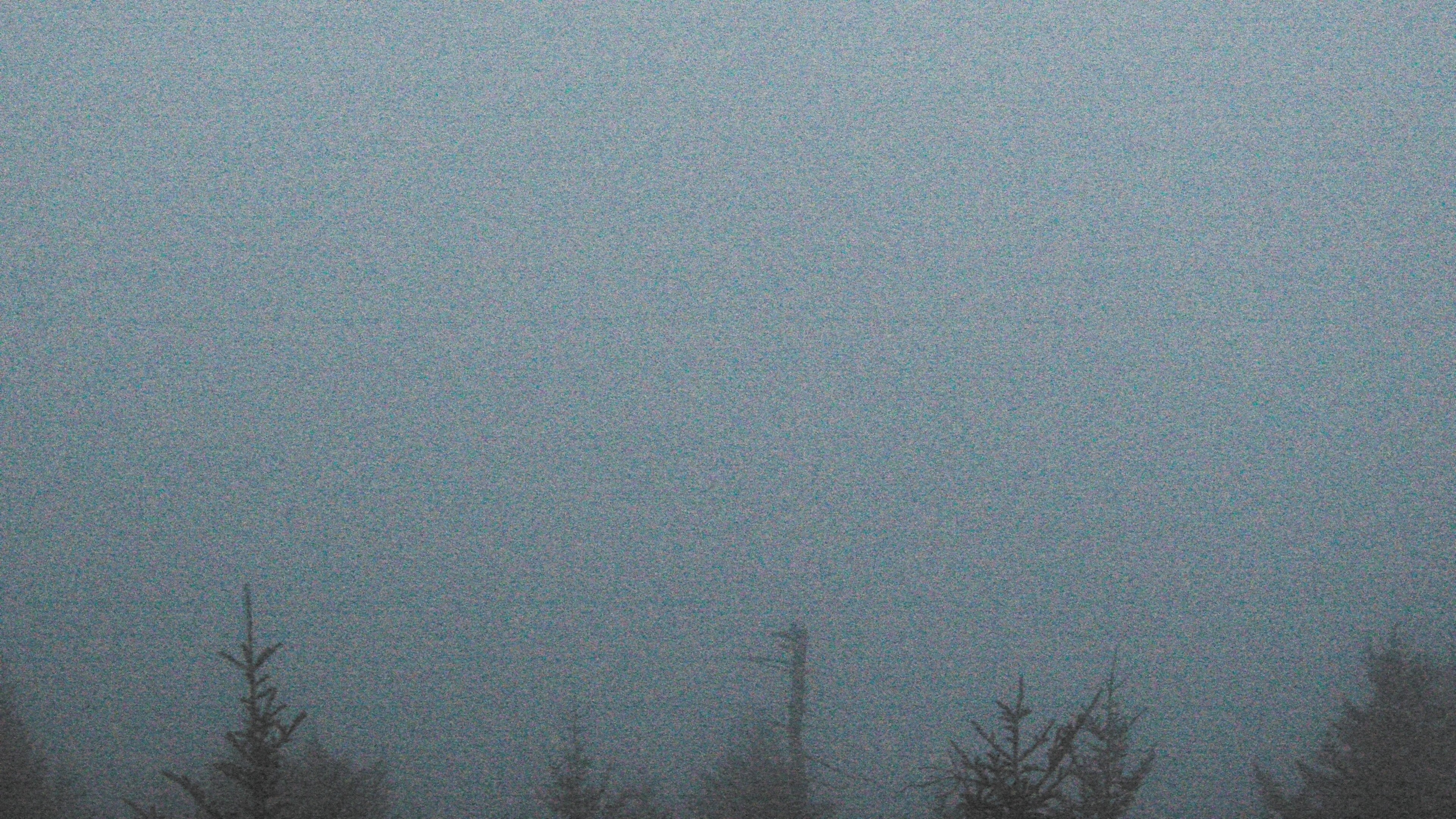
6,644ft elevation
Central park looking northwest
Climate & Past Observations
Look Rock yesterday
Purchase Knob yesterday

Kuwohi yesterday
Past Observations: Yesterday's precipitation and temperature
24-hour observations for 5 locations in national park (ending early this morning, approximately 7:30A.M., EST). Gives high & low temperatures, precipitation, and snow depth in INCHES for Sugarland Center, Newfound Gap, Cades Cove, Oconaluftee, & Mt. LeConte.
STATION                      HIGH  LOW    PCPN    SNOW   SNOW DEPTH
GTLT1: Sugarland Center    :  71 /  54 /  2.00 /     M /    M
NFGT1: Newfound Gap, TN    :  63 /  50 /  1.29 /   0.0 /    0
TNST1: Cades Cove          :  69 /  54 /  2.10 /   0.0 /    0
MTLT1: Mount LeConte       :  53 /  44 /  2.30 /     M /    M
CRKN7: Oconaluftee         :  70 /  56 /  1.28 /     M /    M
Recent Photographs & Maps
Current weather and animations
Live weather stations for the Great Smokies NP and Daniel Boone NF...


