Welcome fellow Hiker
Grand sandstone arches tower over cool, secluded valleys.
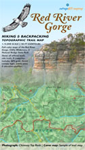
Red River Gorge Backpacking Guide is a printed topographic trail map at 1:15,840 scale with 50-ft contours, GPS grid, elevation profiles, and GPS-mapped backcountry trails. This map the most detailed navigation tool you can fit in your back pocket that doesn't require batteries.
Places You'll Visit
Natural Bridge - Tunnel Ridge - Chimney Top - Sky Bridge - Rock Bridge - Swift Camp Creek - The Rough - The Sheltowee - Funkrock City - Long Wall - Tower Rock - Auxier Ridge - Whittleton Arch - Fat Man's Misery - Castle Arch - Star Gap Arch - Half Moon Arch - Moonshriner's Arch - Copperas Creek - and many more....
Let's plan your adventure
This is the Red River Gorge National Geological Area and Wild and Scenic River. Enjoy ruby flushed sunsets sweeping through hemlocks and fresh rhododendron blooms as you hike through murals of eroded sandstone. Our maps take you there.
At a scale of one inch to a quarter mile, our trail map is perfect for backpack camping and craggy, scenic exploration.
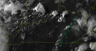
Current weather and alerts
Visit our live weather station for the Daniel Boone National Forest, including the Red River Gorge and the Sheltowee Trace.
3D maps to plan your hike
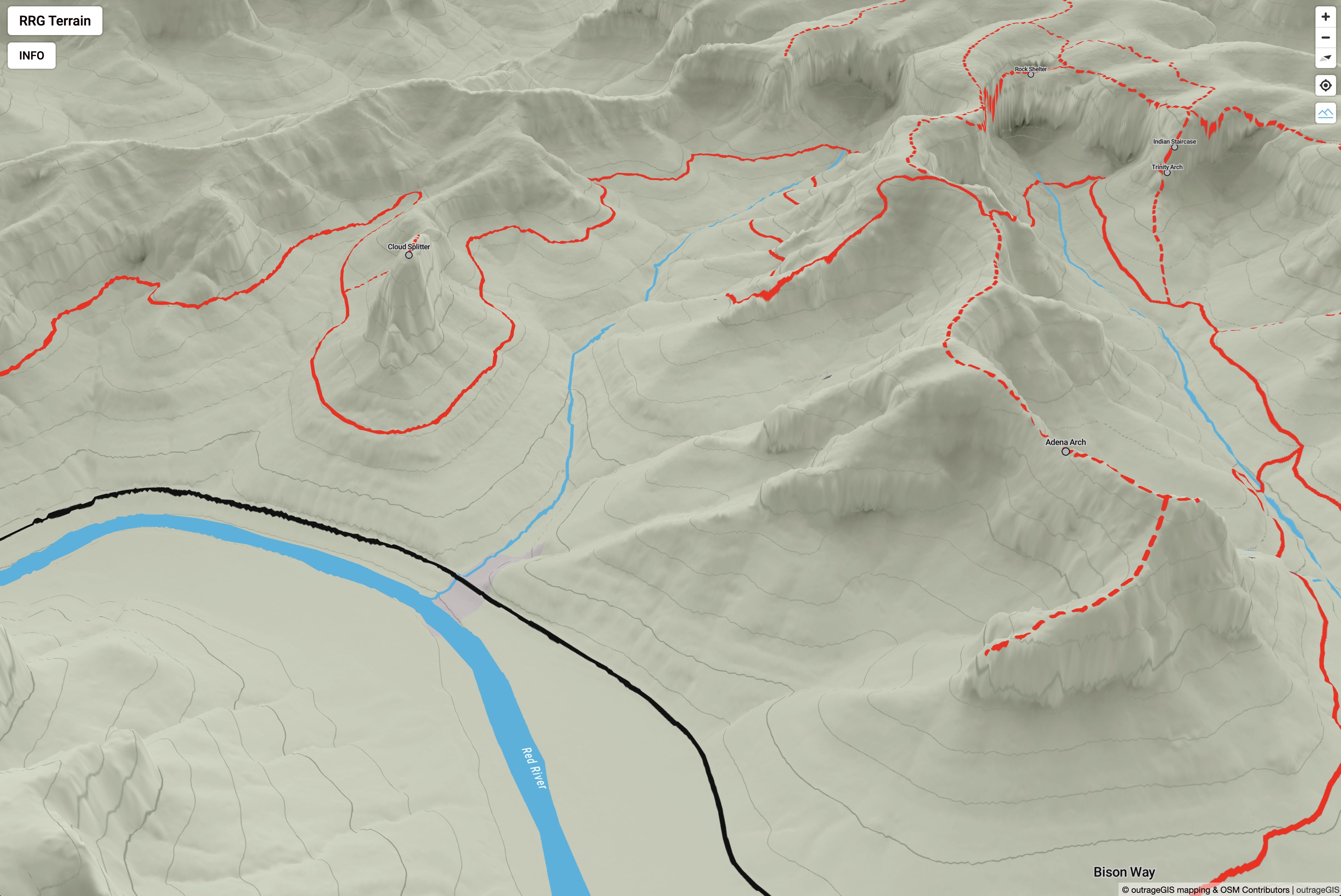 Explore with a Interactive 3D map
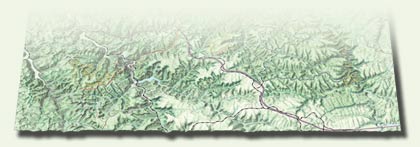 Explore with a Bird's Eye View
Recent Photographs & Maps