The Story
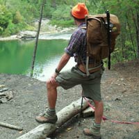
outrageGIS mapping began in 1997. Our trail maps are done 'on spec' and funded completely from map sales. We have GPS mapped thousands of park trails and have published numerous guides and maps for our Appalachian wilderness areas. We offer custom GPS, GIS, and cartographic services and operate a full printing studio for offset, oversized maps and small book publishing.
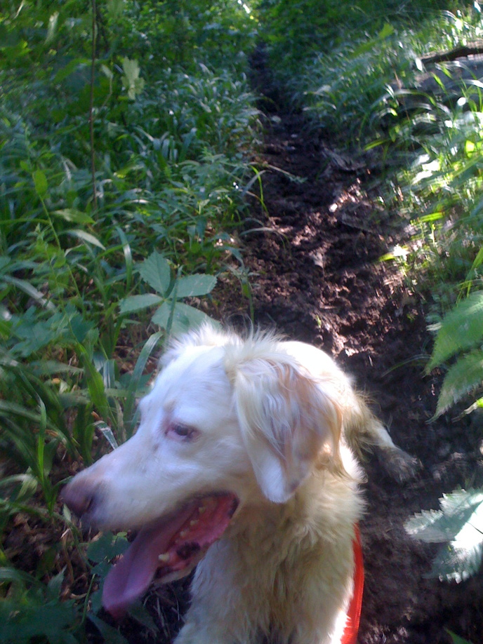
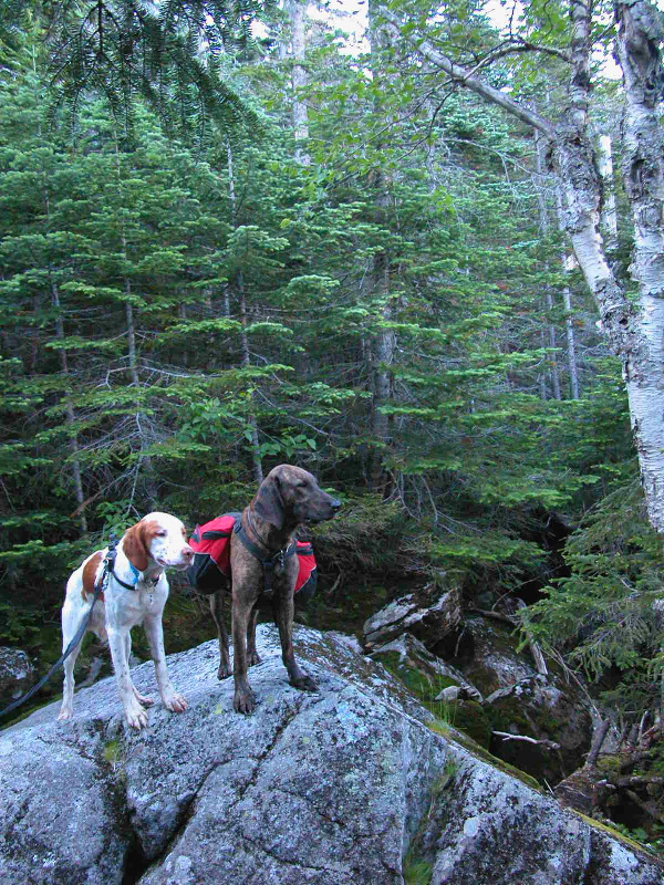
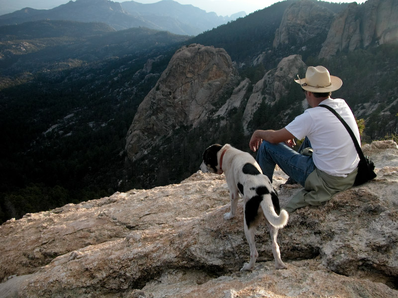
We actively promote the development of hiking and multi-use trails in the Bluegrass and beyond. Our parks are scenic and historical treasures so we must leave no trace when we enjoy them. We'll help you get safely lost in nature, because it is on the trail, in exploration beyond a cell tower, do we find ourselves.
The Map
- A map is an artistic rendering of Earth.
- A map is a measurement of our use, expectations, and hazards of our environment.
- A map is a tool for remembering the familiar and navigating the unknown.
- A cartographer renders earth in maps.
Any man that walks the mead
In bud, or blade, or bloom, may find
A meaning suited to his mind.-Alfred Tennyson
We Can Make Your Map
We are an independent developer and publisher of map products for tourism, publishing, E911 services, search and rescue, natural resource management, and recreational uses. While we focus on public areas, we have made maps for a diverse range of clients and purposes. Contact us to discuss your project.
Selected List of Clients
Backpacker Magazine, Berea College, Filson Club, Kentucky Bar Association, Gyula Pauer Center for Cartography & GIS, U.S. National Park Service, U.S. National Forest Service, WKYT, Sportvision, Dos Vatos Productions, Kentucky Rails-to-Trails, Dry Stone Conservancy, The National Park Conservation Association, and the Southern and Eastern Kentucky Tourism Development Association (SEKTDA).
 Boyd launched outrageGIS.com in 1999 while working as a cartographer for the University of Kentucky Appalachian Center, where he mapped the social, environmental, and economic conditions of Appalachia. Boyd is a
 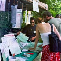 John operates and manages outrageGIS mapping's offset print studio. As a long-time manager of various print shops, he understands production from layout to pre-press to finishing. When he's not printing, he is chef and caterer extraordinaire.
 Katie brings a vibrant background in strategic marketing, project management, and a passion for connecting people with outrageGIS mapping's exceptional trail maps. Katie's former position as 'engine room' on her rowing team powers her determination to get our trail maps into your hands so you can fully enjoy the trails we all love.