
|
Big South Fork Trail Guide |
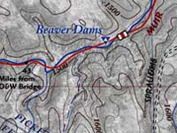
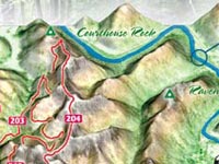
Big South Fork 3D Map |
 |
|
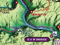
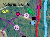
Veteran's Park Mountain Biking Trail Map |
Hatfield and McCoy Feud Audio Driving Tour |
 |
|
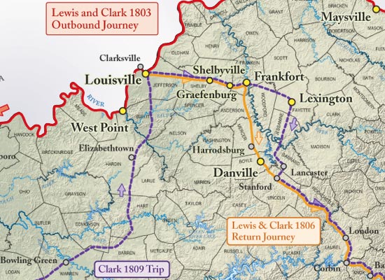
Lewis and Clark through Kentucky |
Red River Gorge 3D Map |
 |
|
Joggers'
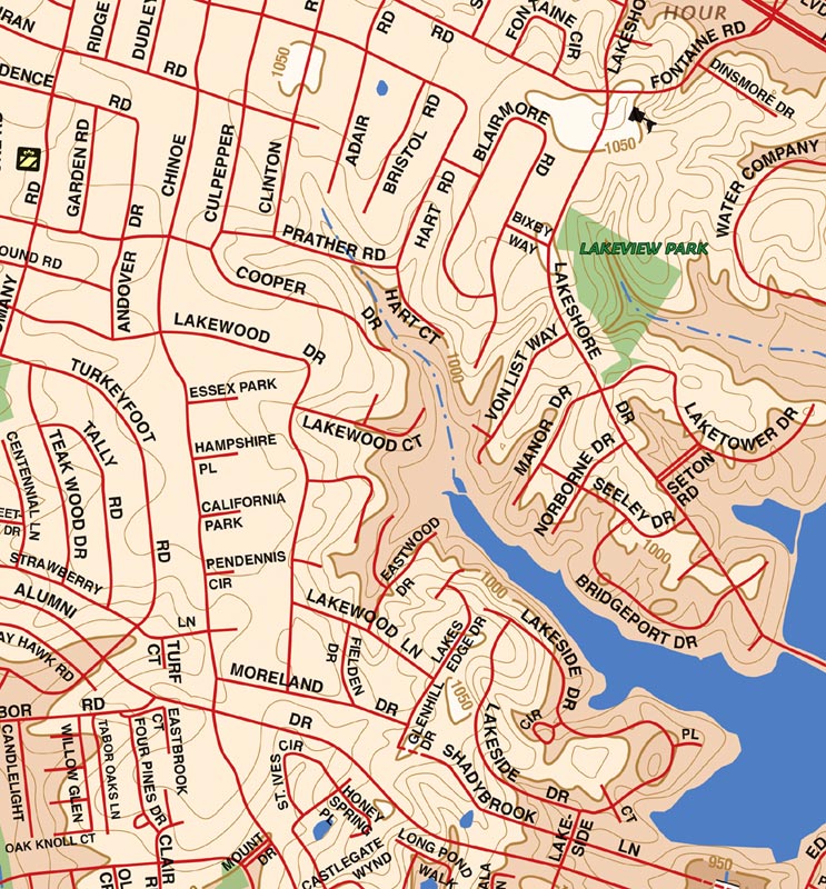
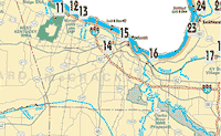
Street Atlas, Southeastern Lexington |
Historic
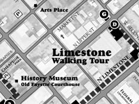
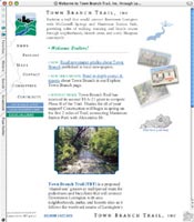
Lexington Walking Tour |
 |
|
Jefferson
County Memorial Forest Trail Guide |
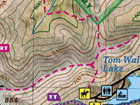
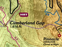
Cumberland Gap National Historical Park |
 |
|
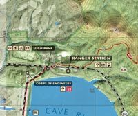
Cave Run Lake Trail Guide We have 90 miles of GPS single track trail in this rugged knobby park. We have a target release of Memorial Day 2003. Cave Run Lake is in the Morehead Ranger District of the Daniel Boone National Forest. SAMPLES AND PURCHASE |
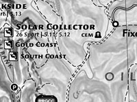
Red
River Gorge Sports Guide |
 |
|
|
Pixel's
Travels Photo Gallery Photo: Pixel on Hanson's Point |
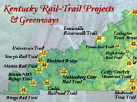
Kentucky Rail-Trail Projects Interactive Map |
 |
|
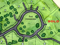
McAtee Run Interactive Site Plan Map |
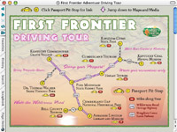
The
First Frontier Adventure Driving Tour |
 |
|
At
Leisure's Edge: a journey through Kentucky's
historic black parks A one-hour documentary that explores historic public parks in Kentucky. Parks include Douglass Park, Chickasaw Park, and the only state-resort park open to blacks during segregation, Cherokee State Resort Park. WEBSITE |

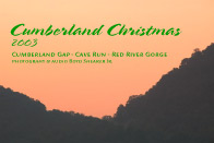
Cumberland Christmas Movie | 10min 7meg Quicktime Watch this collection of photographs shot in 2003 that shows the beauty of Cumberland Gap NHP, Cave Run Lake USFS, and The Red River Gorge USFS. These areas are covered by our popular trail guides. Audio from Kentucky musicians and interviews accompanies the show. |
 |
|
|
|
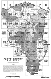
Floyd
County E911 Mapbook |
 |
|
|
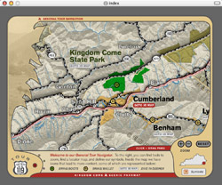
Kingdom
Come Scenic Parkway Map Viewer. Use
this interactive Flash map to find your favorite tour destination. Loaded with
links to secluded mountain destinations. View
Site: 1m.
|
|
Elkhorn
City Living Cemetery Project |
 |
|
|
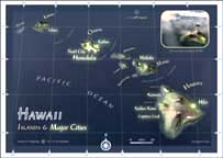
2002
Hawaii Ironman Course Maps. OutrageGIS
mapping has built course map data for the 2002 Hawaii Ironman Championship.
Flash™ View
Site: 200K.
|
|
Red
River Gorge National Geological Area |
 |
|
First
Frontier Slide Show Movie | 15min
12meg Quicktime |

|
|
Kentucky's
Official Boating and Fishing Access Sites Website. GO THERE |
|
|
Kingdom
Come Scenic Parkway Adventure Guide
An 8-page full-color map book with CD-ROM for vacationing in Kentucky's Cumberland Mountains. WEBSITE |

|
US
Population Growth, 1790-1990 |
 |