Current Forecast
Latest update:
3:45pm Fri, Feb 27, 2026 - http://www.outrageGIS.com
Current webcams

North Daniel Boone traffic webcam from the I-64 in Rowan County.

Central Daniel Boone traffic webcam from the Mountain Parkway in Wolfe County.

South Daniel Boone traffic webcam from the I-75 in Whitley County.
Current Satellite Imagery
Enlarge
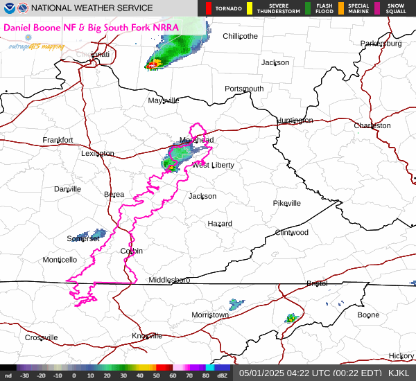
Daniel Boone Doppler Radar
Enlarge | Animate | radar.weather.gov

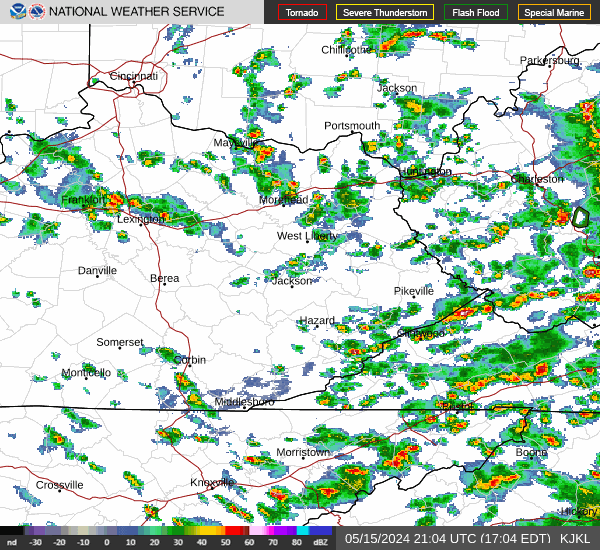
Current regional Radar
Enlarge | Animate
Current Watches & Warnings
Enlarge | Daniel Boone Weather
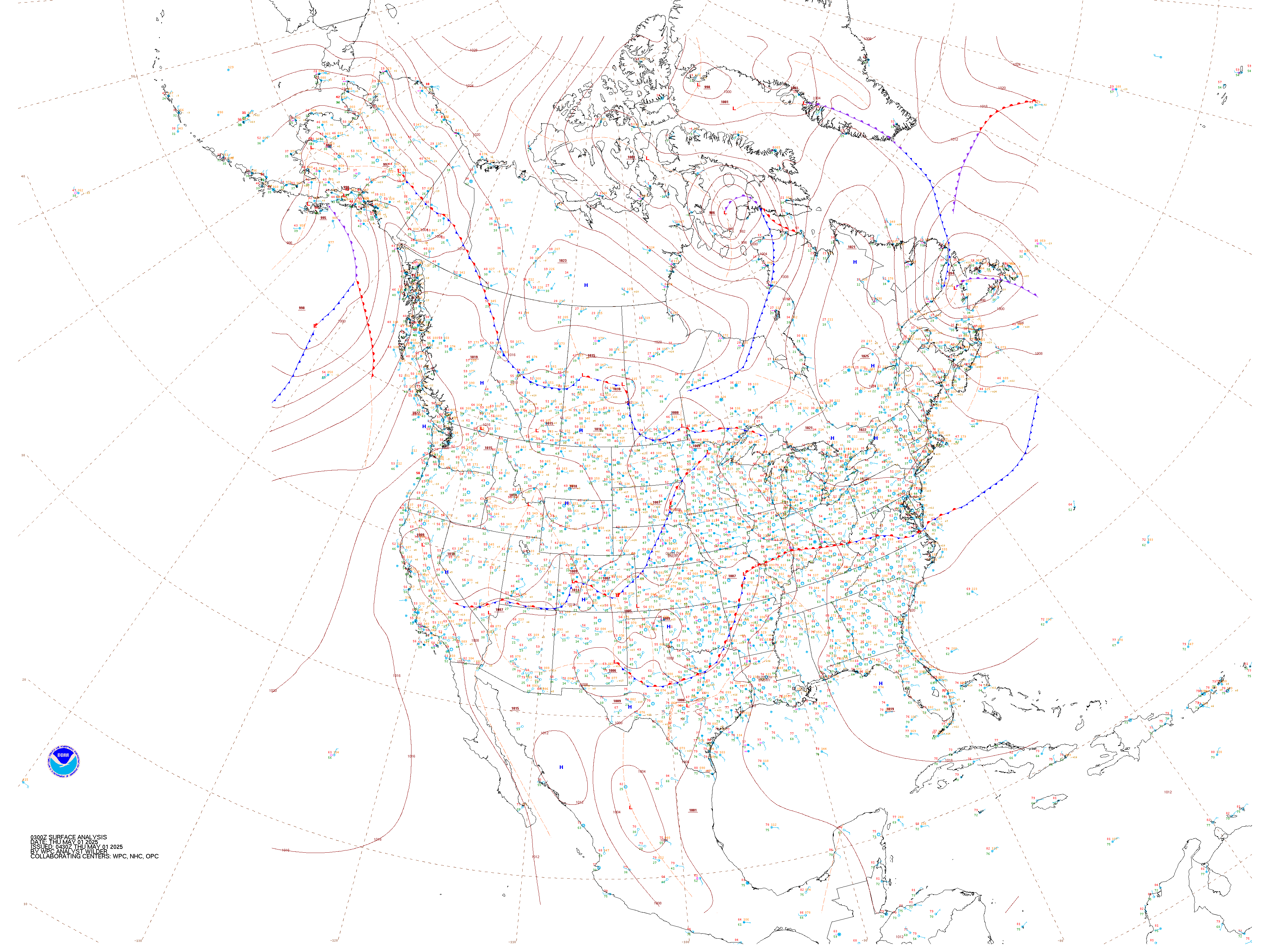
Current Surface Weather Observations
Enlarge
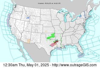
Recent Photographs & Maps
Current weather and animations

Live weather stations for the Great Smokies NP and Daniel Boone NF...