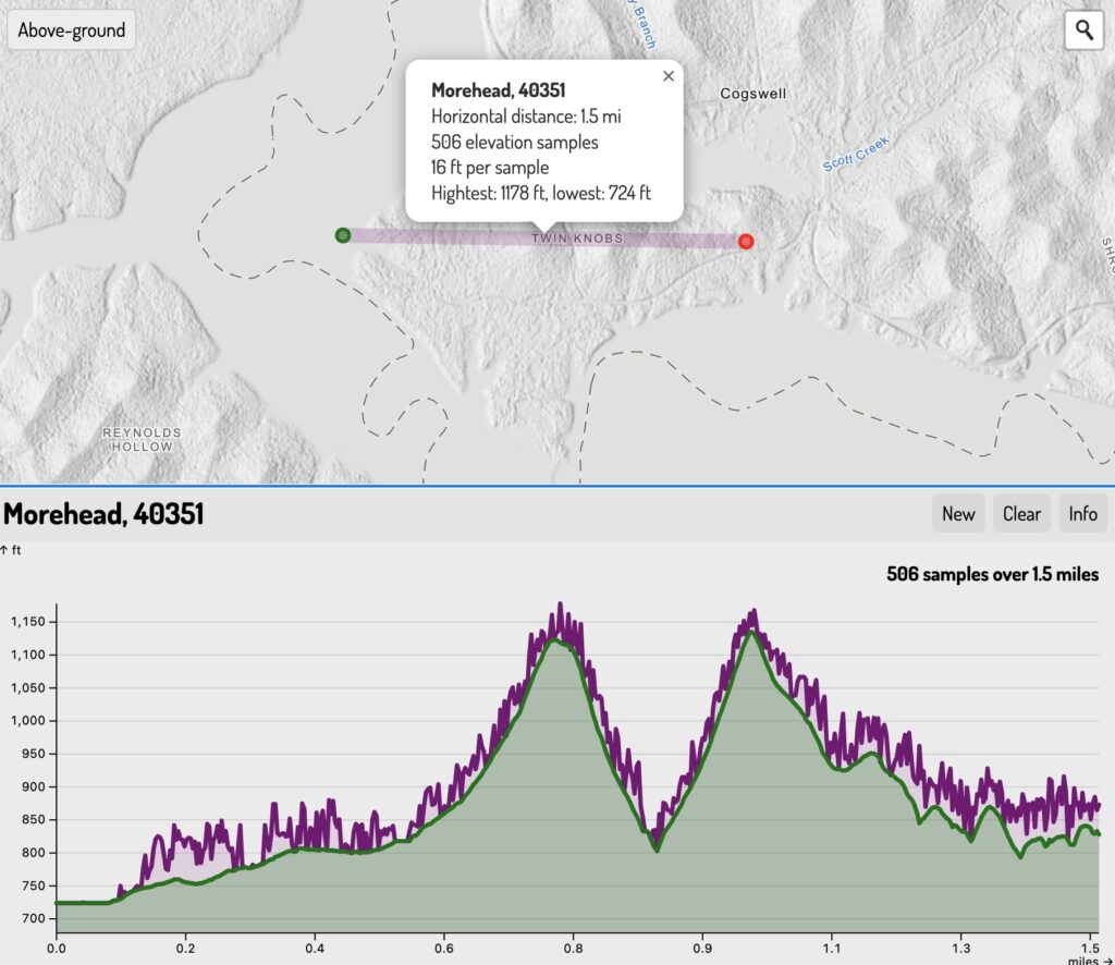
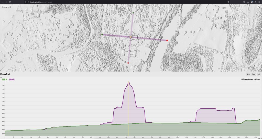
Kentucky has multiple statewide elevation layers derived from lidar point clouds. KyFromAbove Phase 1 lidar has both a 5-foot resolution ground (bare-earth) and above-ground (trees and buildings) elevation models hosted as open raster data.
We can query these layers to find ground and surface feature elevations at specific locations, such as along a line. These elevation profiles are useful in urban planning, environmental studies, and infrastructure development.
Create elevation profiles and save the data as JSON.
Below are a screenshots from the web page.


Creating multiple profiles at Laurel Lake

Downloading them as JSON for use in other applications


Speak Your Mind
You must be logged in to post a comment.