Area Forecasts
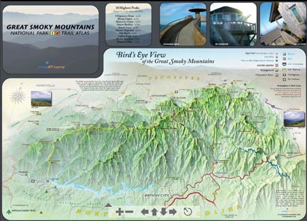
Forecasts Parkwide
National Weather Service Forecast Office
Morristown, Tennessee
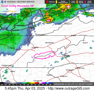
The office issues watches, warnings, & adversories.Official forecasts. Clickable map to 7-day point forecasts which considers elevation in the prediction.
Climate & Past Observations
Past Observations: Yesterday's precipitation and temperature
24-hour observations for 5 locations in national park (ending early this morning, approximately 7:30A.M., EST). Gives high & low temperatures, precipitation, and snow depth in INCHES for Sugarland Center, Newfound Gap, Cades Cove, Oconaluftee, & Mt. LeConte.
STATION                      HIGH  LOW    PCPN    SNOW   SNOW DEPTH
GTLT1: Sugarland Center    :  89 /  67 /  0.00 /   0.0 /    0
NFGT1: Newfound Gap, TN    :  80 /  64 /  0.00 /   0.0 /    0
TNST1: Cades Cove          :  87 /  70 /  0.02 /   0.0 /    0
MTLT1: Mount LeConte       :  71 /  52 /  0.00 /   0.0 /    0
CRKN7: Oconaluftee         :   M /   M /     M /     M /    M
Monthly graph of temperature & precipition averages
1971-2001 climate data: Gatlinburg | Cataloochee
Official park weather page for good climate description
National Park News & Friendly Feeds
16 Jun 2025 at 3:00am
The National Park Service will close Abrams Falls Trail and trailhead parking lot in Great Smoky Mountains National Park from June 16 through June 18 to allow crews to complete trail maintenance. Visitors will not be able to access the falls from any trail during this closure. https://www.nps.gov/grsm/learn/news/abrams-falls-trail-closed-for-trail-maintenance-june-16-18.htm
30 May 2025 at 10:19am
The National Park Service will complete important maintenance along popular roads in Great Smoky Mountains National Park this June. This will require temporary partial closures of Little River Road and single-lane closures along the Spur to allow park staff to safely and efficiently complete this work. https://www.nps.gov/grsm/learn/news/spring-road-maintenance-planned-in-great-smoky-mountains-national-park.htm
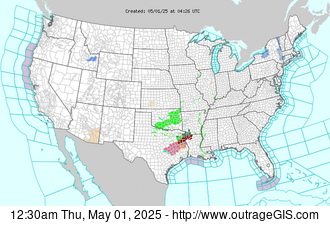
Main road status updates for the Great Smoky Mountains NP. Includes Newfound Gap Road (US 441), Little River Road, Laurel Creek Road, and Cades Cove Loop Road. From the National Park Service.
Smoky Mountains National Park Official Nonprofit Partner Of Great Smoky Mountains National Park Since 1953. Cades Cove. Free photos, trip planning.
The Great Smoky Mountains National Park is America’s playground getting more than 9 million visitors a year who hike, bike, fish, camp and go horseback riding.
At 6,593 ft. elevation, Mt. LeConte is the 3rd highest peak in the Great Smoky Mountains National Park & LeConte Lodge is located near the summit at 6,360 ft.
 Winds are West at 4.6 MPH (4 KT).
The pressure is 29.90 and the humidity is 82%.
The heat index is 82.
Last Updated on Jul 1 2025, 4:53 pm EDT.
Winds are West at 4.6 MPH (4 KT).
The pressure is 29.90 and the humidity is 82%.
The heat index is 82.
Last Updated on Jul 1 2025, 4:53 pm EDT. Winds are South at 8.1 MPH (7 KT).
The pressure is 29.97 and the humidity is 70%.
The heat index is 88.
Last Updated on Jul 1 2025, 4:54 pm EDT.
Winds are South at 8.1 MPH (7 KT).
The pressure is 29.97 and the humidity is 70%.
The heat index is 88.
Last Updated on Jul 1 2025, 4:54 pm EDT.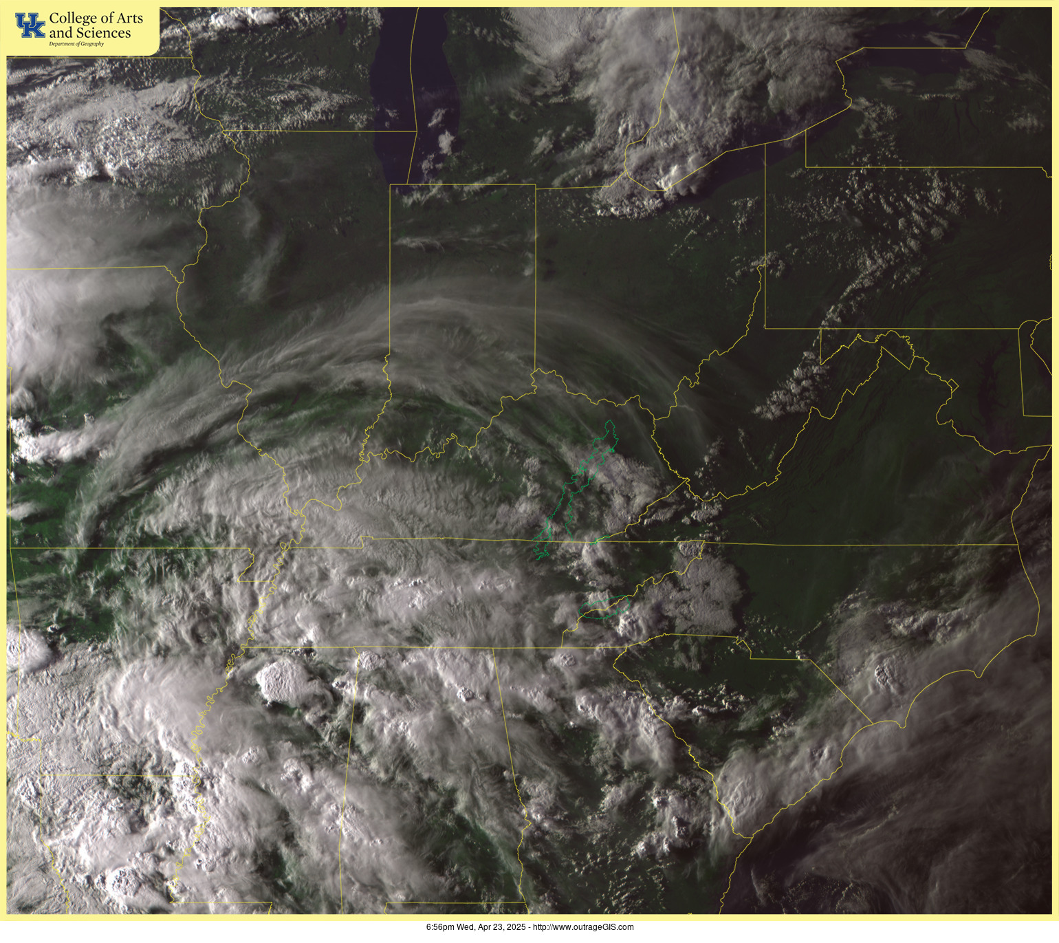


