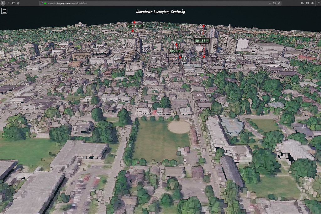
Lidar point cloud interactive visualization of downtown Lexington, Kentucky, and selected building heights. Visualization uses the Potree library, http://www.potree.org
Lidar point cloud interactive visualization of downtown Lexington, Kentucky, and selected building heights. Visualization uses the Potree library, http://www.potree.org


Speak Your Mind
You must be logged in to post a comment.