Spring Into Camping Season with FREE SHIPPING on Laminated Maps!

Spring weather is famously unpredictable, but your adventures shouldn’t be. Get maps that last. Our premium, laminated maps are made with a custom heat press for superior durability, guaranteeing they fold flat and stand up to any adventure.

To help you prepare for sudden downpours and muddy trails, we’re offering FREE SHIPPING on laminated map orders through May 31, 2026. Use code CAMP at checkout.

2026 Must-See Celestial Events

Peak camping season is officially here, and to help you plan your nights under the stars, we’ve mapped out key celestial events for the remainder of 2026. Below, you’ll find the perfect intersection of astronomical timing and trail-tested recommendations for your next overnight adventure. As always, bring a headlamp, carry your map, stay mindful of cliffs, and check the weather for clear skies before heading out.

March 20: Spring Equinox­
At the Spring Equinox, the sun rises and sets almost exactly due east and west.
Trail: Sky Bridge in the Red River Gorge
Camping: Koomer Ridge Campground
April 22: Lyrid Meteor Shower­
The Lyrids are famous for bright “fireballs.” The moon will be a waxing crescent and set early, leaving a dark window for viewing.
Trail: Auxier Ridge in the Red River Gorge
Camping: Dispersed backcountry camping near Pants Grip Point. Make sure to follow all park regulations.
May 31: Blue Moon­
Since May starts and ends with a full moon, the Blue Moon is your best chance for a classic moonlit sandstone hike.
Trail: Rough Trail in the Red River Gorge
June 15: Peak Milky Way­
Mid-June offers the longest window to see the galactic center with the new moon.
Trail: Honey Creek Loop in the Big South Fork NRRA
Camping: Picket State Park Campground is in an official “International Dark Sky Park.” 
July 29–30: Delta Aquariid Meteor Shower­
The Southern Delta Aquariid Meteor shower will produce a steady of dozens of faint meteors each hour under dark skies.
Trail: Rock Bridge Trail in the Red River Gorge
Camping: Dispersed camping near Rock Bridge Recreation Area
August 11–13: Perseid Meteor Shower­
This is the gold standard of meteor showers, producing 30–50 meteors per hour. 2026 is a perfect year because of a New Moon, so the sky will be as dark as possible. 
Trail: Yahoo Falls in the Big South Fork NRRA
Camping: Alum Ford Campground
September 25–27: Harvest Moon­
The Harvest Moon stays bright for several nights in a row, traditionally helping “hunters” navigate the woods, and it’s great for night hiking. 
Trail: Ridge Trail to Pinnacle Overlook in the Cumberland Gap NHP
Camping: Gibson Gap Backcountry Campsite
October 21–22Orionid Meteor Shower ­
These meteors are fragments of Halley’s Comet. They are known for being fast and leaving glowing “trains.” 
Trail: Hensley Settlement in the Cumberland Gap NHP
Camping: Martins Fork Backcountry Campsite
November 16–17Leonid Meteor Shower­
Historically famous for meteor storms, the Leonids usually produce fast bright meteors with occasional fireballs.  
Trail: John Muir Trail toward Laurel Fork Creek in the Big South Fork NRRA
Camping: Station Camp Campground
December 13–14Geminid Meteor Shower­
The Geminids are one of the most spectacular meteor showers can produce over 100 meteors per hour from debris of asteroid 3200 Phaethon. 
Trail: Sheltowee Trace north of Cave Run Lake
Camping: Clear Creek Campground

Happy New Year!

Another year stretches ahead, and with it, another chance to explore Appalachia. The trails shift dramatically with each season, offering new reasons to lace up your boots throughout the year. Spring wildflowers emerge from forest floors. Summer brings waterfalls at their coolest. Fall delivers brilliant reds and golds stretching between overlooks. Winter strips everything down to rock and sky, opening up expansive views.

The best adventures aren’t random; they’re timed. Catching peak wildflower bloom. Hitting the trail before summer crowds. Standing at cliff’s edge when fall color is at its peak. These are the moments that become your stories. Make 2026 a year of those moments. Pick your trails, mark your calendar, and hike out when the seasons deliver.

Our favorite hikes from 2025? Spring trails in the Red where mountain laurel blooms surrounded the trails, cool weather held, and sunshine lit up the forest. Those days reminded us what exists beyond the everyday—wilderness that pulls you out of your routine and shows you raw, natural beauty. We can’t wait to see it again in 2026.

Here’s to another year of memories on the trail. Happy New Year!

2025 Winter Map Sale!

Skip the gift cards this season and gift the hikers, climbers, and explorers on your list something they’ll actually use…again and again. Check out our Winter Sale map deals and give the spirit of real adventure. Because the best gifts aren’t just opened—they’re experienced.

Coupons and offers cannot be applied to prior purchases. Valid on or before 11:59 EST Decebmer 31, 2025. TEE30 valid on up to two tees. Free Cumberland Gap map is not laminated. Other exclusions may apply. 

The Red River Gorge Trail Tee Is Back!

Our Red River Gorge Trail Tee is the ultimate conversation starter and functional wearable. We brought it back by popular demand so you can now get the shirt that fellow hikers have literally tried to buy right off our backs.

This is the perfect gift for adventurers, climbers, or anyone who’s tried to explain why you’d drive for hours just to walk in the woods. Currently available in very limited quantities!

detail of RRG t-shirt
Detail

Phase 3 oblique photograph explorer

KyFromAbove released Phase 3 aerial photography, including oblique imagery, in Spring 2025. The images are available to download and are open data. However, finding the right set of images to download might be a task.

This viewer allows you to zoom in and see the available images for each exposure point, which takes 5 images: one nadir and four at cardinal directions. With 885,789 exposures, that’s over 4.4 million images, which range between 40 MB and 100 MB at roughly 10k x 15k pixels per image.

You can interactively search and download them through this website:

boydx.github.io/phase-3-oblique-centroids

You can interactively

  • toggle between oblique image centroids and exposure points (the paper airplane symbol),
  • discover the cardinal direction of each exposure,
  • place approximate frame extents for each selected oblique centroid,
  • interactively download full-resolution images, and
  • download a GeoJSON of these polygons with metadata in its attributes.

The oblique images are hosted as TIFFs on a KyFromAbove AWS S3 bucket and can be previewed on mobile devices using modern browsers.

Below are some screenshots of the viewer and oblique images.

Oblique of Frankfort Oblique of Frankfort

Viewer interface Viewer interface

Viewer interface Viewer interface

Viewer interface Viewer interface

Oblique of Laurel Lake Oblique of Laurel Lake

Search by flight and shot ID Search by flight and shot ID

Attributes of image footprint centroid Attributes of image footprint centroid

Change in surface height explorer

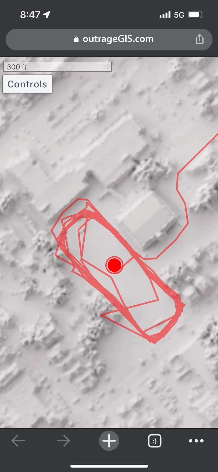
Can we detect changes in surface height over time, at a neighborhood scale? The changes in heights represent the loss and growth of trees, buildings, and other features of the built environment.

KyFromAbove has multiple phases of lidar point clouds for Kentucky as open data. In this interactive map of Lexington, Kentucky (inside New Circle), we demonstrate how to visualize and explore these changes in surface height between 2010 (Phase 1) and 2019 (Phase 2) lidar point clouds.

While most point clouds are colorized by aerial photography to give a realistic view of the surface, this project uses a different approach. Points are colorized by the amount of change in surface height between the two phases. The color scale is from red (decrease in height) to blue (increase in height). Both phases are shown simultaneously with the ability to toggle the visibility of each phase.

View the interactive Potree scene viewer (which is VR-enabled) through this website:

contig.us/hawaii/lex-change

Below are some screenshots of the viewer focused on Kentucky Proud Park at the University of Kentucky campus.

Phase 1 decrease in height Phase 1 decrease in height

Phase 2 increase in height Phase 2 increase in height

Phases combined Phases combined

Phase 2 colorized with aerial photography Phase 2 colorized with aerial photography

KyFromAbove Data Explorer

KyFromAbove has three phases of collecting high-resolution aerial imagery and elevation data. Over the last few weeks, we have made a four browser apps with MapLibre GL JS, Leaflet, and Esri JavaScript APIs that allow users to visualize and interact with the data from each phase. This page provides links to the apps:

boydx.github.io/kyfromabove

KyFromAbove Data Explorer KyFromAbove Data Explorer

Down arrow?

When you encounter a trail navigation sign, you understand left, right, and forward. But, does down mean back? This eight-year-old said yes and quizzed me on it at Berea Fort Mountain.

What arrow is being covered?

gis.uky.edu

The Department of Geography at the University of Kentucky has a new portal for information relevant to our mapping and GIS activities. It’s still in development but I thought that I’d share the site: https://gis.uky.edu

Portal for UKy Geography mapping & GIS: https://gis.uky.edu

Trail maps for the Salato Hiking Trail

How many times have you taken a photo with your phone of a trailhead kiosk map? Inside the mailbox were neatly folded paper maps made by the Kentucky Department of Fish and Wildlife.

Salato Hiking Trail
Trail maps for the Salato Hiking Trail

Mountain laurel in full bloom

We might be in peak mountain laurel bloom this May. We visited mile marker 77 on the Sheltowee Trace and found a riotous scene of white and pink flowers.

Mountain laurel on the Sheltowee Trace

RRG 3D terrain map

Interactive web maps have come a long way over the years. First we had slippy maps using raster tilesets – they’ve been around for about twenty years and are incredibly durable. However, once the tileset is rendered, it’s not easy to change the look of the raster image. You will need to render a new tileset and replace the old. Because a tileset can contain millions of images, it’s not a quick replacement.

Gaming technology evolved in the browser and brought us WebGL and vector tilesets. These tileset features have attributes and are rendered programatically in the browser. It’s rather easy to change the appearance of a feature and Mapbox built a browser application, Studio, to create endless styles of maps using vector features. What’s not easy is serving a vector tileset to a client until recently. Libraries like PMTiles bundle a vector tileset into a single file that expose the necessary to the client browser.

More recently, elevation (terrain) tilesets have made 3D maps more exciting to create and explore. Once an elevation is loaded, all other layers, tilesets, etc. are draped over elevation surface. Depending on the resolution of the elevation data, this surface can dramatically change the appearance of the map.

Using an open source mapping library like MapLibre GL JS, a browser can simultaneous consume raster, vector, and terrain tilesets to make a 3D map for any place you have data. Kentucky has excellent data availabilty including lidar data to make high-resolution elevation surfaces. This map uses that lidar data to create the terrain tileset and a shaded relief raster tileset. The vector tilesets for trails, roads, etc. are derived exclusively from OpenStreetMap. The water layers are from the USGS National Hydrological Dataset.

Below is a screen capture of the web page and a link. You might notice that it doesn’t have all of the trails that our printed maps show. We may add those trails in the future, because it would helpful for planning your trip. And, we’re not planning to move to an exclusive mobile app. With all of the advances in mobile technology, we think paper maps are still essential for learning basic navigation and map reading.

Screen Capture of map

The map can be loaded here: outrageGIS.com/gorge/map

Happy adventures!

A simple GPS tool for the phone

If you visit this site often, you likely have a favorite map app on your phone. I certainly do and I have installed dozens of apps over the years. Most focus on placing your location as a dot on the map.

The dot

Any map app that shows your location as a dot on the map fosters a dependence on your exact location. We end up saying, "I am here" instead of asking "Where am I?"

To build strong spatial awareness, we should look at the dot after studying the plain map and doing an exercise in terrain association. Can we orient the map (best done with a paper map, folks) so that map north aligns with observed north? Can we then identify features on the map and estimate their distance from us?

These are questions in topograhic map reading. If you carefully observe your environment and compare its representation on the map, you will not need the dot.

When there was no dot

Let’s say the early 1990s. Before that time, we used paper maps. Soon after, handheld GPS units became popular and only showed coordinates for your position and maybe some other location statistics like speed, elevation, distance & bearing to next waypoint. They were often used with a paper map that had a grid (with linear units on a flat space) or a graticule (angular units on a curved space) that helped a user measure their location.

Using coordinates, we looked at the paper map’s margin for marks that pointed you to a general location. To find the exact location, we looked up and asked, "Where am I?" and compared the map with what we saw. We built a mental map of our surroundings. There was no dot.

An app without a dot?

So, we thought we would kick it back to the 90s and make a browser app that mimics these early devices. Because our maps have detailed graticules and mile markers for the Sheltowee Trace, this app should compliment your journey into topography and map reading. This app is designed for mobile devices and below is a screen capture of a use on an iPhone.

Screen Capture of control panel

GPS app can be loaded here: https://outrageGIS.com/gps

This app is free, open source, doesn’t need to be installed, and won’t collect any information from you.

Happy adventures!

Experimenting with Geolocation API

We have a lot of great raster base map services available in Kentucky and I wanted to access them for my current location when I use my mobile device in the field. While there are many ways to make a mobile map, I wanted use Leaflet JS and build a custom geolocation service using the Geolocation API. Some desired features for the web page:

  • The interface should be just the map, with a single button to access the controls
  • Location services should record a track of previous locations with distance covered
  • Location coordinates should be averaged over a sample period to help with accuracy
  • Other information for the current location should be offered on the page, e.g., hourly weather forecasts.

Map cound found here: https://outrageGIS.com/location

The below screen capture shows the control panel for selecting base map and enabling the the location services. It also gratuitously adds content from the last three posts to this forum. (Practicing with Tailwind CSS for potential site redesign.)

Screen Capture of control panel

Please feel to add your comments and tell how it works on your mobile device. It has tested on Chrome and Safari mobile browsers.

Some caveats.

  • The tracking feature is tuned to walking. If you drive or bike, the track will more generalized the faster you travel.
  • Of course, you’ll need to enable location for the page :). I promise that nothing is used or saved from your session. This is a completely client-side app.
  • If you refresh your browser, the page is reset and your track is lost. Working on a local database option to save the track.
  • This page requires an online connection. Working on an offline version, too.

Screen Capture of control panel Above is an screen capture of the Kentucky Topo map for the state. Other base maps include, lidar-derived surface models and current GOES-16 imagery.

Screen capture of mobile device Screen capture of track mapping on a mobile device

0

Your Cart