
 Big South Fork Map
Distance: 4.7 Miles round-trip from trailhead
Difficulty: ++
Scenic Views: ++++
Elevation Relief: 525ft ^
Ownership: Big South Fork, NPS
Google to trailhead & coordinates
| Big South Fork Trail Map |
 |
The Twin Arches loop is the benchmark trail for the Big South Fork. You’ll see not one, but two spectacular arches, hike under fine cliffline, visit two historic homesteads, collect numerous great photos, and to top it off, you can overnight at Charit Creek Lodge.
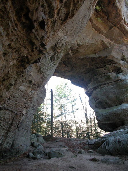 Twin Arches
The lodge offers two cabins, full meals, and hostel loding for the hiker or equestrian. Reservations are required. A great morning hike is to take 3.2-mile round-trip excursion to the Charit Creek Overlook.
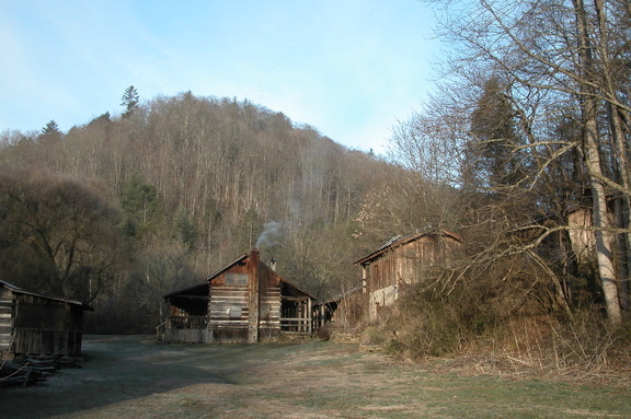 Charit Creek Lodge
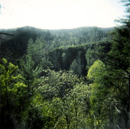 Rock Creek valley
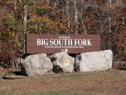 Entering Big South Fork country
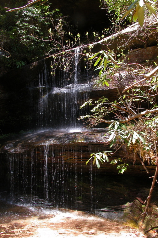 Crystal Falls


