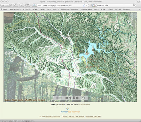
How about a 3D map of Cave run Lake? I’ve been playing around with creating one for the entire Sheltowee Trace, so I started with the northern terminus. Nothing too serious since the map really couldn’t be used with GPS, but something that shows the varied terrain through which the ST travels. This zoomify map shows the trail from the northern terminus and Corner Ridge. Map is not finished and not entirely labeled, but it shows the Sheltowee Trace pretty clearly. View Map
Cave Run Lake Bird’s Eye View
March 7, 2009 by


