Campus pedestrian network
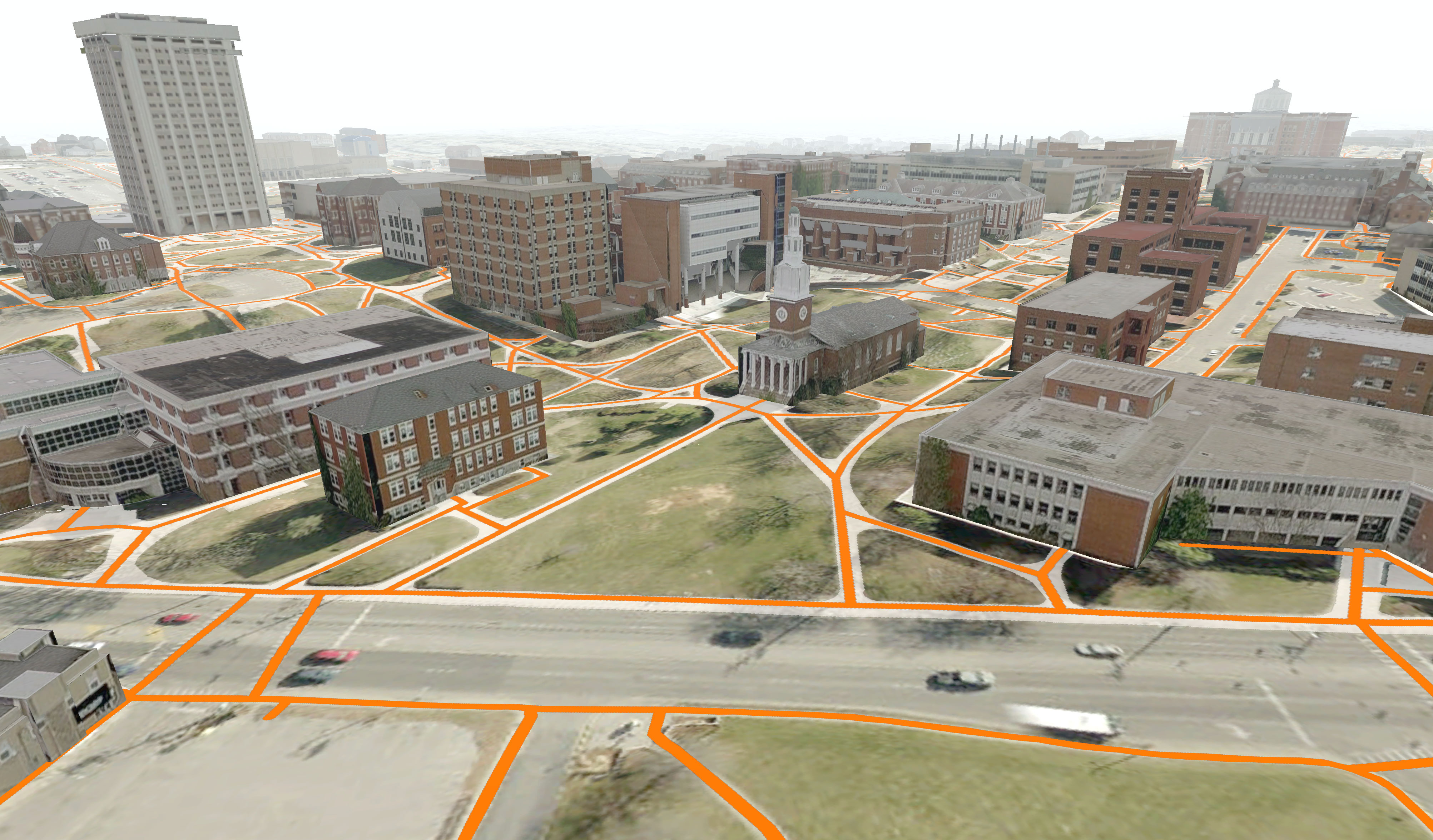
We’ve been visualizing campus paths with new GIS data provided by UK’s Facilities Information Services. Students have GPS mapped cut-through paths (they lovingly call cow paths) and other students have placed SketchUp models for campus town buildings. This is a preview of some of the data, so stay tuned for a featured analysis.


Leave a Reply