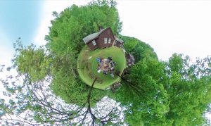
360 photography at camp
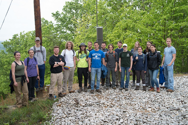
This is the third year teaching at the UK NRES (Natural Resources and Environmental Sciences) summer camp. This course was a one-day GPS and GIS exercise to map the interpretive trails around base camp. With seventeen undergraduates and their mobile devices, we split into two teams. One team focused on the trail network and GPS mapped trail alignment and intersections. A second team mapped points of interests and interpretive sites along the main hiking trail up to the fire tower.
We worked in the camp classroom with QGIS, the leading free and open source GIS software, to make all of our maps. We imported our GPS data as KML or GPX formatted text files, which we then edited in QGIS. We created a shaded relief base map from DEM data (using the Terrain plugin!) over which we laid the cleaned trail data. We finally exported a GeoTIFF which could be loaded on mobile devices and used to locate position without requiring a cellular data connection.
Link to interactive map (6 MB)
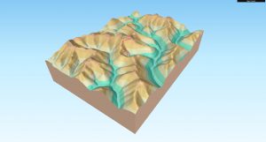
We also touched on how to make interactive 3D maps. QGIS offers one of the richest environments to experiment with GIS data. We introduced a plugin, qgis2threejs, that is perhaps the easiest method to make online 3d maps. Take a look!
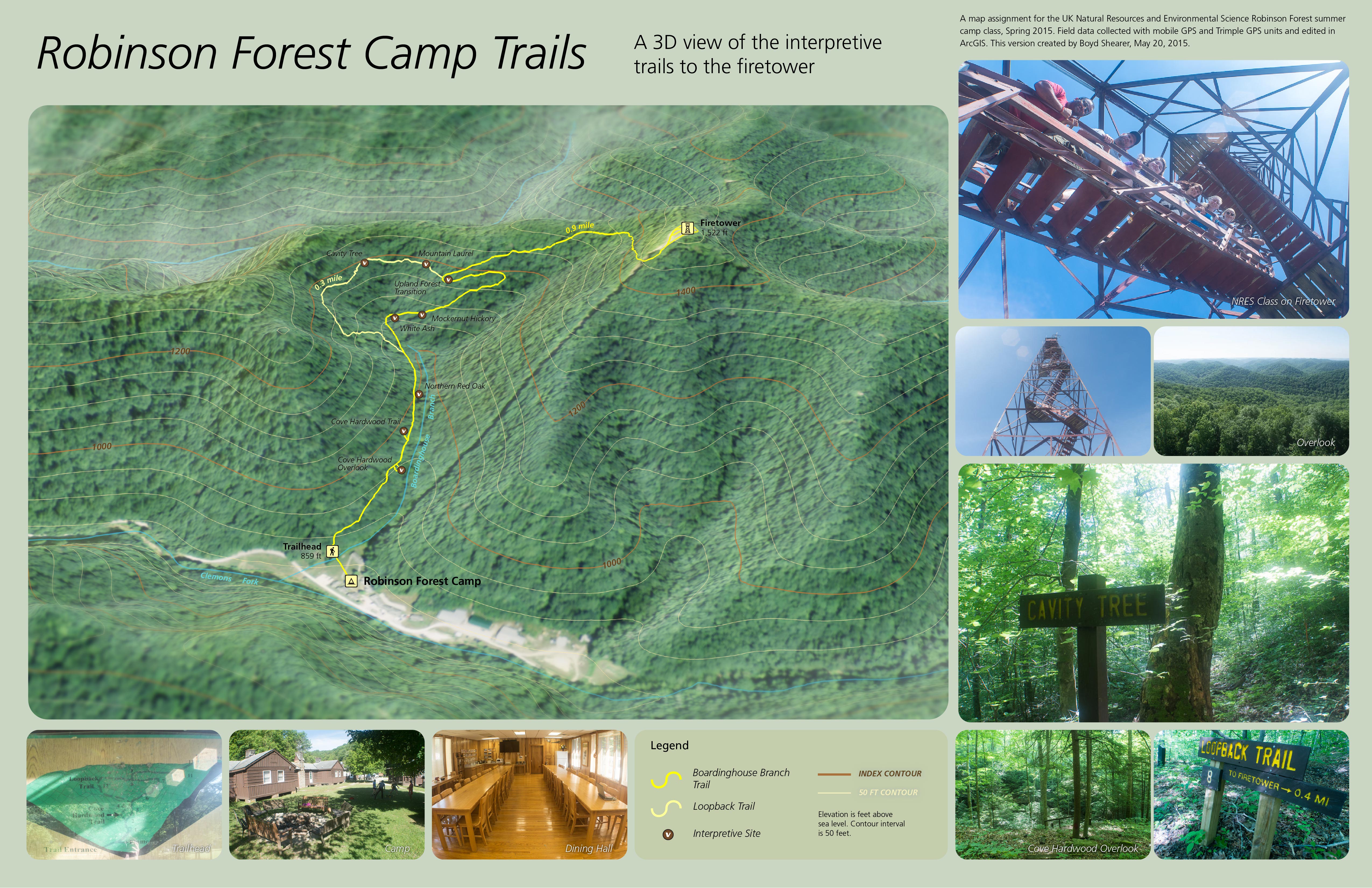
Robinson Forest Camp trail map
Last year, we GPS mapped the road to the fire tower. During the first year, we spent time making a static bird’s eye view of the main trail up to the fire tower. Since the first year, some students have asked about updating the map in the trailhead kiosk. It is a block diagram of the trail and its style is dated. This year, we discovered that theqgis2threejs QGIS plugin can make similar block diagrams. Maybe one year we can get one of these maps in the kiosk!
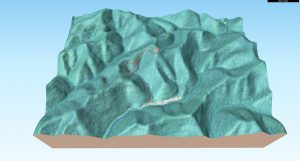
3D map with 2014 aerial photography (25 MB)


Speak Your Mind
You must be logged in to post a comment.