Gap weather page using Dark Sky weather data
We’ve updated our Cumberland Gap National Historical Park weather station! With the release of our 2017 trail map for the Gap, we decided to go in a new direction for our weather station. Our stations for the Daniel Boone and Great Smokies pull data and images from the National Weather Service. We then use ImageMagick and other UNIX utilities to process the data. It is kinda old-school, but it has worked well for years.
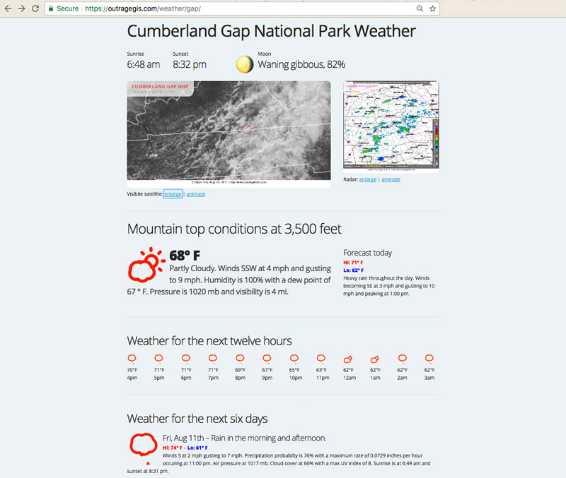
With the Gap weather station, we decided to go with the Dark Sky team. They made a big impact a few years ago with their weather maps so we decided to try their extremely detailed point location forecast data.Their API is well documented and we use mostly Javascript to build the weather page. We focused on weather conditions at the top of the mountain since the park has over 2000 vertical feet of elevation relief. We couldn’t the same detail from the NWS. As we explore the mountains we’ll compare the relative advantages of both of these data sources.
You can find the mountain top weather page here: https://outrageGIS.com/weather/gap


Speak Your Mind
You must be logged in to post a comment.