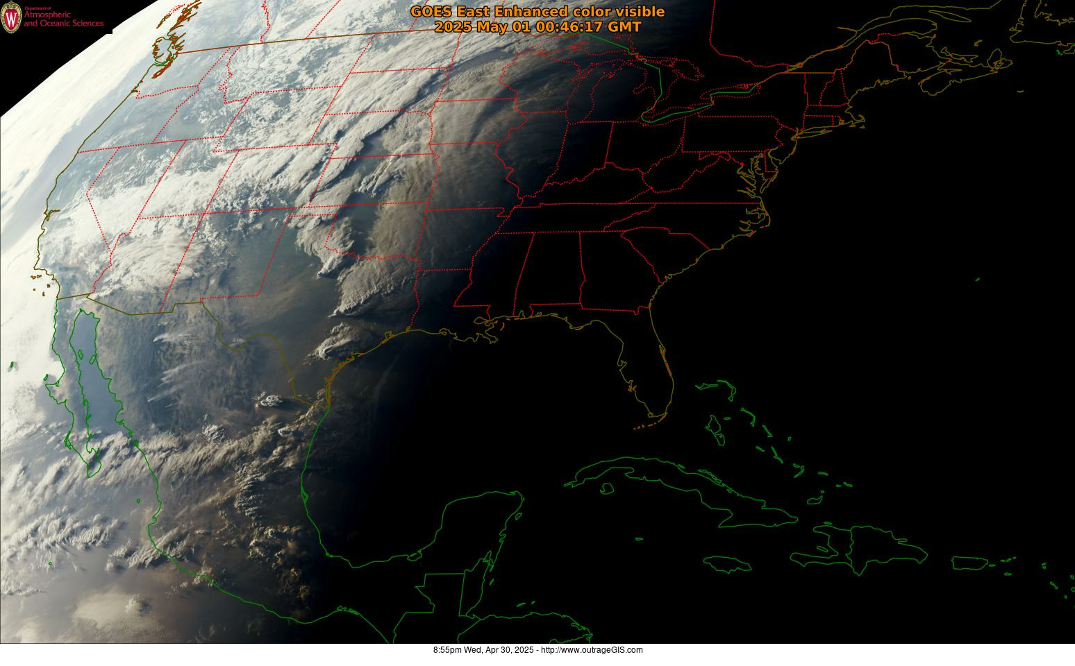
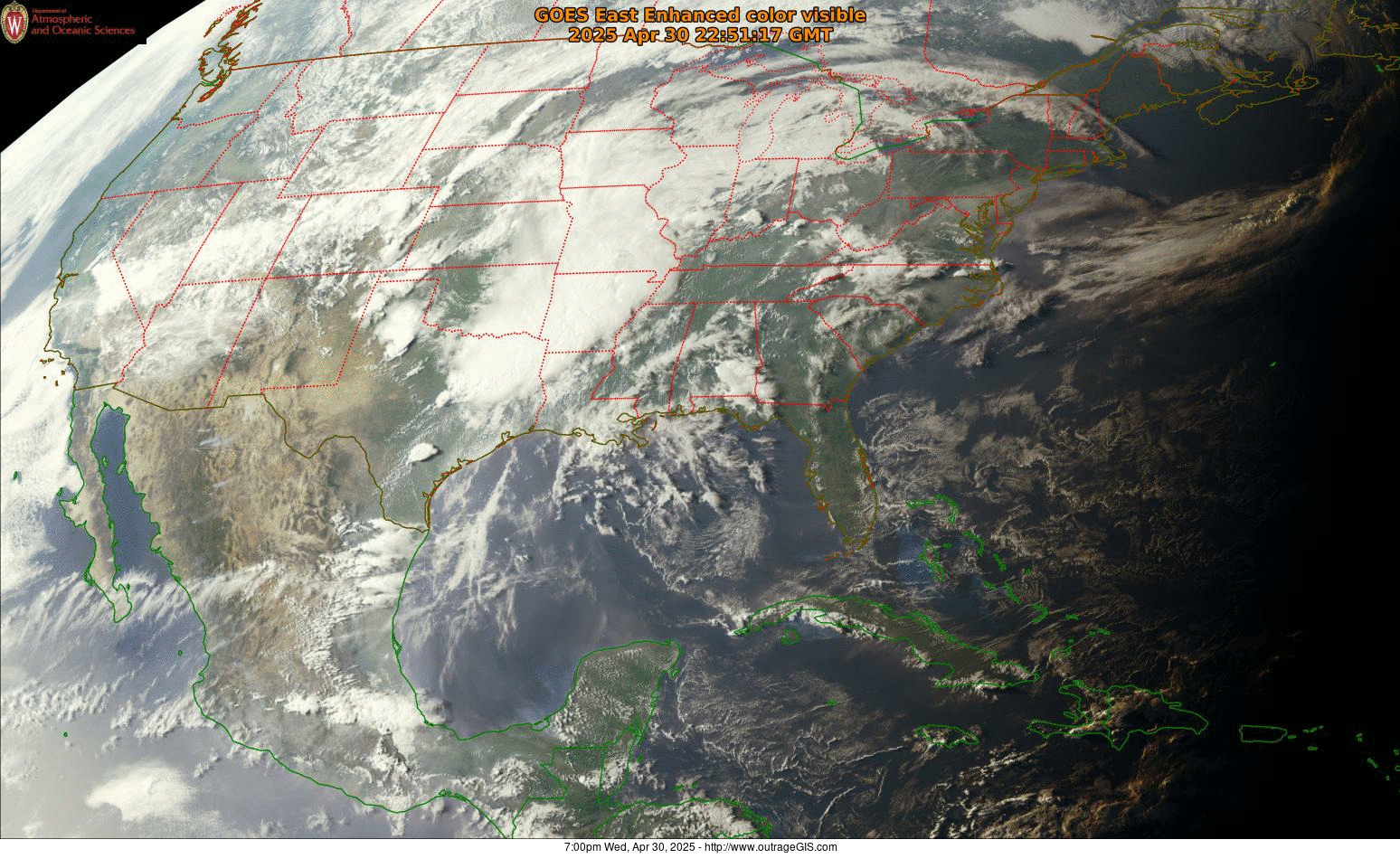
High-resolution weather imagery from GOES-16
This weather satellite captures 16 spectral bands with time resolutions as quick as every 30 seconds. The spatial resolution (the size of each pixel) is between 0.5 km and 2 km and the visible grayscale image for the continental US is 12,000 x 9,000 pixels and is collected every 5 minutes.
We wrote a series of crontab jobs to automate the processing of weather imagery to display on our website.
Real-time satellite image maps
- We have the current satellite image with our parks dropped on the map for reference:
outragegis.com/weather/goes16/current.jpg
(1,900 px x 1,932 px, ~900k) - Here is the recent two-hour time-lapse image:
outragegis.com/weather/goes16/animation.gif
(1,900 px x 1,932 px, ~40 MB) - Starting on September 4, we’ll create day-long time-lapse animations:
outragegis.com/weather/goes16/yesterday.gif
(1,900 px x 1,932 px, ~350 MB)


Speak Your Mind
You must be logged in to post a comment.