
Having fun with lidar
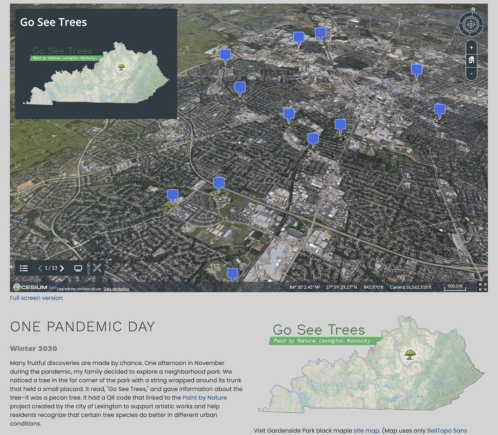
Lexington has a awesome fall event called, Paint by Nature, which encourages folks to create artwork around notable trees in the city. These trees aren’t necessarily the largest or showiest in their area, but are highly suitable plantings for their ecological settings.
While I didn’t make a submission, I did map the trees and used various lidar sources to visualize them. Visit this 3D visualization powered with Potree point cloud renderer. A growing list of similar visualizations can be found here.
Map of trees
Visit the trees in the Paint by Nature program on this page.


Speak Your Mind
You must be logged in to post a comment.