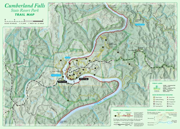
July draft of Cumberland Falls trail map
This July we have started a topographic trail map for the Cumberland Falls State Resort Park. The map will use aerial photography, 20-foot elevation contours, and GPS mapped trails. This two-sided 13.5″ x 19″ full-color map will show the entire park and connecting trails into the Daniel Boone NF, including Dog Slaughter Falls. This map is at 1:15,000 scale. The second map will zoom into the central area of the park and show trails at 1:5,000 scale. We anticipate this will be an awesome map, especially when used under a moonbow.


Speak Your Mind
You must be logged in to post a comment.