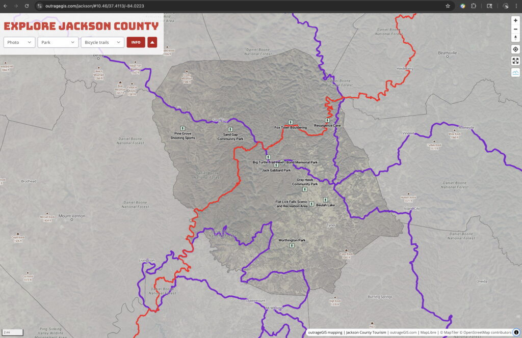
Using the latest KyFromAbove 3-inch resolution aerial photography from 2024, we can get comfortably lost on our backcountry adventures. The latest imagery from our state’s aerial mapping program is impressive and in line with previous releases: it’s comprehensive, authoritative, highly detailed, and open data. We have updated two projects with the latest base maps from KyFromAbove.


Speak Your Mind
You must be logged in to post a comment.