
 Red River Gorge Backpacking Map
Distance: 9.3 Miles loop
Difficulty: +++
Scenic Views: ++
Elevation Relief: 500ft ^^^^
Ownership: Daniel Boone National Forest, USFS
| Red River Gorge Backpacking Map: $14 |
 |
The Power Loop Hike…need more explanation? This favorite 9.25 mile loop has 4 ‘ups’ or creek-to-ridge ascents, which is 1800 feet of cumulative ‘up’ elevation change. If you finish it in 4 hours, you’re walking good; in 3 hours you’re marching; and in 2 hours you’re smokin’. About a 1/3 of the loop is on the Sheltowee Trace. This is one of the best loops in the Daniel Boone NF.
[Read more…]

 Red River Gorge Backpacking Map
 A hike from Gray’s Arch Trailhead to D. Boone Hut and Martin Fork. A large area of ferns can be found on near the crossing of Martin Fork and scenic overlooks offer limited views down the valley and across the valley to Tunnel Ridge Road.
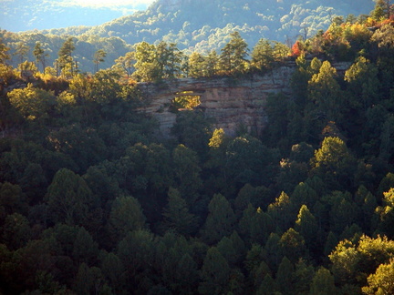 Double Arch
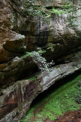
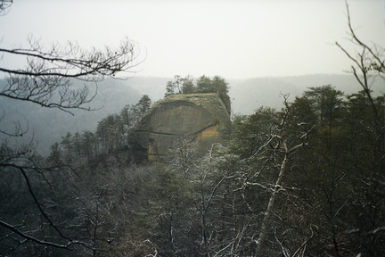 Courthouse Rock
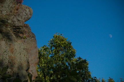 View of Tower Rock side with moon
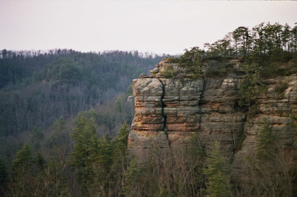 Chimney Top Rock
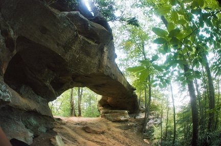 Princess Arch
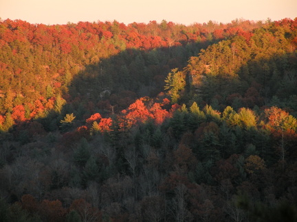 Overlook in fall
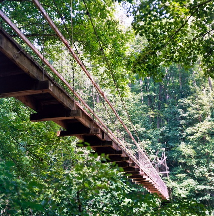 Suspension Bridge
 Gladie Welcome Center
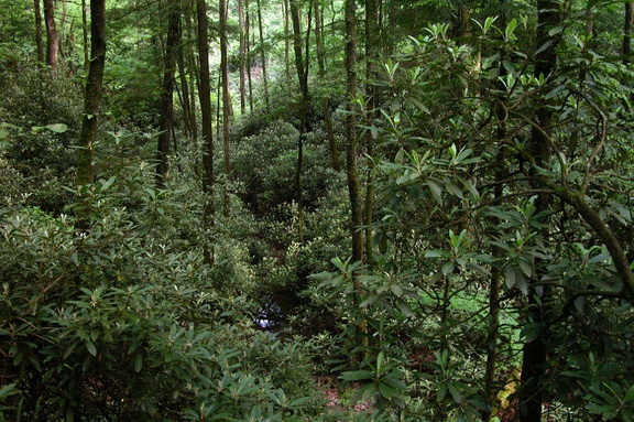 Rhododendron grove along Parched Corn Creek
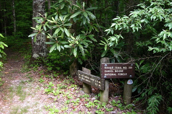 Junction of Rough and Swift Camp trails
 Don Juan’s Garden
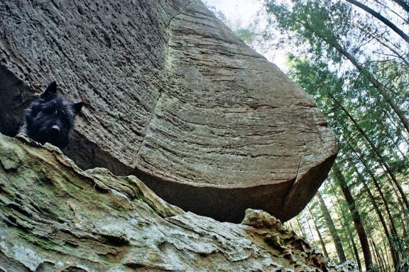 Wildcat Wall
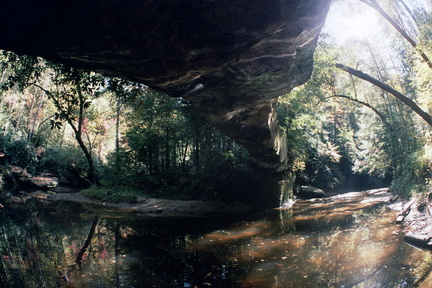 Rock Bridge
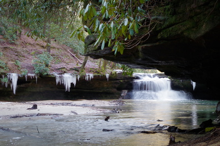 Creation Falls


