
 Red River Gorge Backpacking Map
Distance: 3.2 Miles loop trail
Difficulty: ++
Scenic Views: ++++
Elevation Relief: 400ft ^
Ownership: Daniel Boone National Forest, USFS
| Red River Gorge Backpacking Map: $14 |  |
 Double Arch
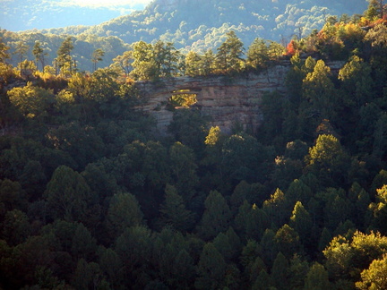
Auxier Ridge is one of the great hiking areas in the Red River Gorge. Hikers have two loop options here. First, you can hike out the Ridge on trail #204, passing some excellent scenic overlooks, and return on Trail #202, Courthouse Rock trail. The second option is to return by way off Auxier Branch Trail, #203, with a side trip to Double Arch. This second option uses the closed Tunnel Ridge Road to connect back to the trailhead.
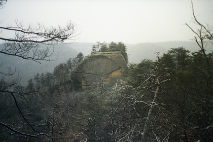 Courthouse Rock


Leave a Reply