
 Red River Gorge Backpacking Map
Distance: 5 Miles loop
Difficulty: ++
Scenic Views: +++
Elevation Relief: 300ft ^^
Ownership: Daniel Boone National Forest, USFS
| Red River Gorge Backpacking Map: $14 |  |
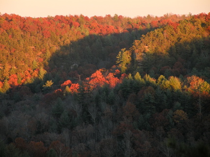 Overlook in fall
The Sheltowee Trace spans the entire length of the Daniel Boone National Forest and a portion of the Big South Fork in Tennessee. The section through the Red River Gorge is one of the most spectacular, with this short segment visiting some of the most impressive overlooks and challenging side trails. Indian Staircase is an unofficial trail that climbs up a steep set of cliff ledges and can be found on the printed map. Although this loop uses part of a paved road, hikers have a chance for a short walk to the Red River suspension footbridge, the longest in the forest.
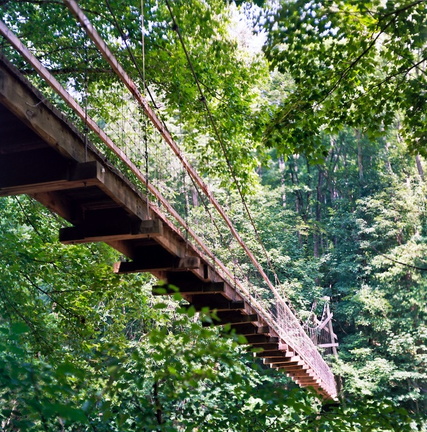 Suspension Bridge
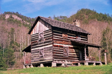 Gladie Welcome Center


Leave a Reply