Class mapping project
Web page for student maps
NRE 355, Introduction to Geospatial Applications for Land Analysis, is a class at the University of Kentucky (UK) that uses Geographic Information Systems (GIS) to study our environment. Every year NRE 355 constructs various maps centered around an environmental theme. Past themes have included Pilot Knob State Nature Preserve and Pine Mountain, both in Kentucky.
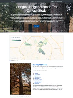
This semester our class focused on tree canopy coverage in specific neighborhood associations inside New Circle Road in Lexington, Kentucky to feature ecosystem services provided by urban tree canopy. We use ArcGIS software to process vector, raster, GPS, and lidar data that determines vegetation density, tree canopy coverage, and tree height. We publish GeoPDF and interactive maps that show our work.
This tree canopy study was conducted in several different neighborhoods within the area of New Circle Road in Lexington, Kentucky.
The neighborhoods involved were:
- Ashland
- Ashland Park
- Aylesford
- Cardinal Valley
- Castlewood
- Columbia Heights
- Martin Luther King
- North Limestone
- Northside
The neighborhood with the most tree canopy per acre was Ashland Park, while the lowest counted tree canopy per acre was in the MLK Neighborhood. The tallest tree was located in the Ashland Neighborhood, a spruce or tulip poplar measuring, with lidar technology, at 114 feet tall.
Visit the website: https://rvirto01.github.io/NRE355_Tree_canopy_study/
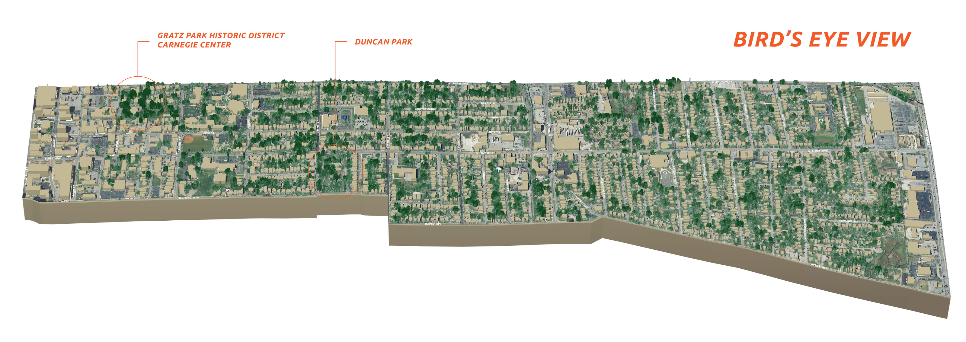
Bird’s eye view of the North Limestone Neighborhood Association showing tree heights relative to building heights


Speak Your Mind
You must be logged in to post a comment.