Description
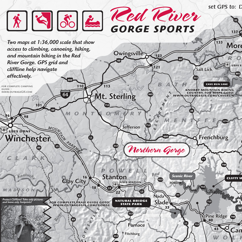
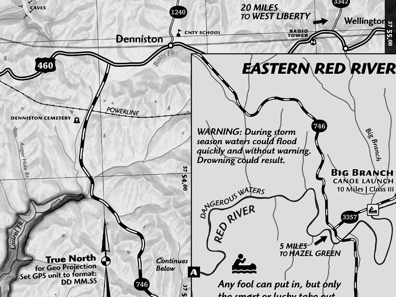
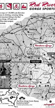 Climbing, Hiking, Paddling, and Mountain bike exploration in the Red An 18 x 24 inch map that locates popular and obscure climbing areas. The map has a GPS coordinate grid for navigating trails and jeep roads in the Southern and Northern Red. Also shown are paddling put-ins and take-outs, mountain biking areas, and the Pendergrass-Murray Recreational Preserve. 1:36,000 scale.
Features:
- Locations of adventure sport destinations
- 18″x24″ map 1:36,000 scale map Northern and Southern Red River Gorge
- 50 mapped climbing areas including Southern Gorge
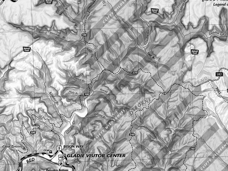
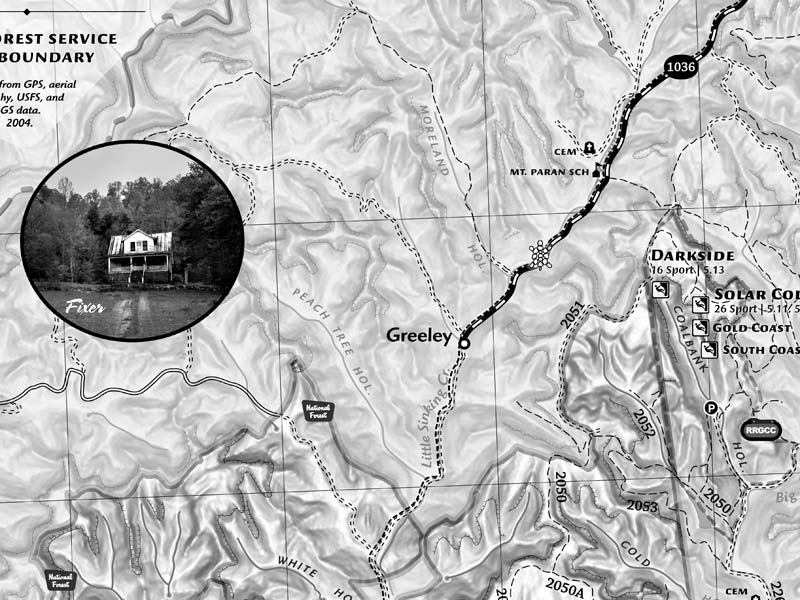
- Geo GPS coordinate grid
- Sheltowee Trace, USFS trails and jeep roads
- Hillshade with cliffline delineated
- Parking pull-outs, old forest service roads, and private campgrounds mapped
Map Includes:
- 1:36,000 18″x24″ map with GPS grid, cliffline, and parking pull-outs.


Reviews
There are no reviews yet.