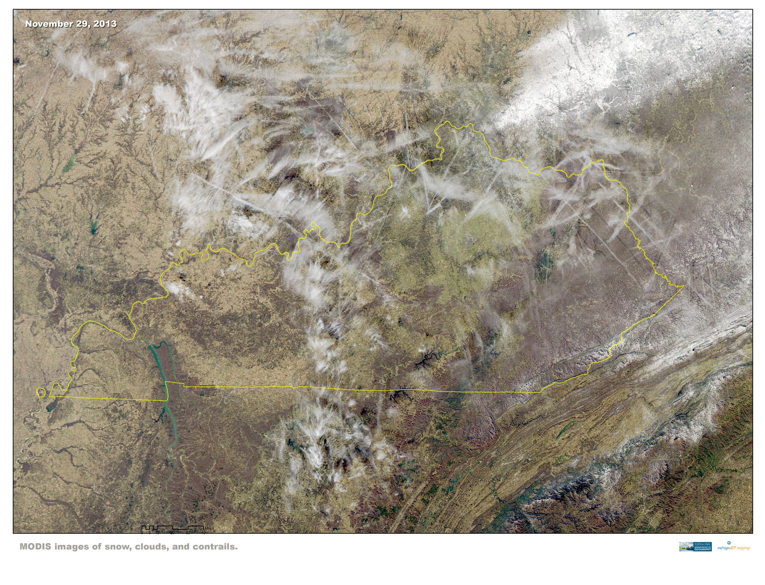
 On the day after Thanksgiving, the eye in the sky from MODIS shows heavy snowfall in southeast Ohio and in the highest Kentucky and West Virginia mountain locations. Contrails fill most of Kentucky’s northern skies.
Snow, Clouds, and Contrails
November 30, 2013 by Leave a Comment
Kentucky transitions into fall
November 17, 2013 by Leave a Comment
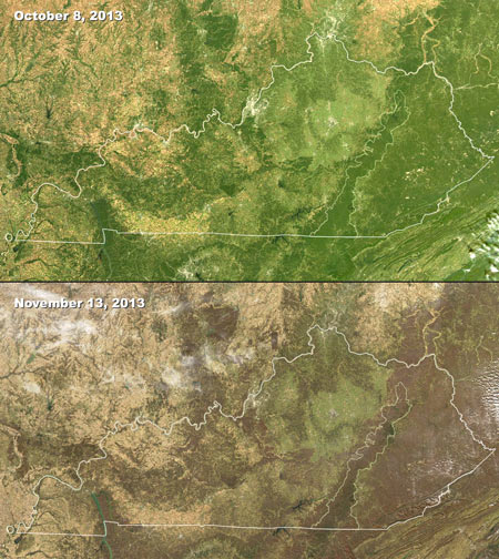
MODIS images of changing seasons in Kentucky, 2013
These satellite images are from the Moderate Resolution Imaging Spectroradiometer (MODIS) instruments on two satellites, Aqua and Terra. MODIS captures 36 electromagnetic wavelength bands to measure atmospheric water vapor, ozone, aerosols, land fire, surface temperature, and many other important variables of global climate. These images are visible light and clearly show the change in deciduous canopy cover within roughly a month of time. Spatial resolutions are between 250 m to 1 km.


