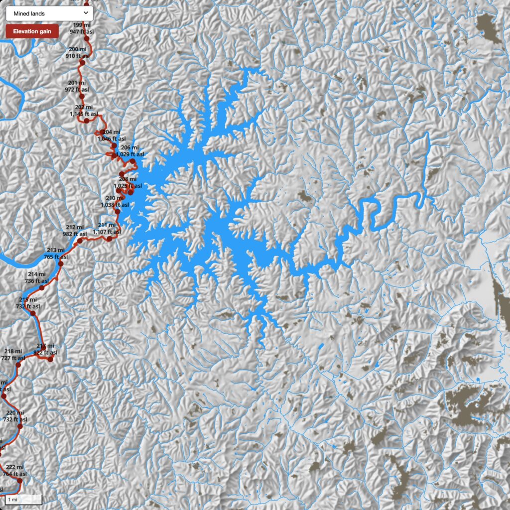
Two new layers have been added to the web map for the Daniel Boone NF and Big South Fork NRRA: the National Land Cover Database (NLCD) for 2021 (mrlc.gov) and mined lands, 1985–2020 (skytruth.org). The NLCD is a 30-meter resolution (each cell is 30×30 meters) land cover dataset showing each cell’s dominant land use.
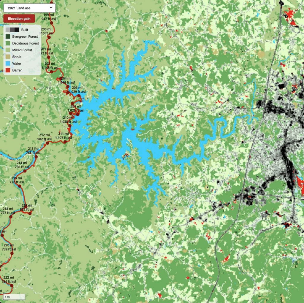
The cells are symbolized to show features significant for the area, such as multiple types of vegetation cover, the density of the built environment, and barren land. Inside the NF and NPS boundaries, barren land is likely to be exposures of bedrock, boulders, and earthen materials. For example, it shows Cumberland Falls. Outside of these boundaries, barren land is likely mines or construction sites.
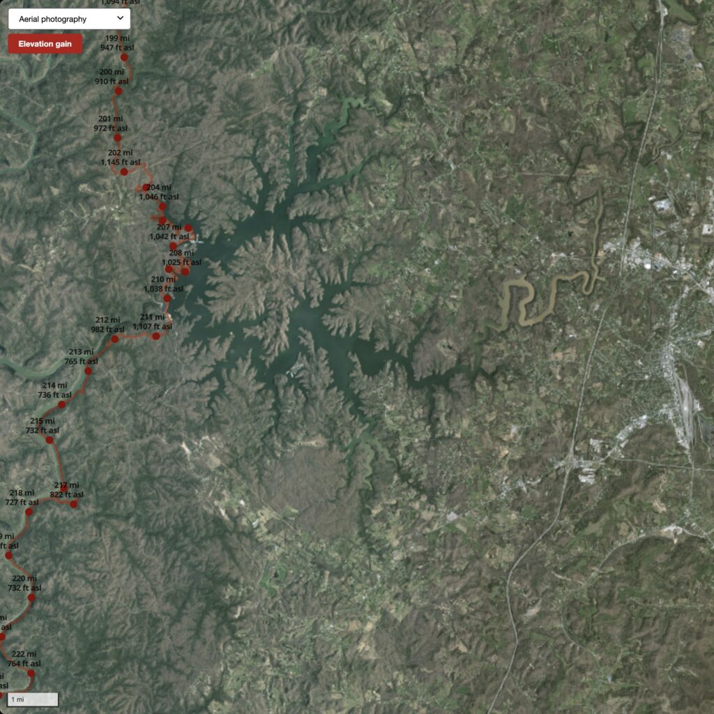
While the layer is low-resolution compared to the aerial photography layer, the NLCD helps us quickly understand landscape conditions that would be tedious to interpret from aerial photography alone.
One can identify the distribution of basic forest types and habitat patterns. The NLCD can be useful for understanding the extent of the wildland-urban interface — a vital consideration for Trail Towns, maintaining wildlife corridors, and managing tourism development in the region.
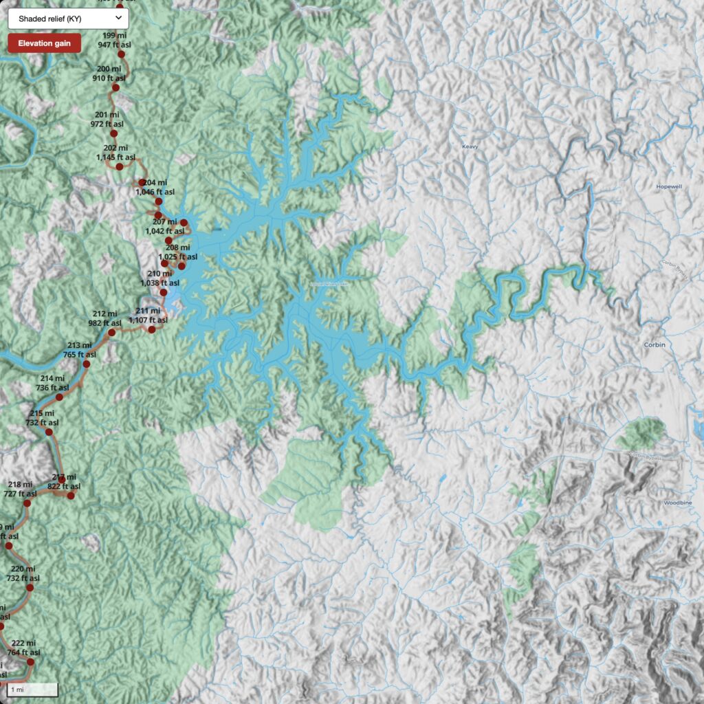
The NLCD layer, in conjunction with other layers on the web map, provides a comprehensive view of the public lands in the region. Before your next trip to the Daniel Boone NF or Big South Fork NRRA, take a look at all layers to get a sense of the landscape you will be visiting.


 Pine Mountain Trail Map


You must be logged in to post a comment.