Description
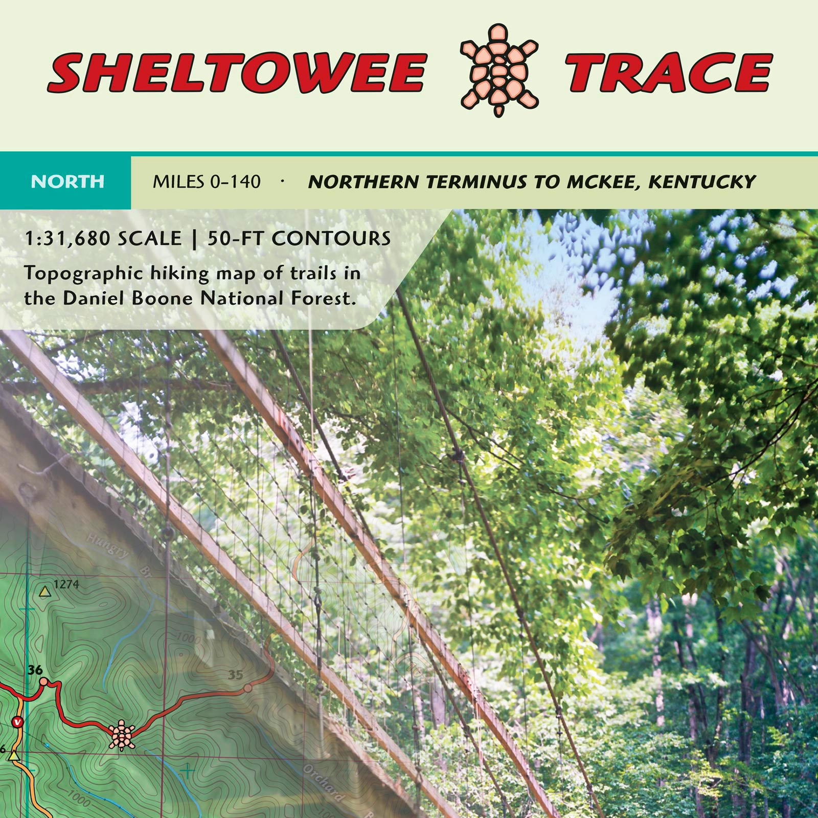
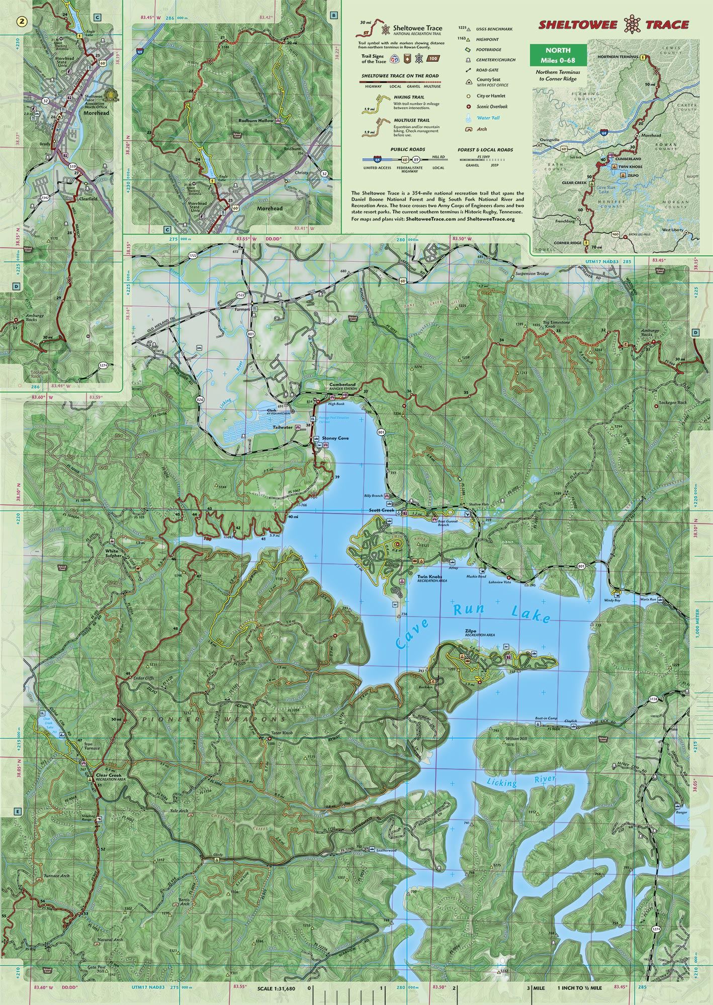
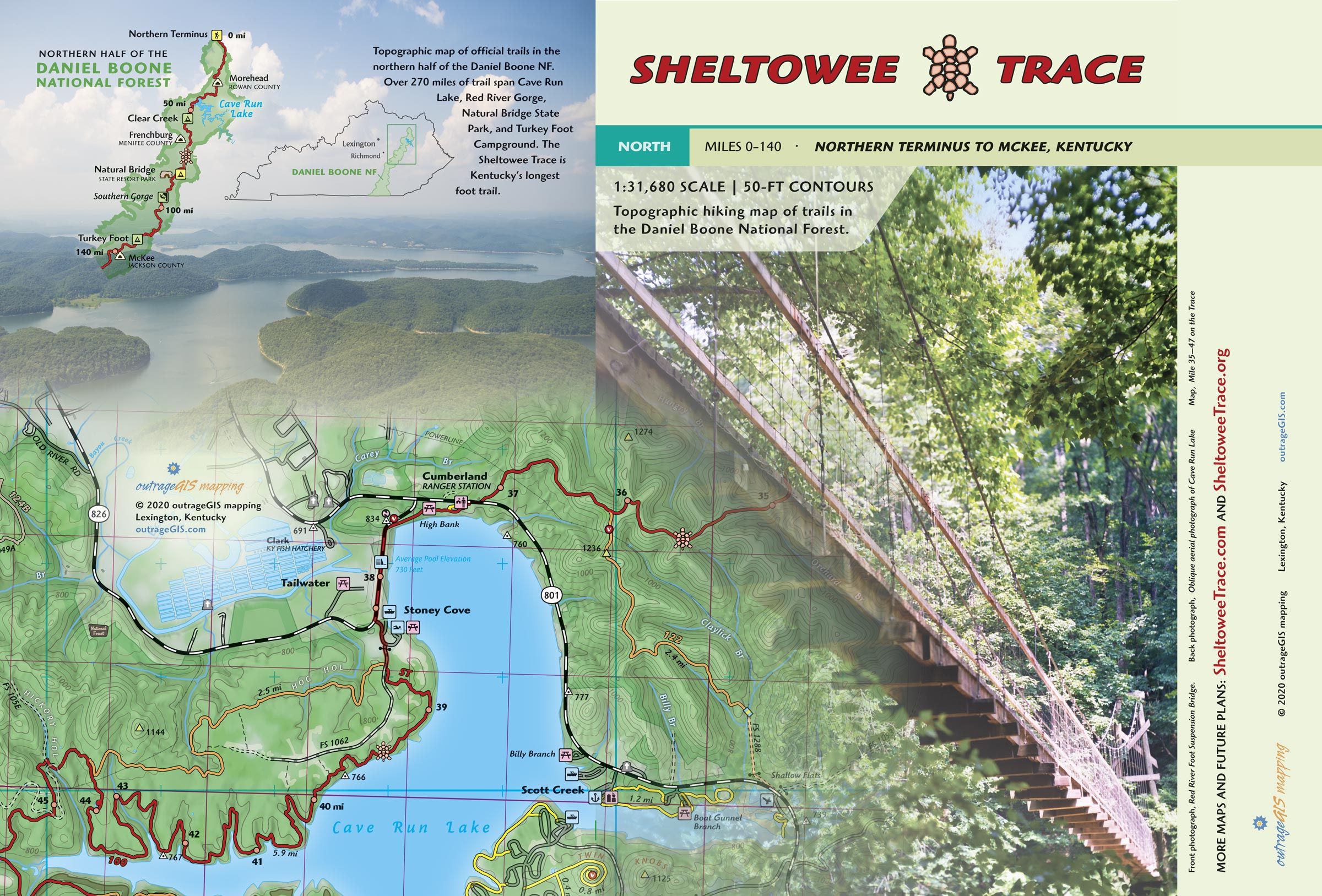
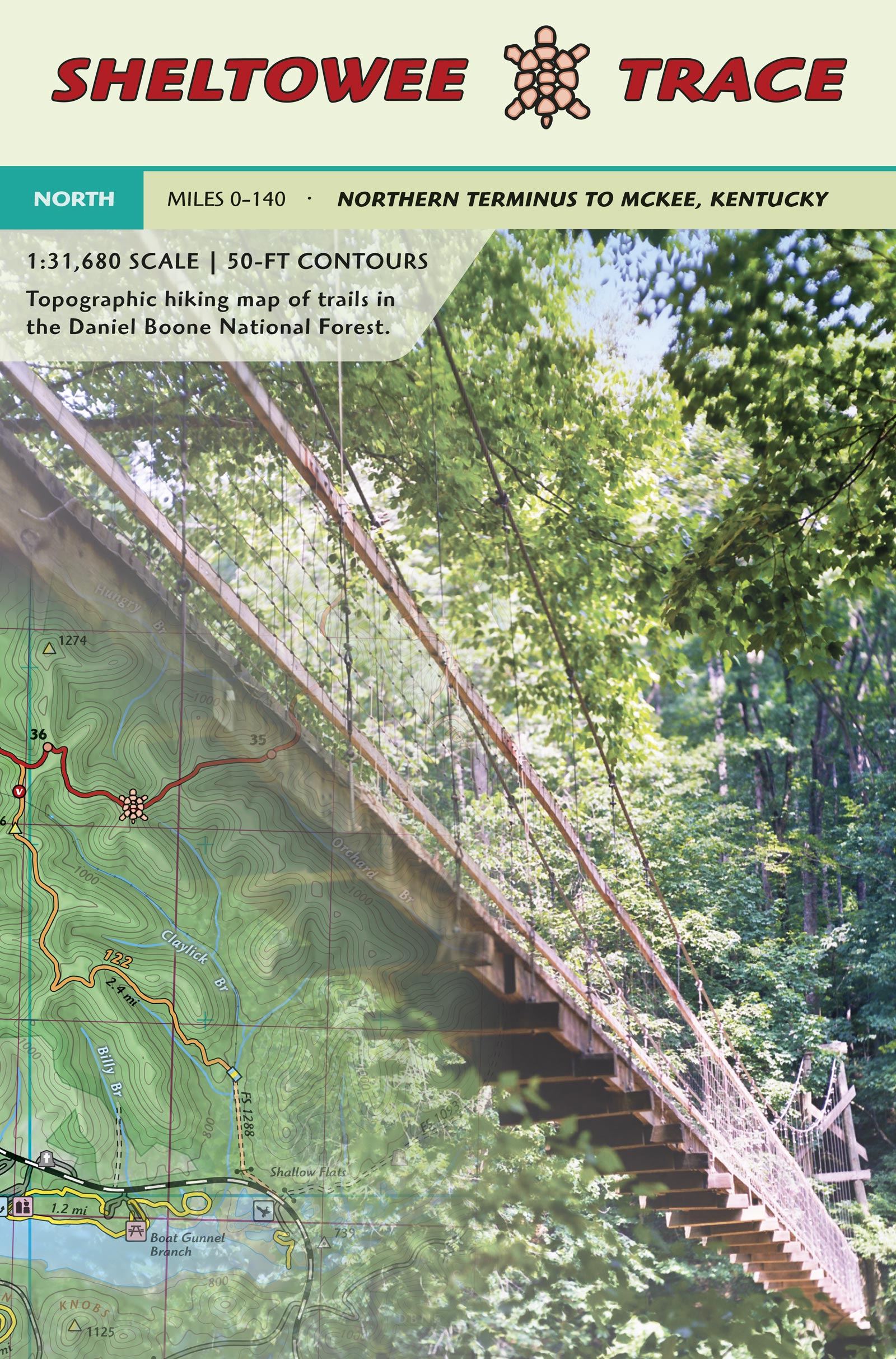
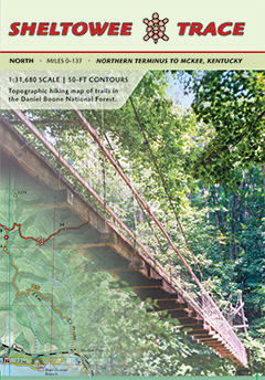 Master the Northern Sheltowee Trace National Recreation Trail (STNRT) with this essential topographic map, detailing 140 miles from the Northern Terminus to McKee, Kentucky (Mile Marker 141). This comprehensive map includes all official trails within the connected Daniel Boone National Forest and State Park lands, making it your crucial resource for planning your STNRT thru-hike or section-hike.
Features
- Two, 19″ x 27″ double-sided, laminated sheets for extra durability and folded in a heat press to ensure the maps pack flat at 4.5″ x 6.5″
- Includes new Morehead reroute and planned trails for Cave Run
- Beautiful full-color maps with forest canopy cover
- 1:31,680 scale, 1 inch to a half-mile
- Shows all official trails, with mileages between intersections, from the Northern Terminus to McKee, Kentucky
- 50-ft elevation contours
- Mile markers for the Sheltowee Trace
- Carries in 4-mil zipper poly bag for rugged use
Custom Lamination Process
Get maps that last. Our premium, laminated maps are made with a custom heat press for superior durability, guaranteeing they fold flat and stand up to any adventure.
Planning for Your Next Adventure
- Monitor current conditions with our weather station for the Sheltowee Trace.
- See detailed online maps at sheltoweetrace.com.
- Use our mobile GPS app to help locate you on our maps and find the nearest Sheltowee Trace mile marker. This app works in your phone’s browser, is entirely free, open source, and will not collect your information. Read more about why we made this app.
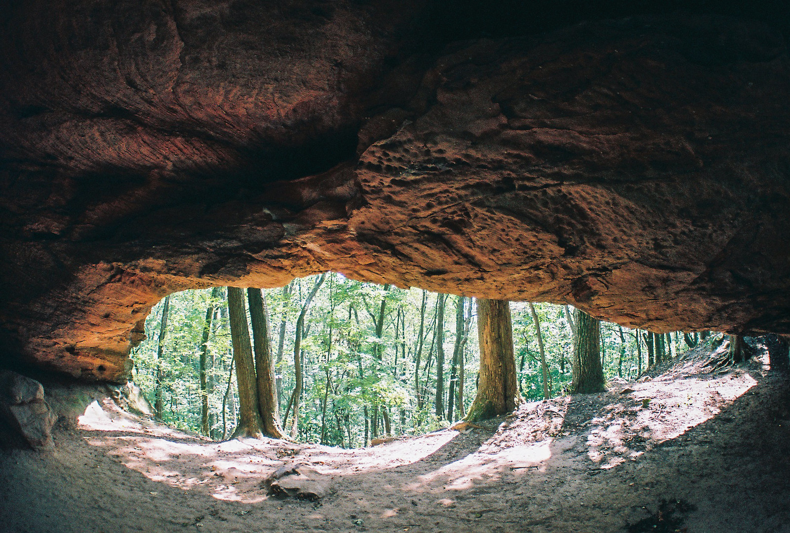
Trail photos from the Northern Daniel Boone
Visit the companion website at shewltoweetrace.com to join in a discussion about planning your next trip on the Sheltowee Trace.


Chris (verified owner) –
This map is perfect, thank you!