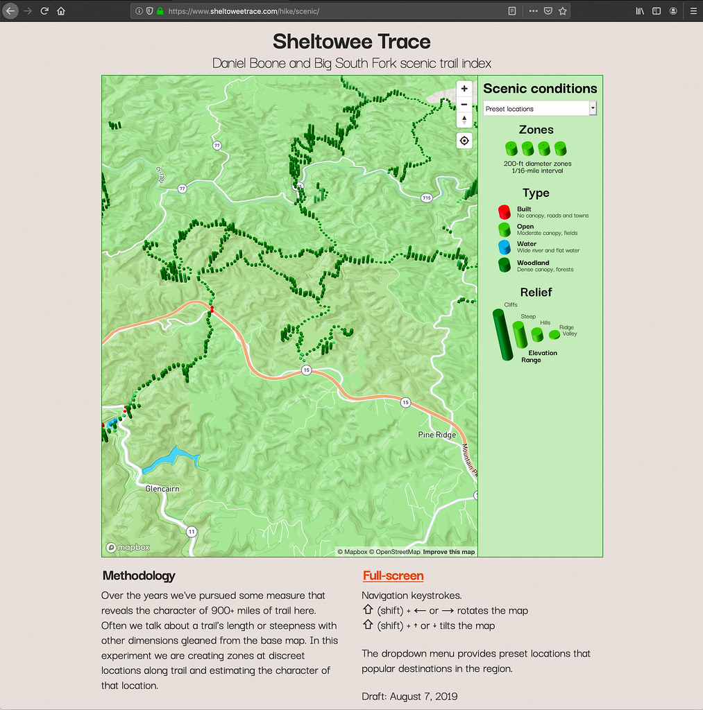
Over the years we’ve pursued some measure that reveals the character of 900+ miles of trail here. Often we talk about a trail’s length or steepness with other dimensions gleaned from the base map. In this experiment, we are creating zones at discreet locations along trails and estimating the character of that location.
Over 14,000 polygons are shown on this 3D Mapbox map. The color indicates the type of scenery and height shows how much relief is the area. Future additions to this map include adding a searching tool and summary statistics for each trail.


Speak Your Mind
You must be logged in to post a comment.