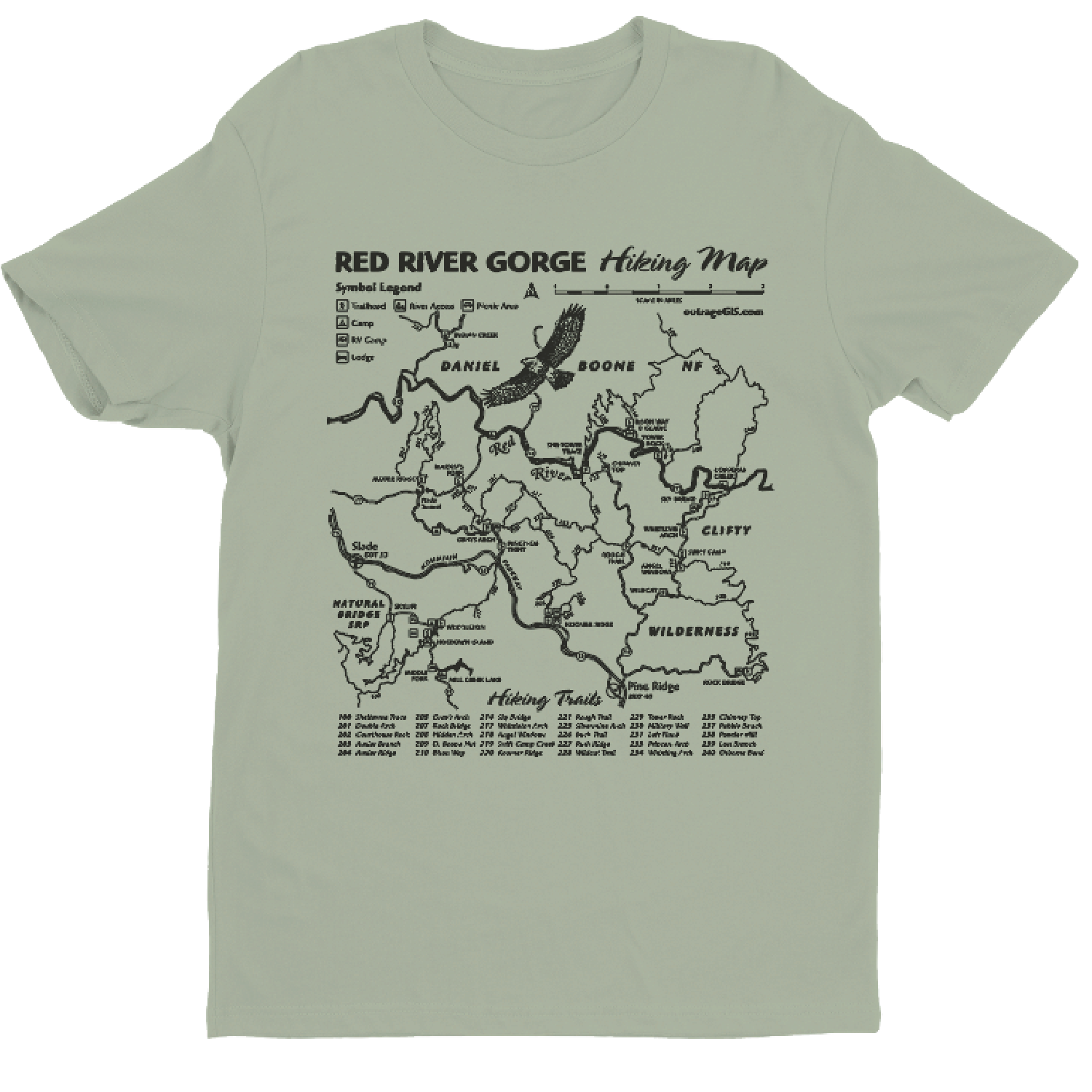
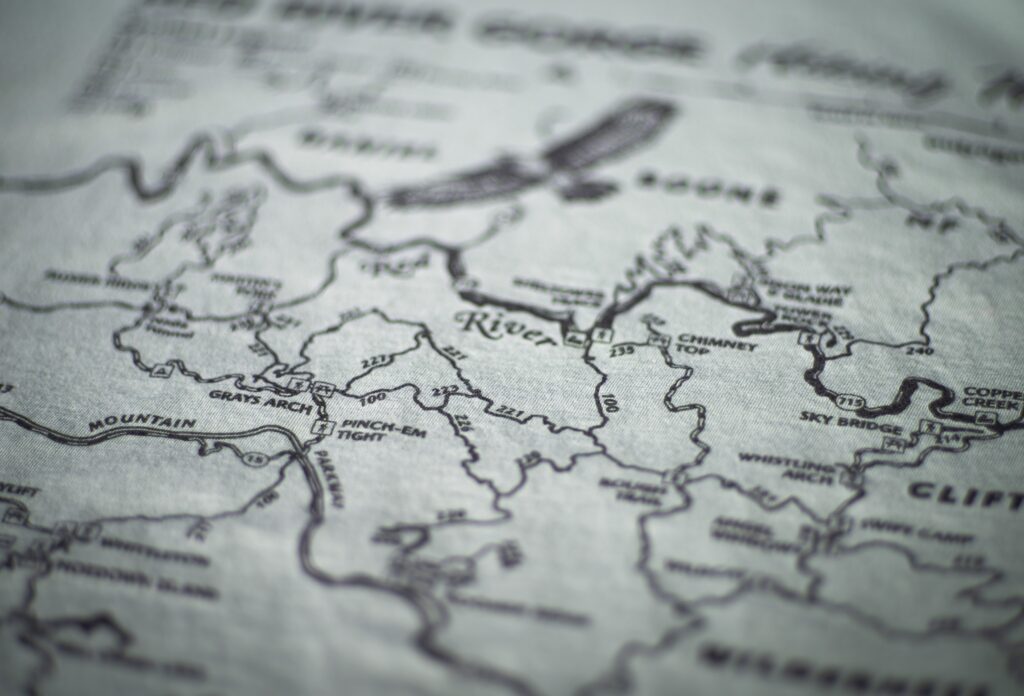
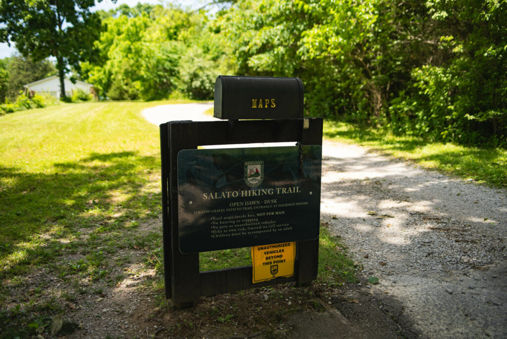
Spring weather is famously unpredictable, but your adventures shouldn’t be. Get maps that last. Our premium, laminated maps are made with a custom heat press for superior durability, guaranteeing they fold flat and stand up to any adventure.
To help you prepare for sudden downpours and muddy trails, we’re offering FREE SHIPPING on laminated map orders through May 31, 2026. Use code CAMP at checkout.

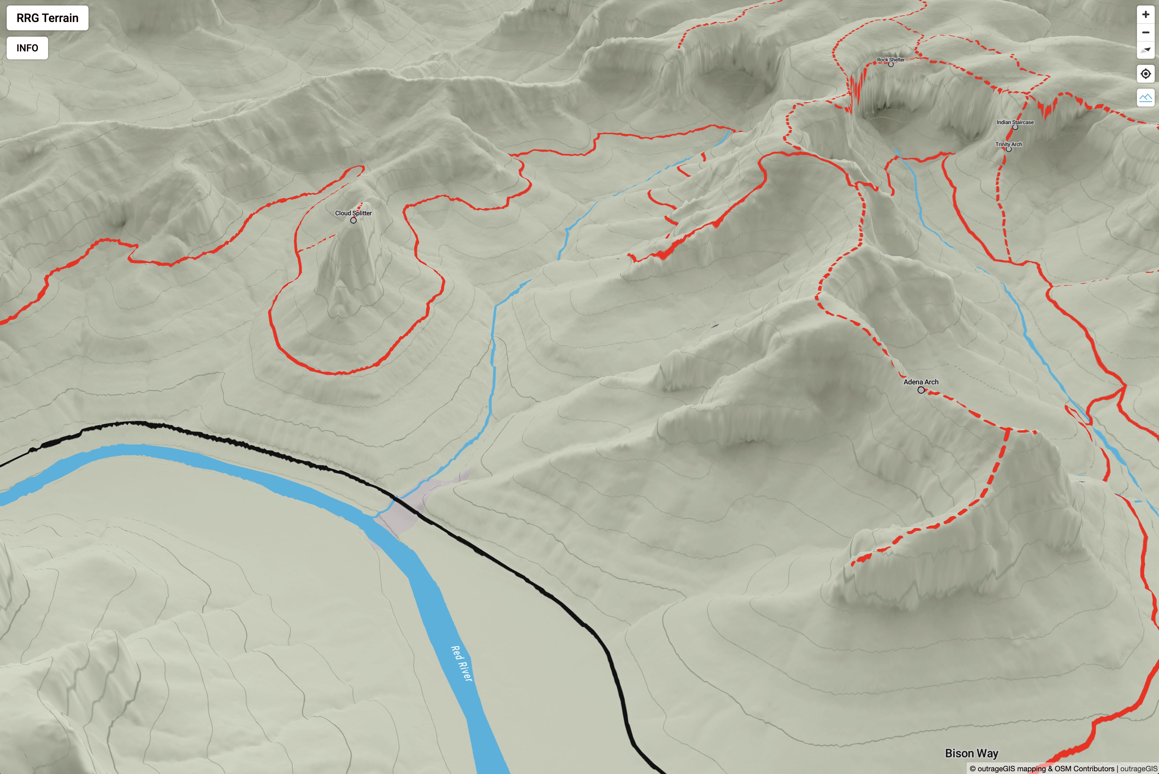
 Oblique of Frankfort
 Viewer interface
 Viewer interface
 Viewer interface
 Oblique of Laurel Lake
 Search by flight and shot ID
 Attributes of image footprint centroid
 Phase 1 decrease in height
 Phase 2 increase in height
 Phases combined
 Phase 2 colorized with aerial photography
 KyFromAbove Data Explorer

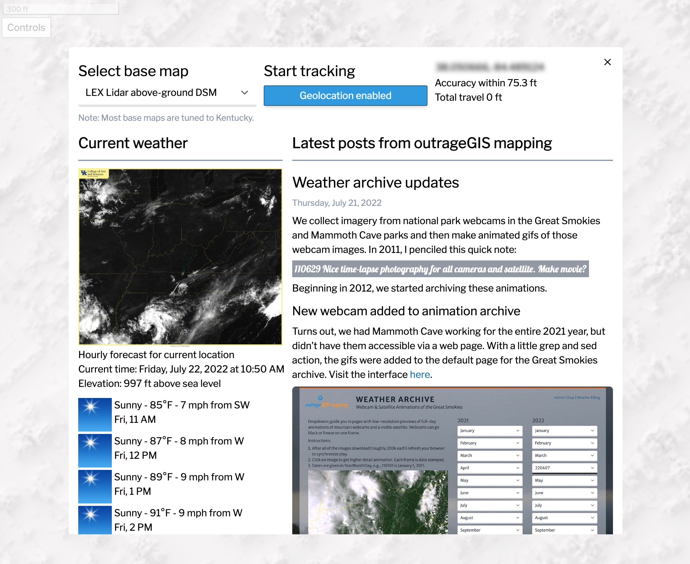
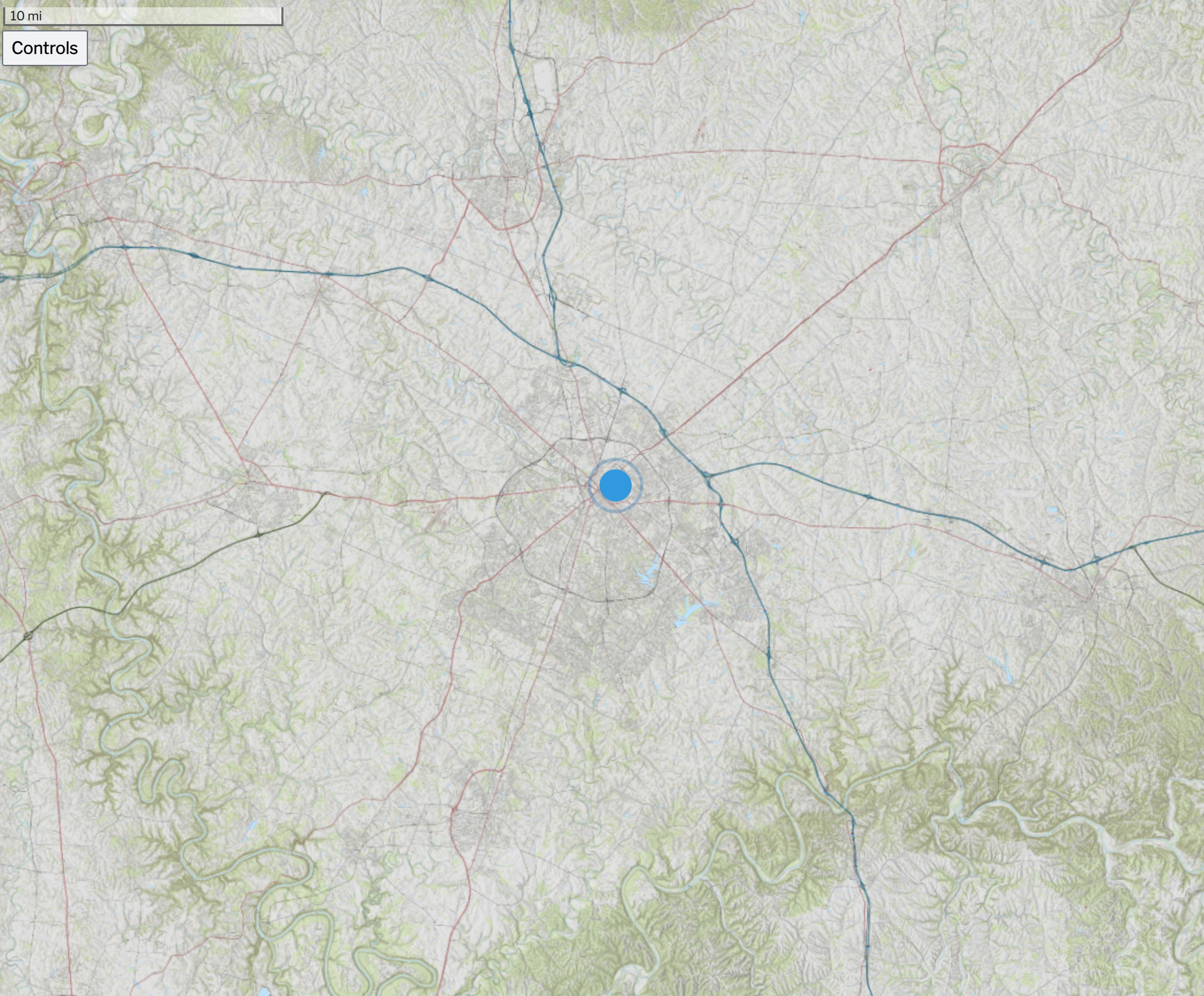 Above is an screen capture of the Kentucky Topo map for the state. Other base maps include, lidar-derived surface models and current GOES-16 imagery.
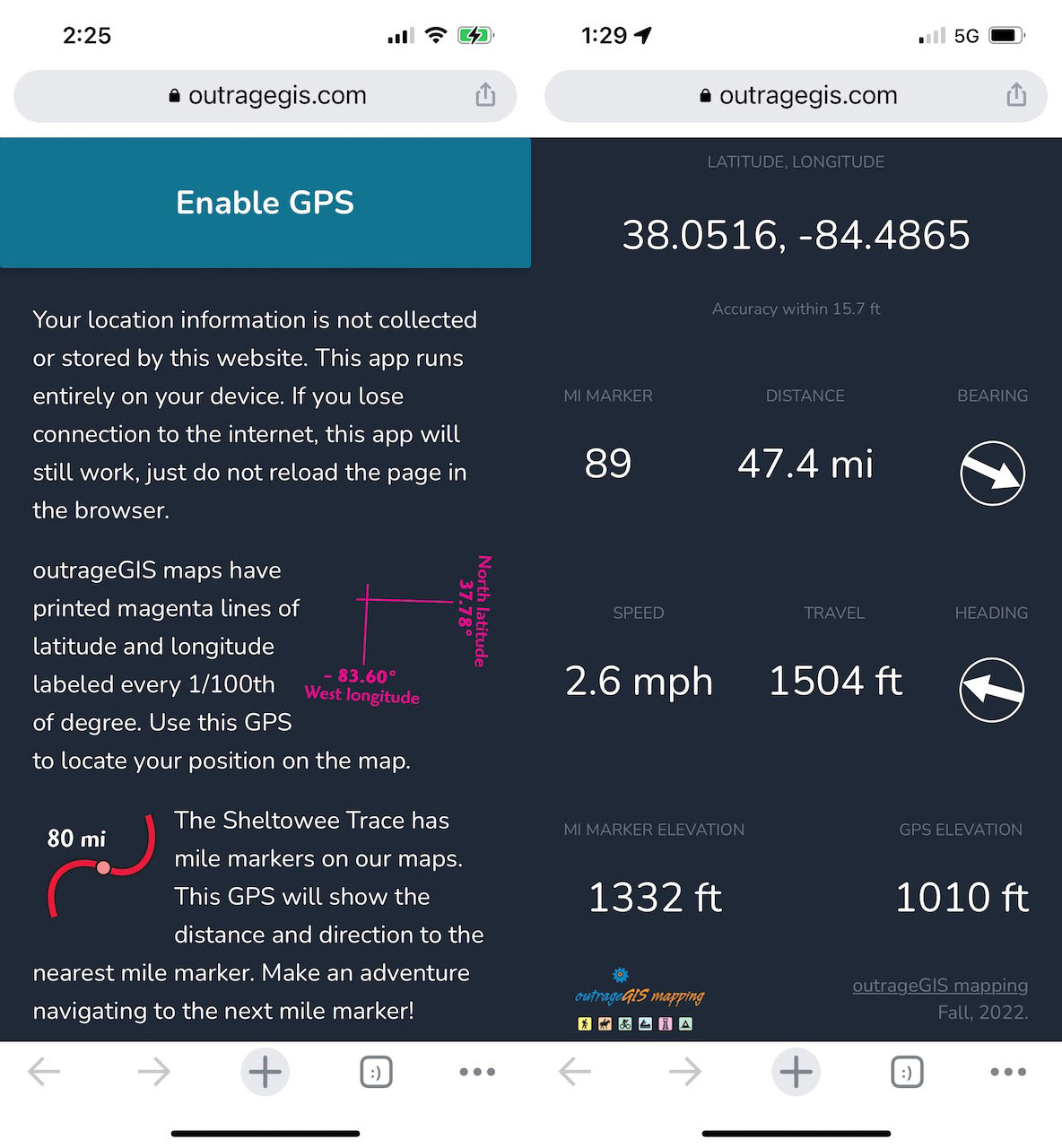
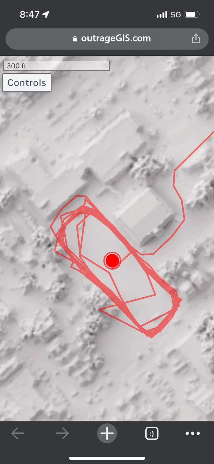 Screen capture of track mapping on a mobile device


