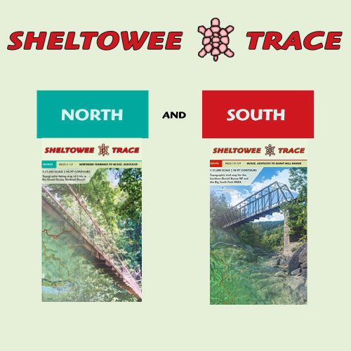
Description
Hike the entire 343-mile Sheltowee Trace National Recreation Trail (STNRT) with this comprehensive map set. Covering the full 2020 alignment from the Northern Terminus to the Big South Fork, this guide details the official trails and recreation areas across the Daniel Boone National Forest, Cumberland Falls, Natural Bridge, and Pickett State Parks. It also includes the planned extension to Rugby, Tennessee—your definitive resource for Kentucky’s longest backcountry trail.
Features
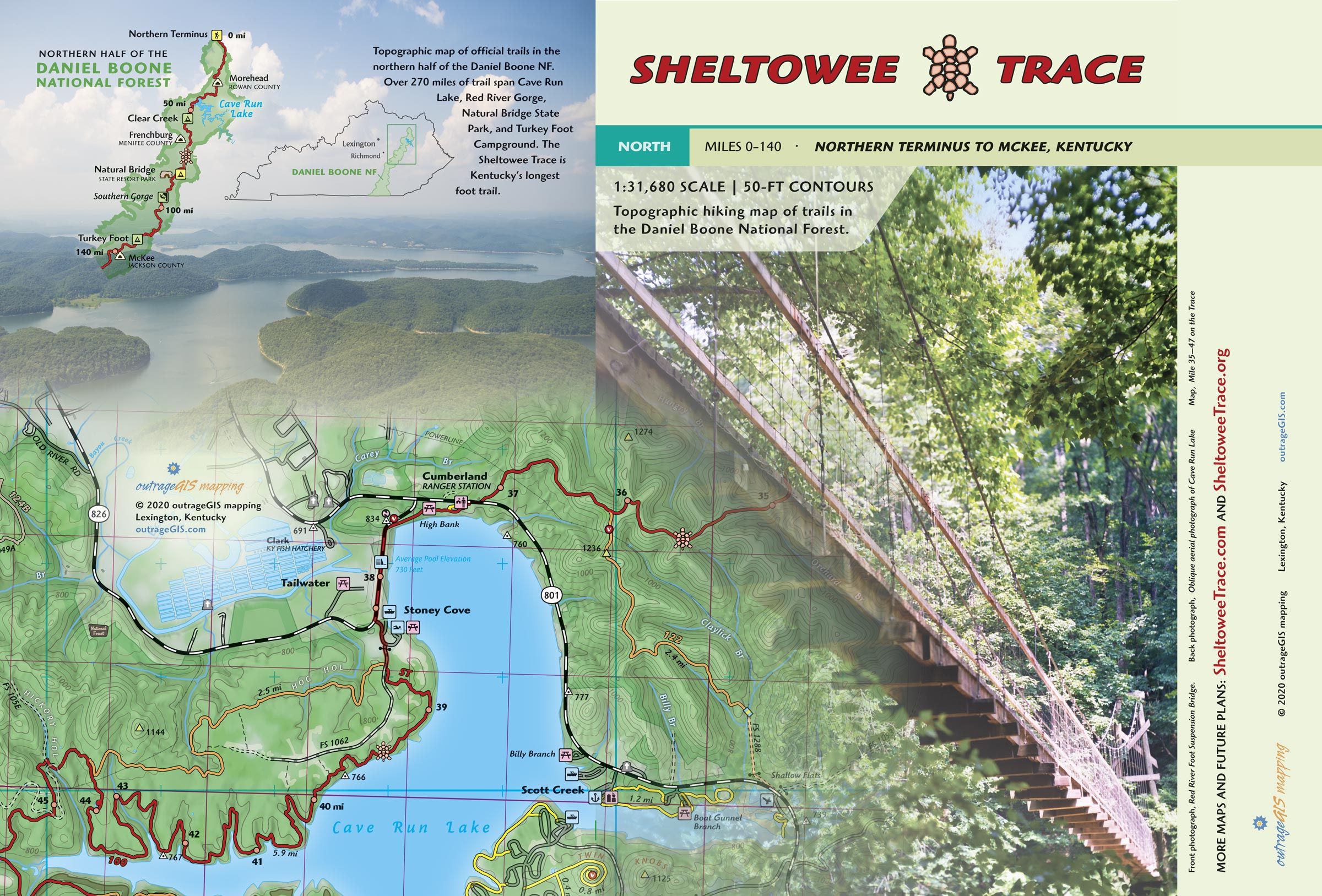
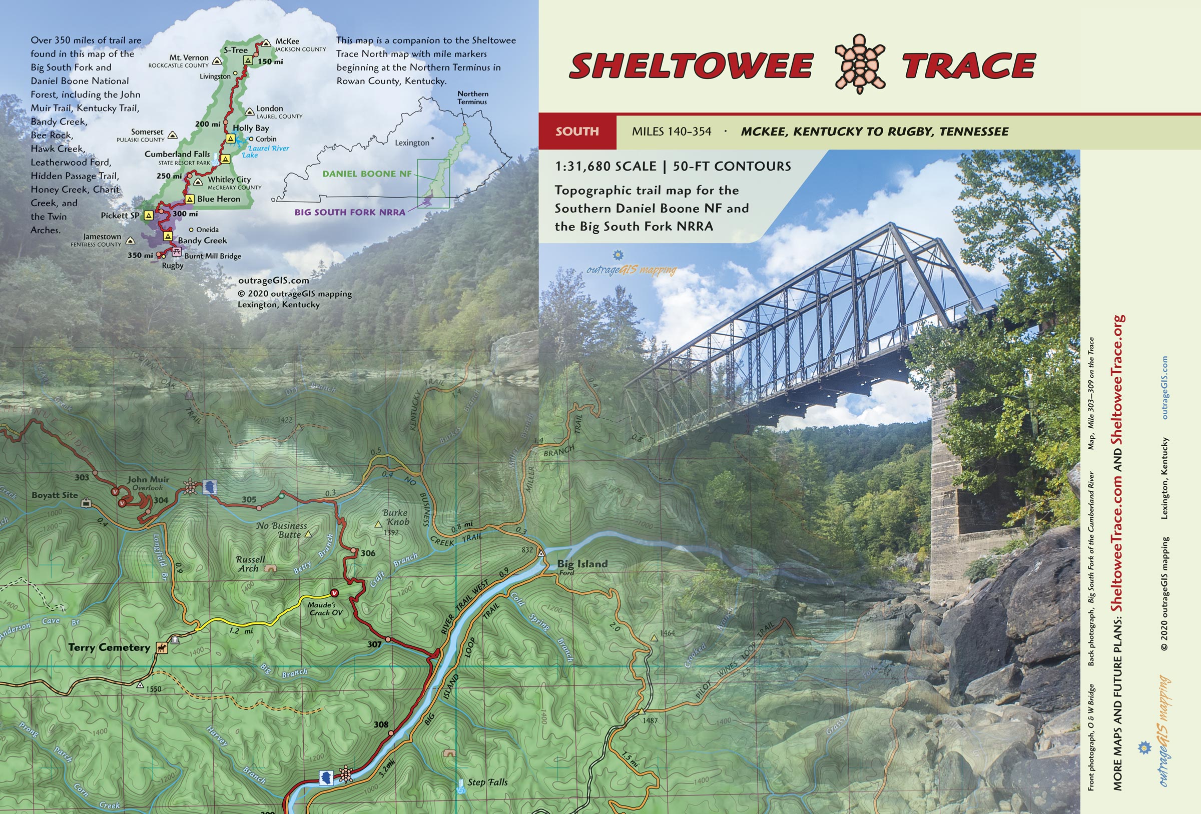
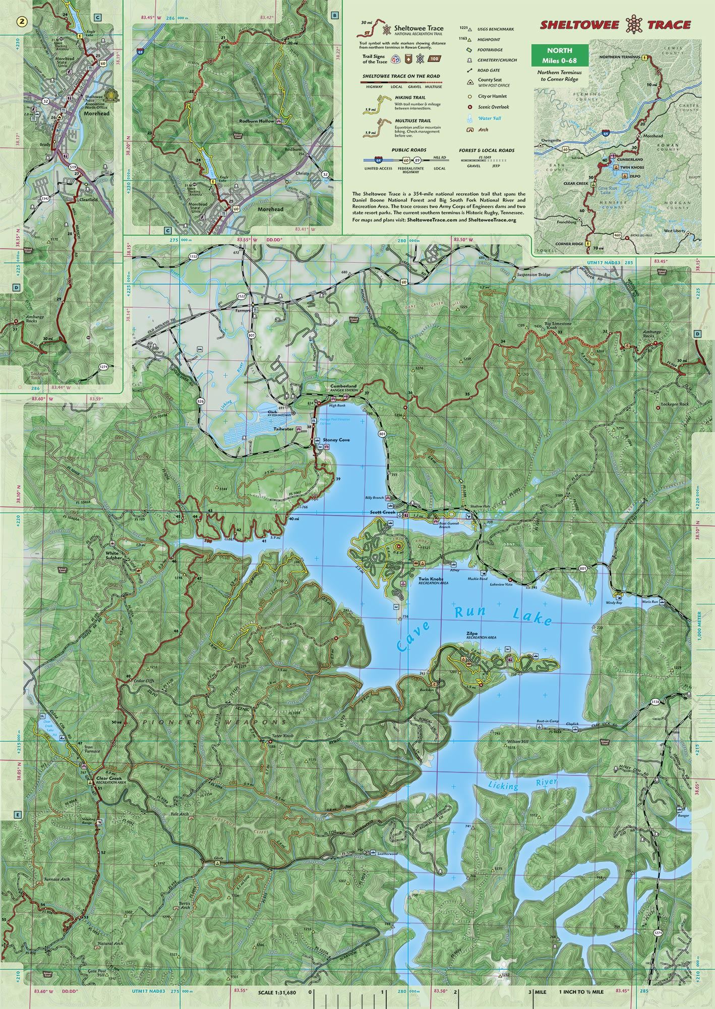
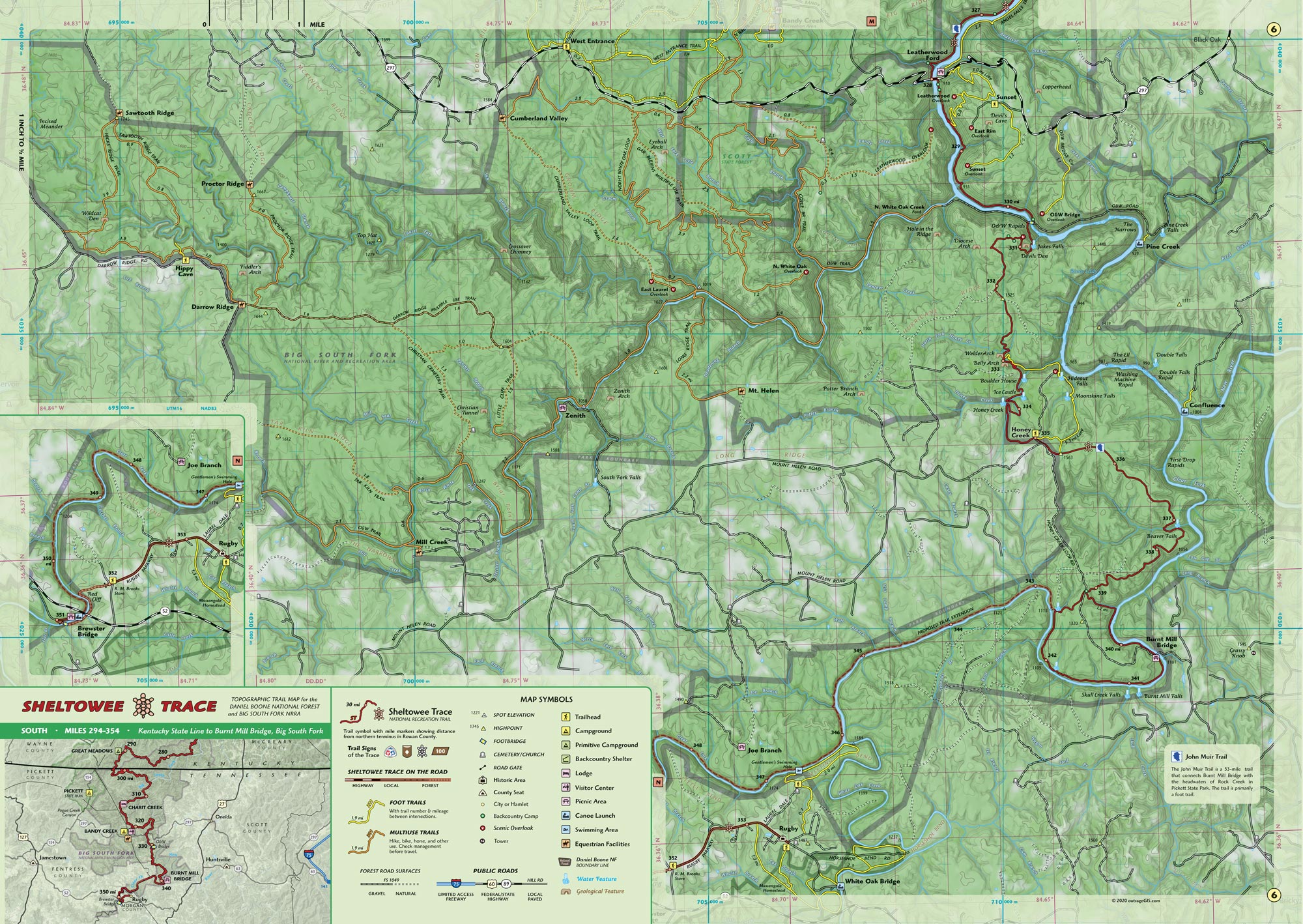
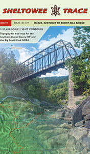
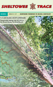
- Ten-panel 27″ x 19″ full-color topographic maps with forest canopy cover
- 1:31,680 scale, 1 inch to a half-mile
- Covers all official trails, Big South Fork National River and Recreation Area, and the Daniel Boone National Forest
- Includes 50-ft elevation contours, park and forest boundaries, scenic areas, backcountry camps, and front country camp and recreation facilities.
- Shows the entire Sheltowee Trace
- Includes mile markers with mileage beginning at the Northern Terminus
- Official connecting trails are shown with mileage
- Carries in 4-mil zipper poly bags for durable use
Planning for Your Next Adventure
- Monitor current conditions with our weather station for the Sheltowee Trace.
- See detailed online maps at sheltoweetrace.com.
- Use our mobile GPS app to help locate you on our maps and find the nearest Sheltowee Trace mile marker. This app works in your phone’s browser, is entirely free, open source, and will not collect your information. Read more about why we made this app.
Your Backcountry Destinations
Buckskin – Lake View – Caney Loop – The Rough Trail – Swift Camp Creek – Auxier Ridge – Courthouse Rock – Rock Garden – Hoods Branch – Double Arch – Turkey Foot Loop – S-Tree Loop – John Muir Trail – Kentucky Trail – Twin Arches Loop – Litton & Blevins Farm Loops – Pilot Wines & Big Island Equestrian Loops – Hidden Passage Loop – Rock Creek Loop – Leatherwood Ford Loop – Grand Gap Loop – Blue Heron Loop and trails around the Charit Creek Lodge area – Yahoo Falls Loop – Rockcastle and Scuttlehole Loop – Bee Rock and Rockcastle Narrows
Your Scenic Destinations
Northern Terminus – New Morehead Reroute – Eagle Lake – Rodburn Hollow – Amburgy Rocks, Four Fingers, Cave Run Lake, Clear Creek, Corner Ridge, Clifty Wilderness, Red River Gorge – Natural Bridge State Resort Park – Pendergrass-Murray Recreational Preserve – Turkey Foot – McKee – S-Tree – Horse Lick Creek – Hawk Creek – Rockcastle Narrows – Bee Rock – Cane Creek WMA – Laurel Lake – Mouth of Laurel – Cumberland River – Honey Creek Overlook – Angel Falls Overlook – Sunset Overlook – O&W Bridge – Bronco Overlook – John Muir Overlook – Fall Branch – No Business Creek – Litton and Blevins Farms – Van Hook Falls – Cumberland Falls – Sinking Creek Suspension Bridge – Hawk Creek Suspension Bridge – Blue Heron – Laurel River Lake Dam


Reviews
There are no reviews yet.