
 Red River Gorge Backpacking Map
Distance: 1.5 Miles loop
Difficulty: +
Scenic Views: ++
Elevation Relief: 300ft ^
Ownership: Daniel Boone National Forest, USFS
| Red River Gorge Backpacking Map: $14 |
 |
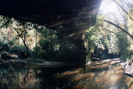 Rock Bridge
Rock Bridge Scenic Picnic Area is the start and end for this easy hike. This trail descends into the Swift Camp Creek drainage area and visits Creation Falls, one of the largest falls in the Gorge, and Rock Bridge, the only arch with a stream flowing beneath it.
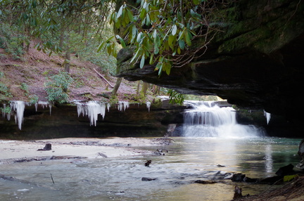 Creation Falls


Speak Your Mind
You must be logged in to post a comment.