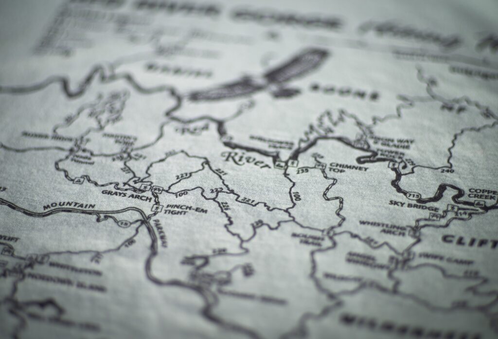
As summer heat peaks, we’re taking a closer look at two massive structural features that shaped eastern Kentucky’s landscape: Cave Run Dam and Laurel River Dam.
Both Cave Run and Laurel River Dams sit within the Daniel Boone National Forest, carving out some of the clearest waters, super scenic trail networks, and best fishing in the region. Check out Kentucky From Above Explorer for bird’s eye views of the beaches, dams, and lakes.
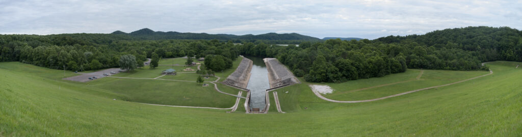
Cave Run Dam
Built by the U.S. Army Corps of Engineers and completed in 1974, Cave Run Dam tames the Licking River. The resulting 8,270 acre reservoir, Cave Run Lake, is framed by rolling hills and limestone bluffs.
Campgrounds and Beaches
- Zilpo Recreation Area: Family-friendly and situated on a lush peninsula, Zilpo features a wide sandy swimming beach, a store, and bathhouses.
- Day-Use Beach: Day-use passes run ~$5 per vehicle.
- Camping Rates: Campsites start at $65/night.
Nearby Trails
- Zilpo Mountain Loop: A scenic 2.25-mile loop climbing up to elevated lake overlooks.
- Twin Knobs & Caney Loop: Nearby systems offering mild terrain, ridge-line walks, and connector routes into deeper backcountry tracks
Laurel River Dam
Also completed in 1974, the Laurel River Dam stands 282 feet high, impounding a steep-sided gorge to create the 5,600-acre Laurel River Lake. Because the shoreline is mostly undeveloped federal forestland, it contains some of the clearest, deepest waters in Kentucky.
Campgrounds & Beaches
- Corbin Beach / Spillway Beach: Located less than a mile from the dam, this 725-foot sandy beach offers a calm area for swimming along the cliff-lined banks. Beach access is free.
- Holly Bay & Grove Campgrounds: Starting at $32/per night
- Boat-In Camping: Whiteoak and Grove offer primitive boat-in campsites tucked away in secluded coves
Nearby Trails
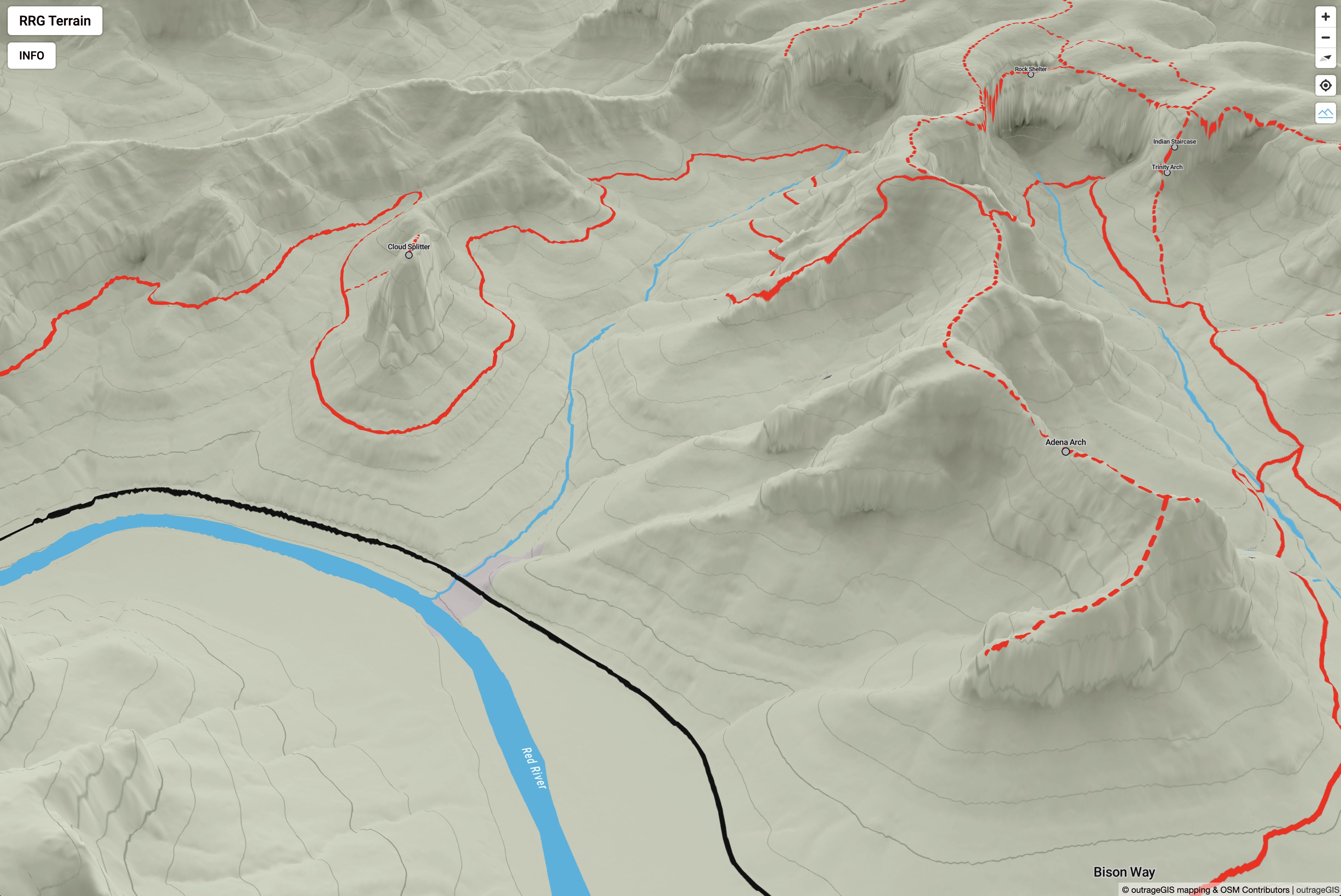
- Sheltowee Trace National Recreation Trail: Kentucky’s premier long-distance trail crosses directly over the Laurel Dam spillway.
- Damsite Trail: A short, accessible trail offering elevated vistas of both the intake structure and the tailwaters cutting through the gorge below


 Oblique of Frankfort
 Viewer interface
 Viewer interface
 Viewer interface
 Oblique of Laurel Lake
 Search by flight and shot ID
 Attributes of image footprint centroid
 Phase 1 decrease in height
 Phase 2 increase in height
 Phases combined
 Phase 2 colorized with aerial photography
 KyFromAbove Data Explorer
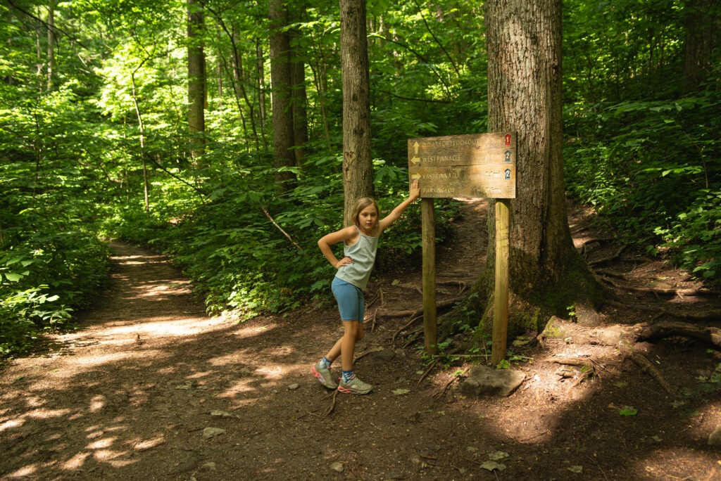

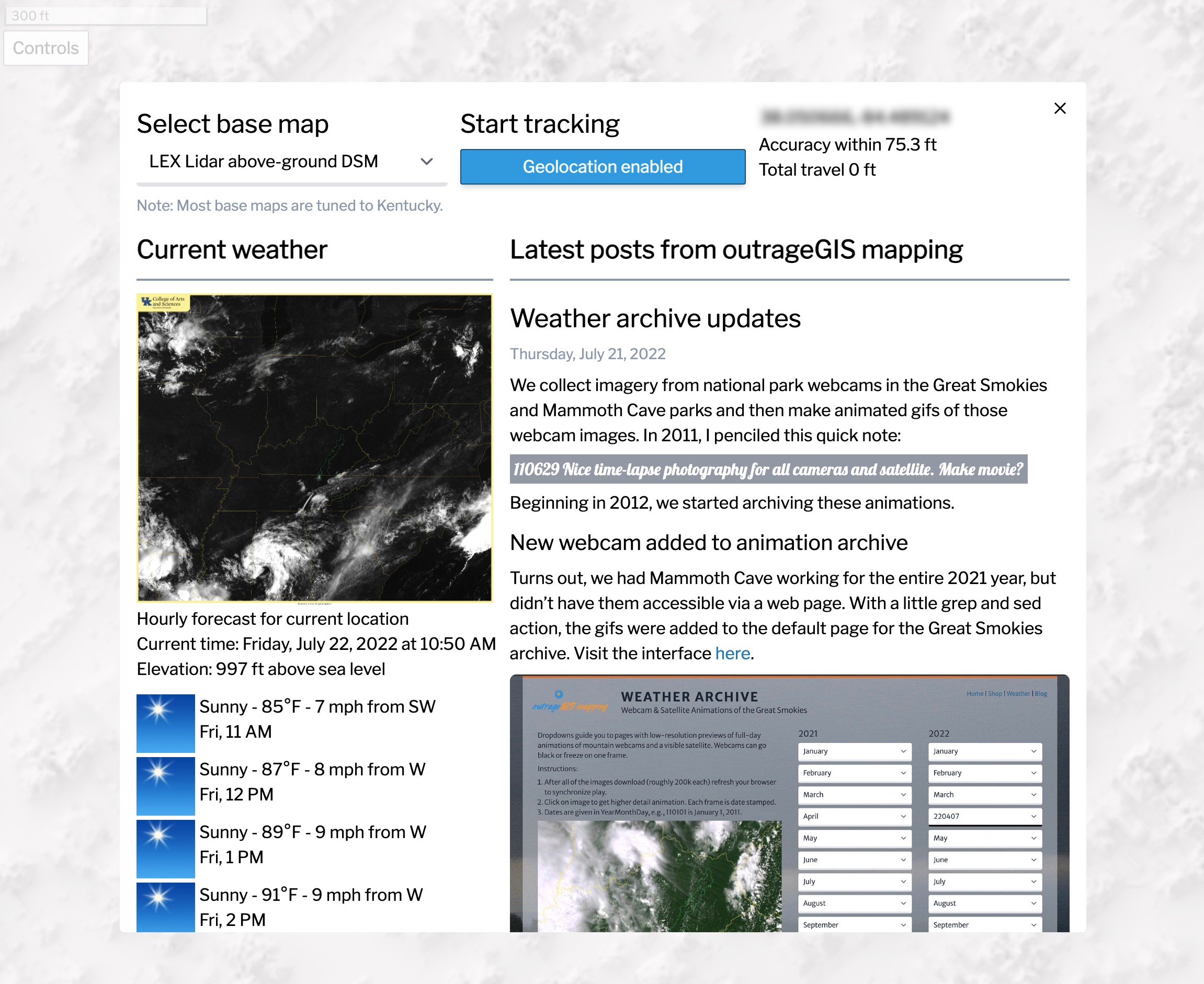
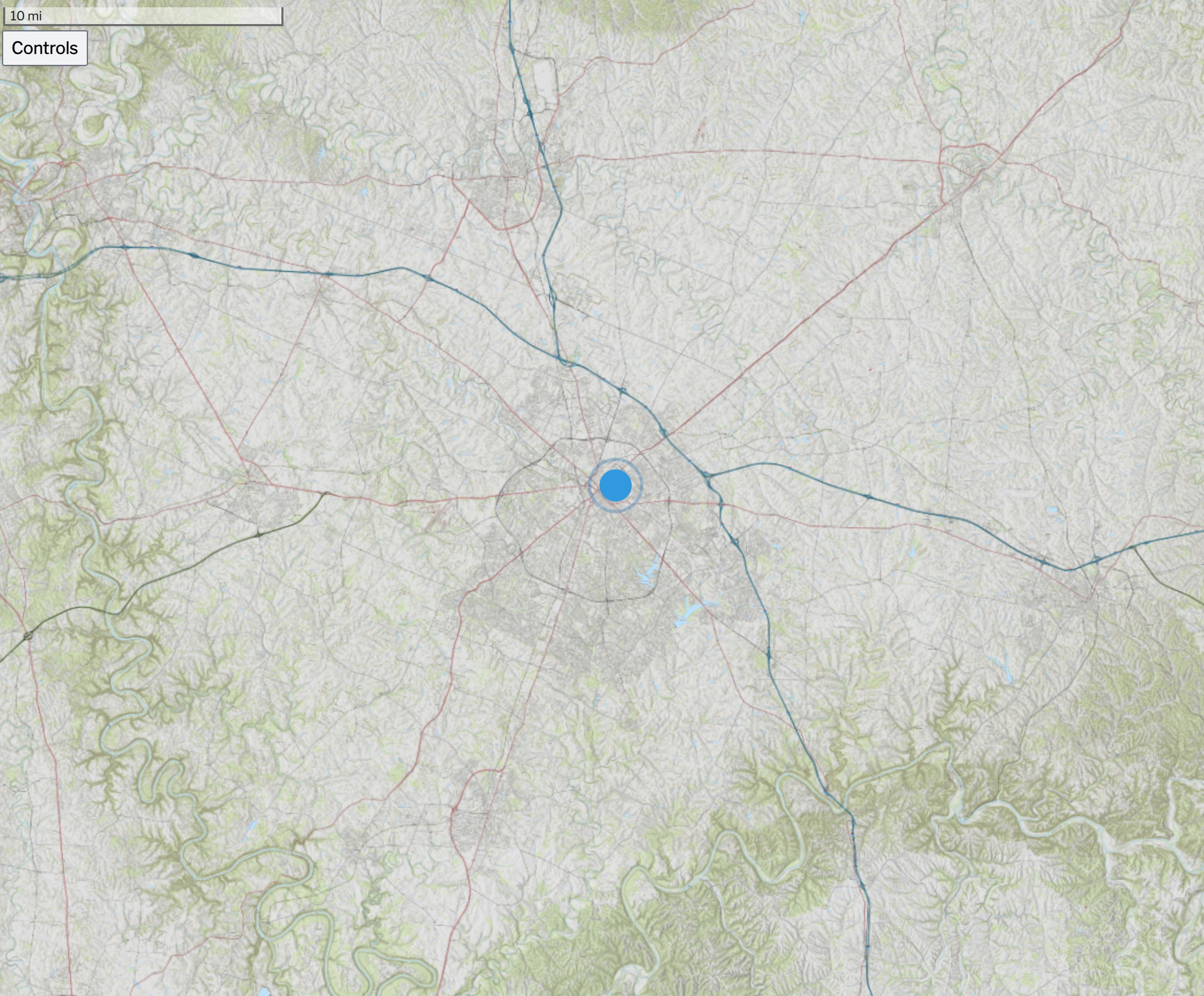 Above is an screen capture of the Kentucky Topo map for the state. Other base maps include, lidar-derived surface models and current GOES-16 imagery.
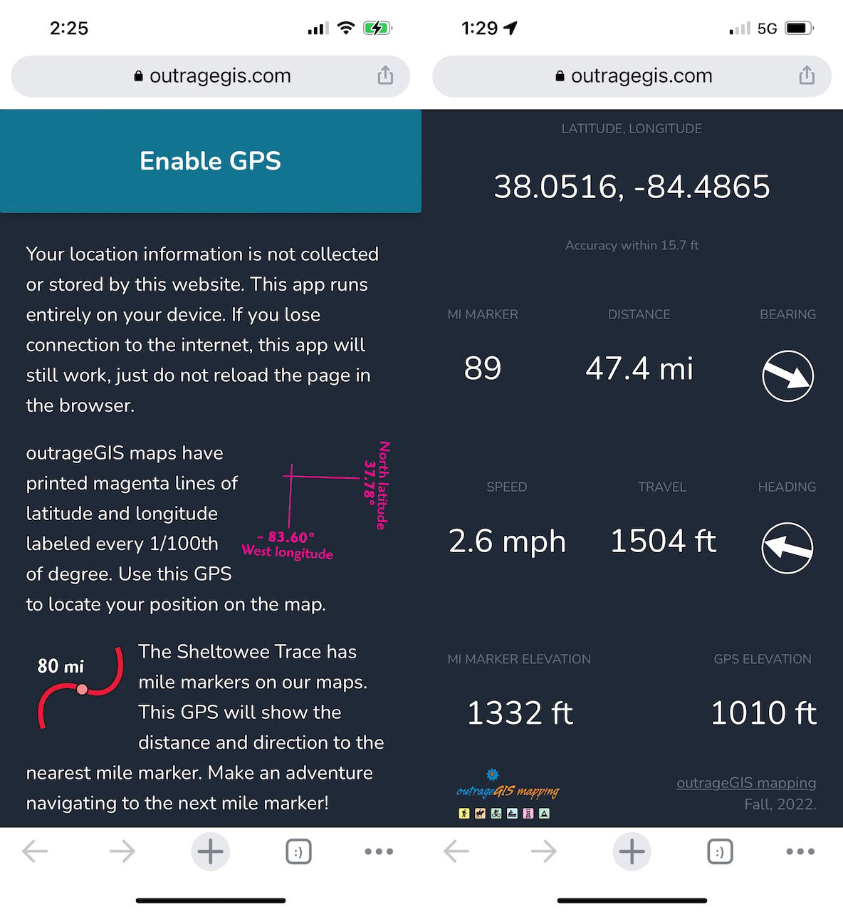
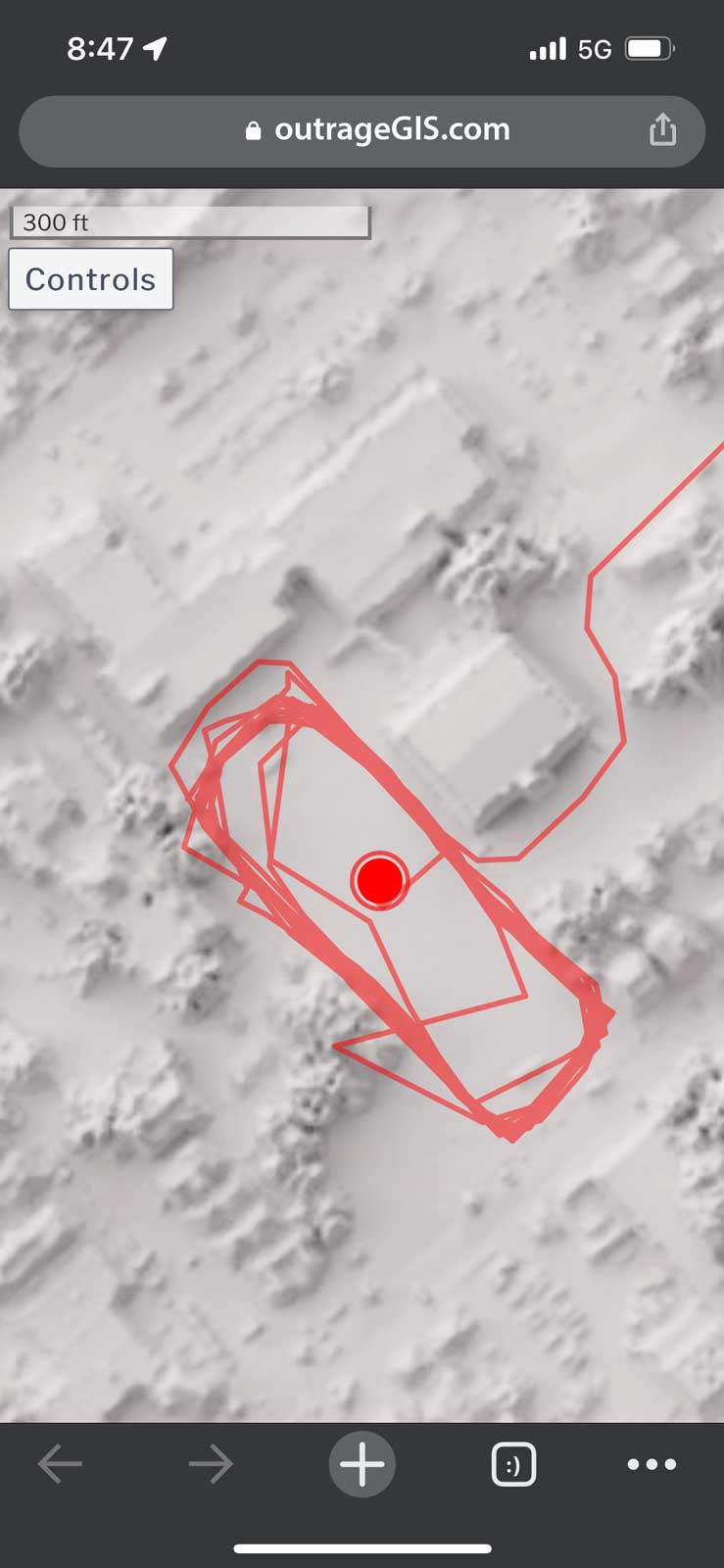 Screen capture of track mapping on a mobile device


